5 routes · Hiking
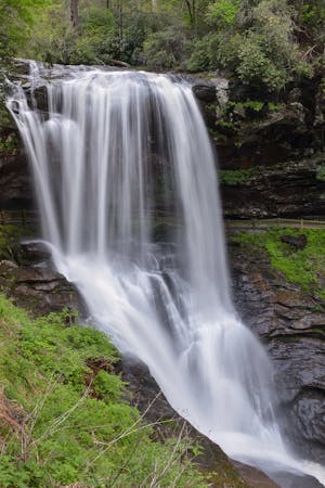
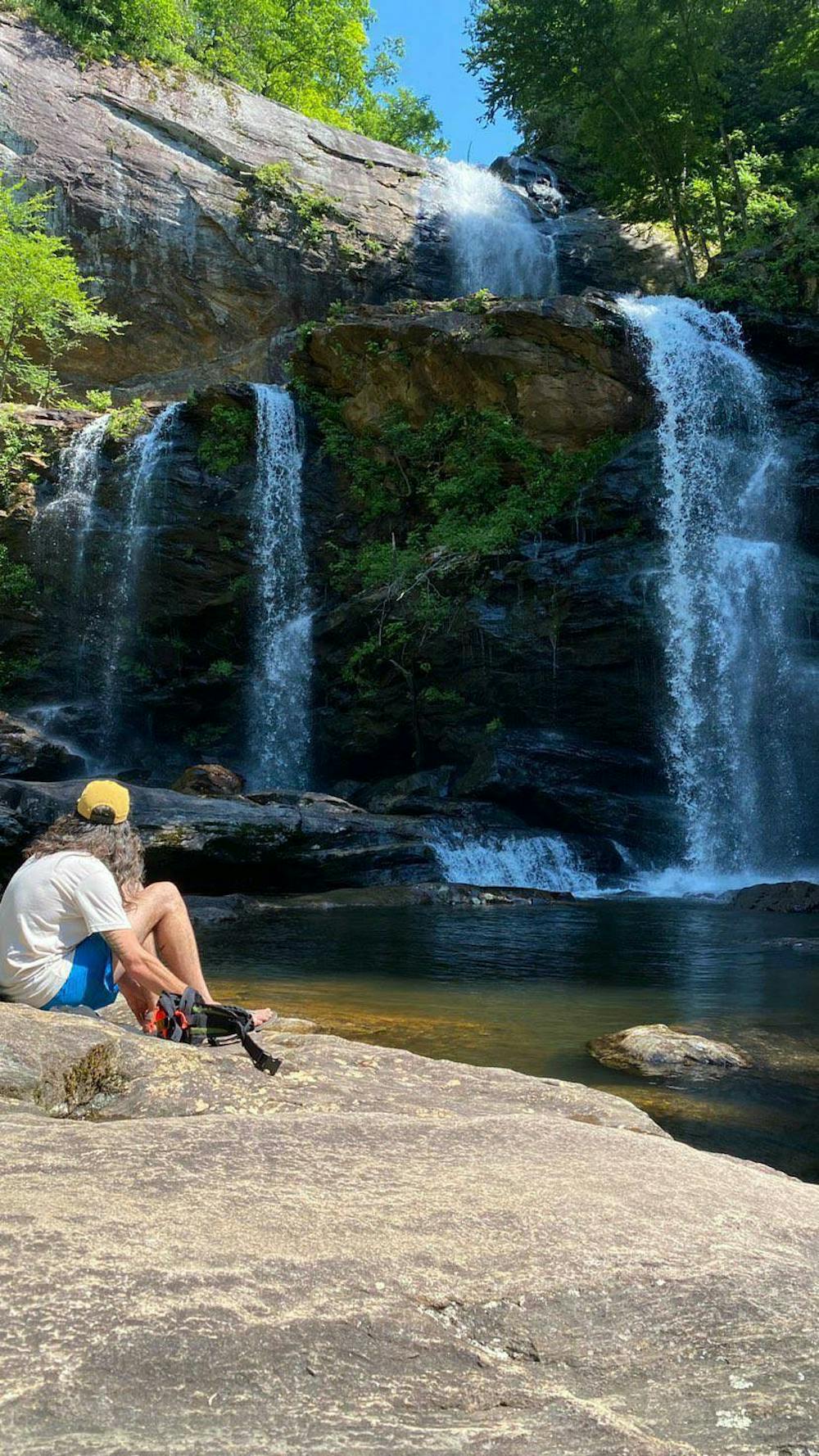
A massive, two-tiered waterfall below Lake Glenville full of swimming holes.
Hiking Moderate

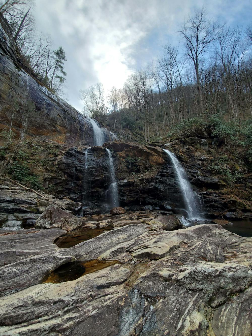
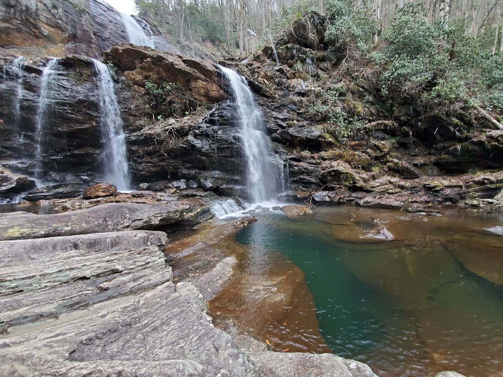
Hidden just below the Lake Glenville dam lies High Falls, one of the best short waterfall hikes in the area. The bottom of the falls is loaded with swimming holes, and two other waterfalls can be found on the trek up. This is a year-round hike perfect for the entire family, including the dog!
The lower parking area for this hike is located off Highway 107, just north (downhill) of the recycling center. It's a sharp hairpin left turn onto Shoal Creek Mountain Road - which is easily missed. Find yourself a spot along the side of the road, but be sure to adhere to any No Parking signs placed by nearby homeowners or the Forest Service.
As an alternative, you can park at the top of the waterfall along Pine Creek Road. There is a newer parking area along the lake, plus an adjacent beach area with vault toilets. From the top, the hike is significantly steeper downhill, but barely a half-mile to get to the same spot. This option is popular, but its newness to the region and lack of signage make this mapped route far more popular.
This hike is open year-round, and especially popular during the summer. Parts of the waterfall may freeze in the winter - plus you will likely be the only one on the trail. If you're looking for a local guide, consider calling White Dot Adventures for a privately guided waterfall hike or trail run to one of the area's many spectacular falls or overlooks.
Moderate
Hiking along trails with some uneven terrain and small hills. Small rocks and roots may be present.

The trail contains some obstacles such as outcroppings and rock which could cause injury.
Away from help but easily accessed.
5 routes · Hiking