6.3 km away
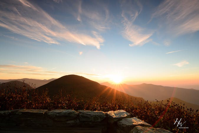
Waterrock Knob
A short hike to an overlook above the Waterrock Knob Visitor Center.
Moderate Hiking
- Distance
- 1.6 km
- Ascent
- 144 m
- Descent
- 144 m
An epic traverse through the Great Balsam Mountains and Middle Prong Wilderness.
Hiking Severe
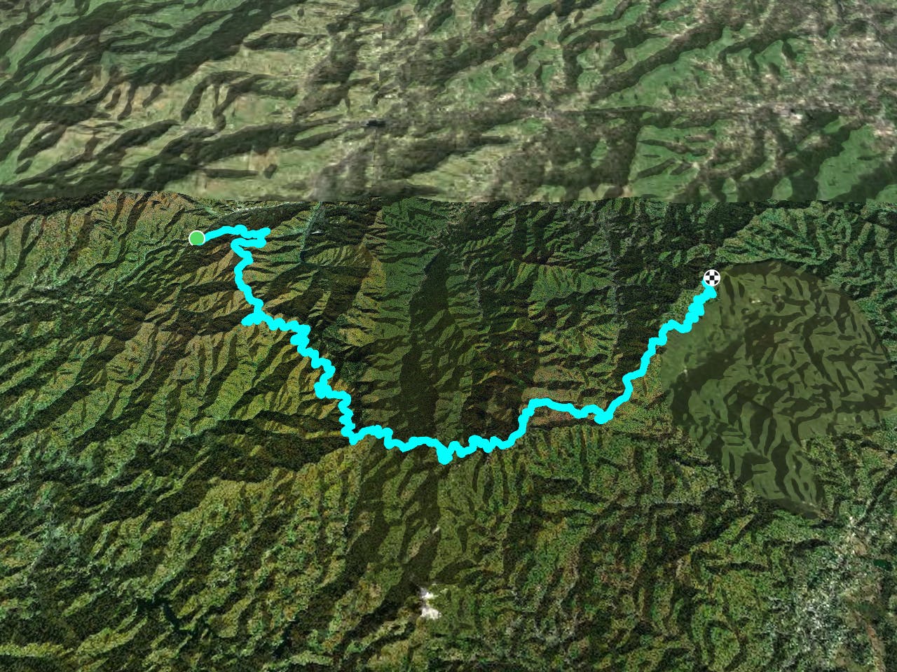
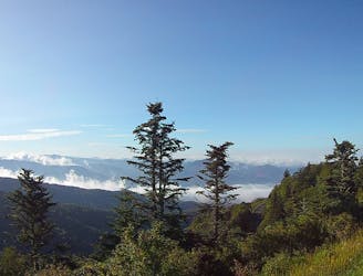
This portion of the Mountains to Sea Trail (MST) departs from Balsam Gap on an epic journey into the Great Balsam Range. As you ascend into the higher elevations, mixed deciduous forest gives way to southern Appalachian spruce-fir forest, flora typically confined to the northern latitudes.
The western terminus for this segment lies where the Blue Ridge Parkway passes over US-74. Though the BRP frequently closes in the winter, there are several options for parking here, even when the gates are closed. An NPS maintenance shop serves as a landmark for where to park.
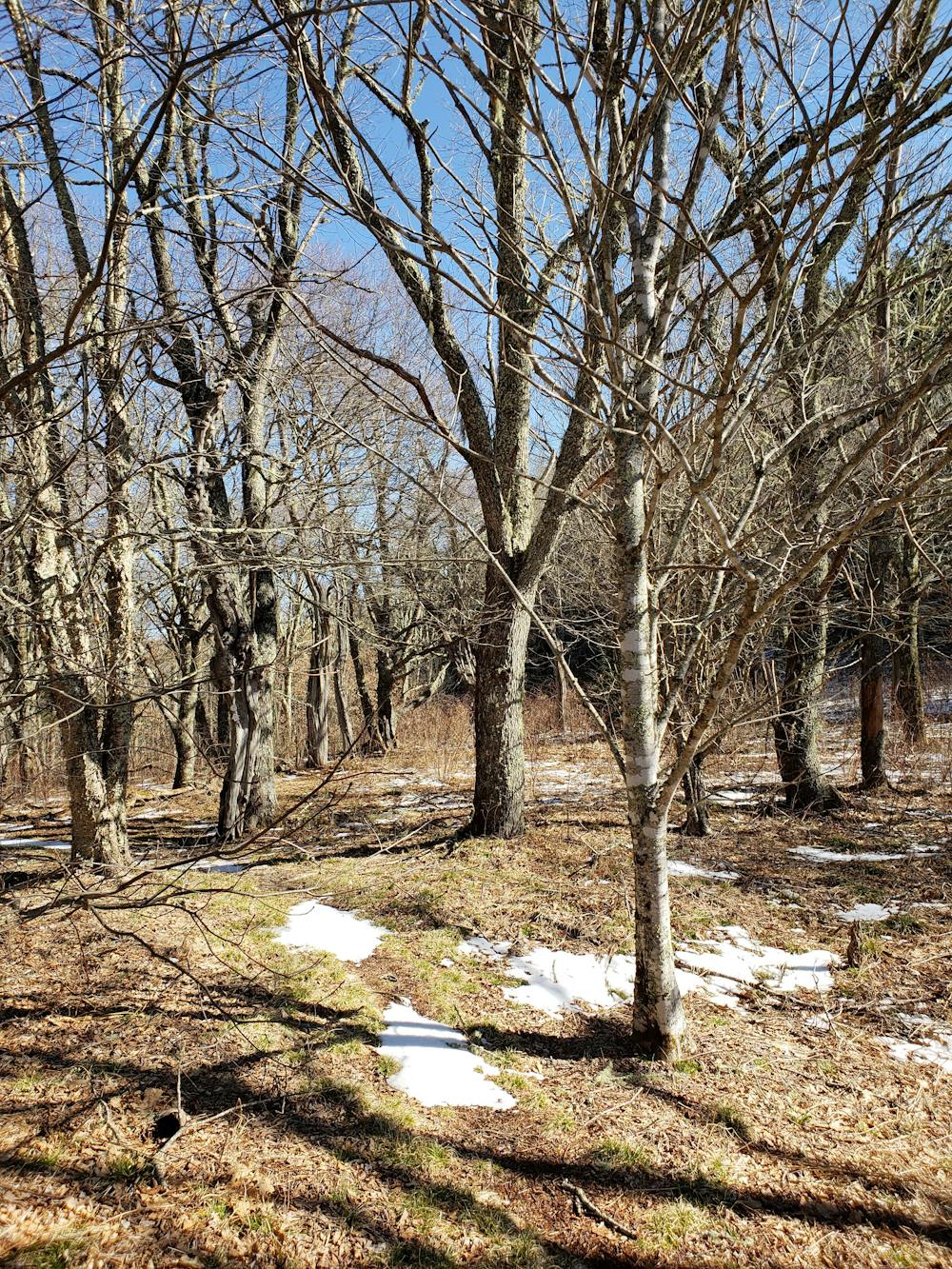
With a lot of elevation to gain, the trail begins with a surprisingly steady climb, often following former road grades as it parallels the parkway. After a few miles, the trail narrows into an off-camber bench cut as it follows the contours of ridges and unnamed peaks. The next several miles are lined with access points to various overlooks along the BRP.
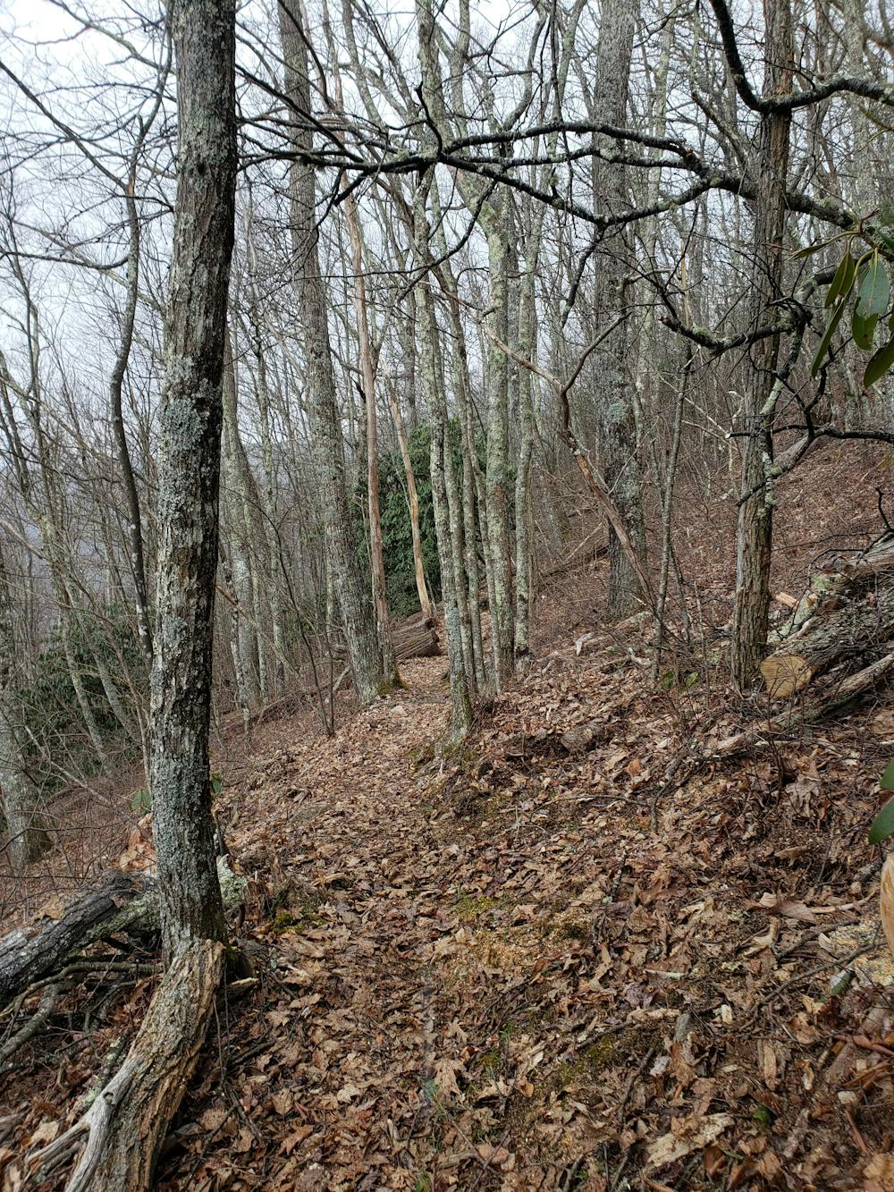
Hovering just under 6,000', the trail skirts around Rough Butt Bald and meets the parkway at milepost 426.5. A few strides in, keep right where the trail meets Haywood Gap Trail. Shortly after, the MST enters the Middle Prong Wilderness, meaning "...trails are neither signed nor blazed, and are maintained at a low level that results in their treads being difficult or impossible to see at times," according to the US Forest Service.
Originally logged in the early 1900s, this area became officially designated as a wilderness area in 1984. Scattered throughout this loop are remnants of the logging operations, including large cables that almost appear welded into the ground along the old railroad grades.
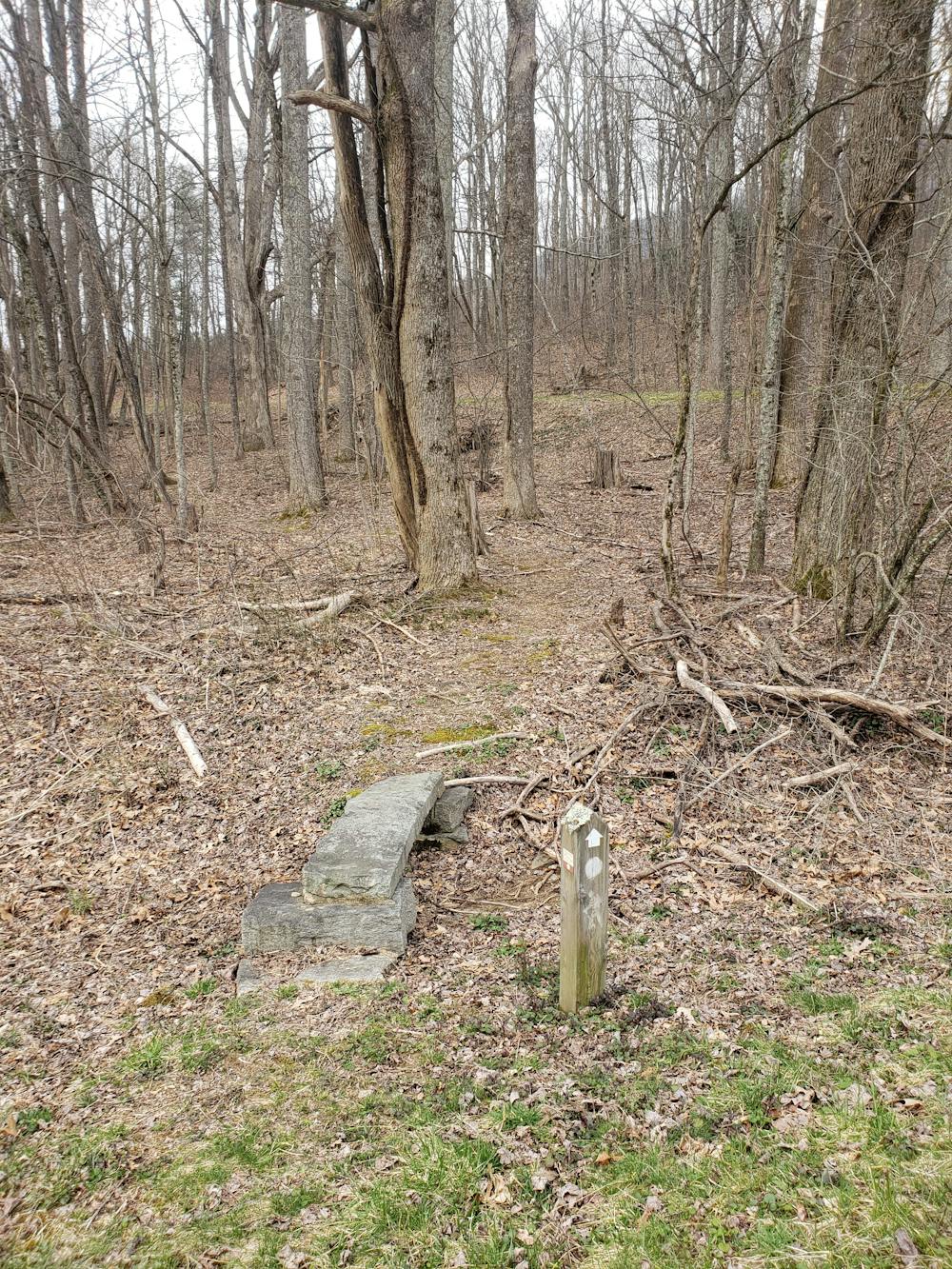
As the trail nears Mount Hardy, it passes two unmarked intersections. Buckeye Gap Trail comes first and is easy to navigate through. Shortly after, a four-way intersection is hard to distinguish from several side trails. To the right, you have the option to summit Mount Hardy above 6,000'. To the left, the Green Mountain Trail leads to a phenomenal vista atop Green Knob.
After spiraling around a high point along an old railroad grade, the trail reaches NC-215. This intersection is key for hikers, as it is the only good way to access the Great Balsam Range in the winter. Multiple camping opportunities lie along the trail before it reaches the road. You'll also find a primitive campground with space for a few cars a few hundred yards north on the road.
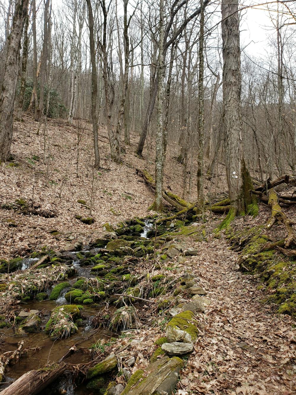
As the difficulty of the trail increases, the next few miles are possibly the most challenging along this stretch. Passing around rocky outcroppings, the MST crosses over streams and traverses through sections of gnarled roots and jagged rocks. A spur leads to the Devils Courthouse Trail, a popular day hiking destination with an overlook and accessible from the BRP.
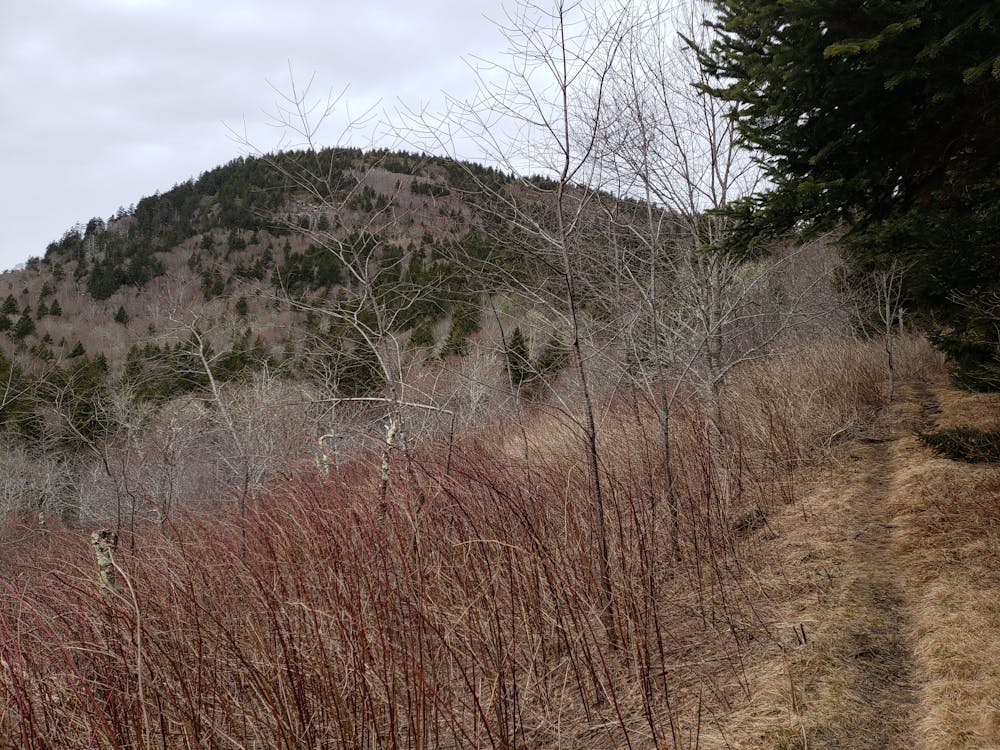
Shortly after, the trail briefly co-aligns with the 31-mile Art Loeb Trail until it reaches the Black Balsam Knob parking area. An excellent day hike follows the Art Loeb to the summits of Black Balsam and Tennent Mountains. Their bald summits sit above 6,000' and offer phenomenal 360-degree views. In the distance, you can even catch a glimpse of Shining Rock, a massive quartzite rock and the namesake of a Wilderness Area.
As the MST continues east, it skirts around Graveyard Fields, yet another day hiking destination. Several trails make perfect day hikes to beautiful waterfalls.
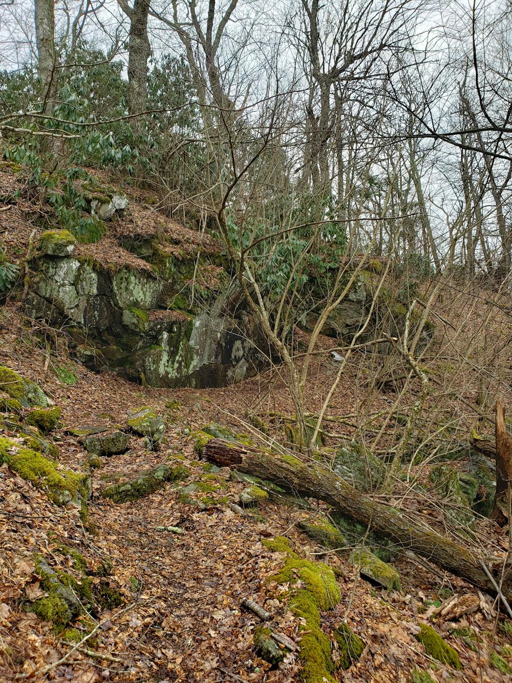
The final bit of this segment is lined with beautiful flora and fauna, and endless picture-worthy rock formations. Though the MST crosses US-276, only a small two-car pull off lies along the road before heading to the segment's eastern terminus at Pisgah Inn.
Sources: https://www.fs.usda.gov/recarea/nfsnc/recarea/?recid=48250 https://en.wikipedia.org/wiki/GreatBalsamMountains
Severe
Hiking challenging trails where simple scrambling, with the occasional use of the hands, is a distinct possibility. The trails are often filled with all manner of obstacles both small and large, and the hills are very steep. Obstacles and challenges are often unexpected and can be unpredictable.

Some trail sections have exposed ledges or steep ascents/descents where falling could cause serious injury.
Little chance of being seen or helped in case of an accident.
6.3 km away
A short hike to an overlook above the Waterrock Knob Visitor Center.
Moderate Hiking

7 routes · Hiking

10 routes · Hiking

16 routes · Hiking
8 routes · Hiking