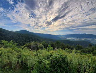
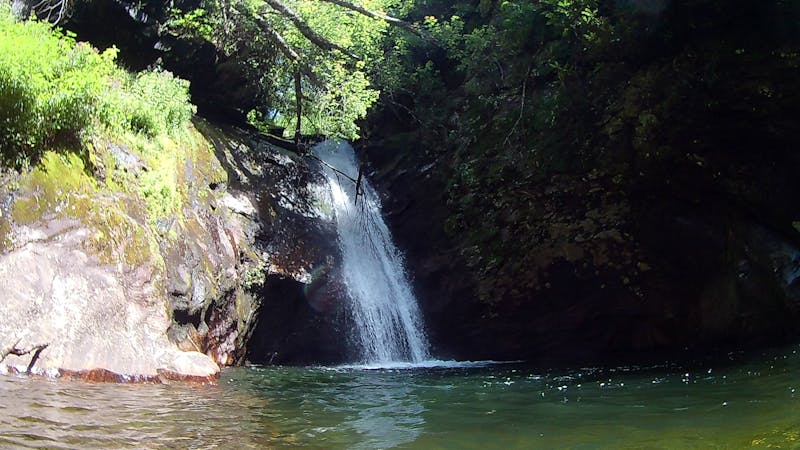
Davidson River -> Catheys Creek Gravel Loop
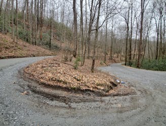
A classic gravel ride with numerous roadside waterfalls.
Severe Road Biking
- Distance
- 48 km
- Ascent
- 757 m
- Descent
- 757 m
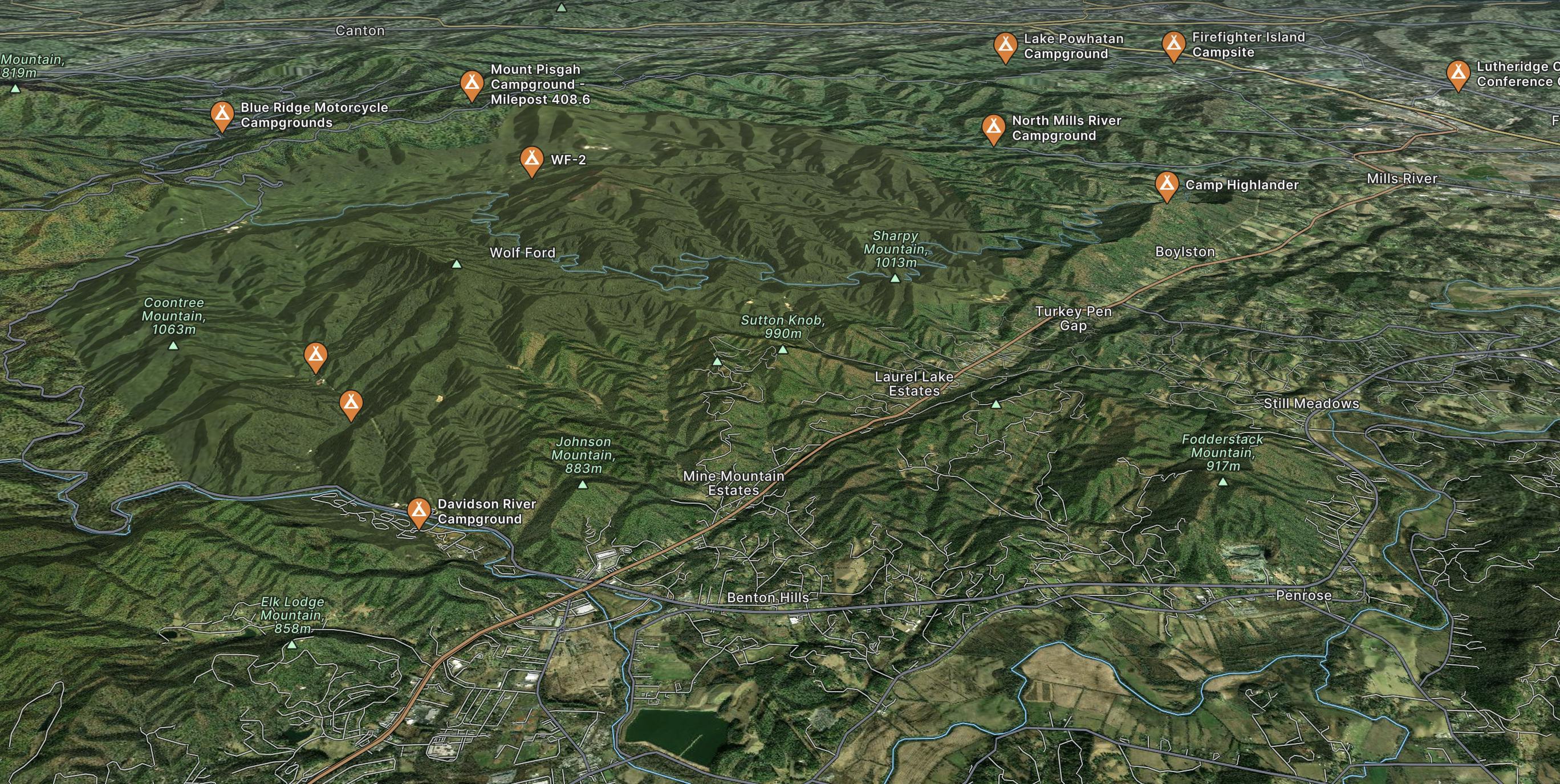
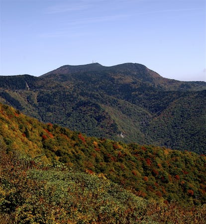
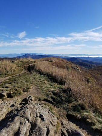
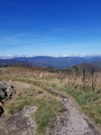
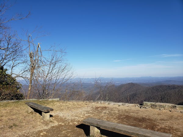
Explore Brevard with curated guides of the best hiking trails, mountain bike trails, trail running routes, and more. With over 55 3D trail maps in FATMAP, you can easily discover and navigate the best trails in Brevard.
No matter what your next adventure has in store, you can find a guide on FATMAP to help you plan your next epic trip.
Get a top trail recommendation in Brevard from one of our 22 guidebooks, or get inspired by the 55 local adventures uploaded by the FATMAP community. Start exploring now!
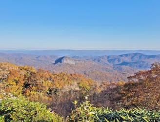
A classic gravel ride with numerous roadside waterfalls.
Severe Road Biking

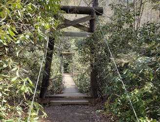
A gated, dead-end road perfect as a gravel grind or overnight bikepacking trip.
Easy Mountain Biking
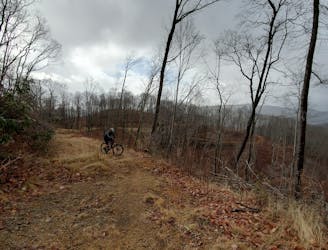
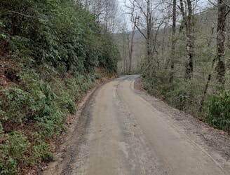
A rugged doubletrack loop with epic views and waterfalls.
Easy Mountain Biking
A mixed surface loop pairing all of Yellow Gap Road with a beautiful stretch of the Blue Ridge Parkway.
Severe Road Biking
A longer, more challenging alternative to the traditional Avery Creek/Headwaters Loop.
Easy Mountain Biking

A go-to gravel ride near Brevard and a great intro to Pisgah National Forest.
Easy Mountain Biking
A new-school flow trail loaded with berms and jumps.
Moderate Mountain Biking
A classic gravel ride with numerous roadside waterfalls.
Moderate Gravel Biking
7 routes · Hiking

7 routes · Hiking
16 routes · Hiking
6 routes · Hiking
9 routes · Hiking

10 routes · Hiking
12 routes · Trail Running

16 routes · Hiking