Davidson River -> Catheys Creek Gravel Loop
Brevard
A classic gravel ride with numerous roadside waterfalls.
Road Biking Severe
- Distance
- 48 km
- Ascent
- 757 m
- Descent
- 757 m
- Duration
- 2-3 hrs
- Low Point
- 641 m
- High Point
- 1 km
- Gradient
- 4˚

This half-gravel, half-pavement loop is a favorite among locals and is relatively easy compared to many of the gravel rides in the Pisgah Ranger District. It includes two optional side trips to popular waterfalls (written, not mapped), and passes another massive waterfall along Cathey's Creek Road.


- •
- •
- •
Description
As mapped, this loop begins at The Hub at the entrance to Pisgah National Forest. Some riders prefer to drive up US-276 and park at one of the many roadside pull-offs along the river. You could also begin at the Fish Hatchery, or access the loop from where you're staying in Brevard.
The ride begins with US-276, a paved state highway that can become rather busy during the spring and fall months. Flashing front and rear lights would be a wise choice to increase your visibility, since many drivers are from out of town may not be accustomed to seeing bicycles on the road.
After a few miles, you'll reach an intersection with Fish Hatchery Road, where you'll keep left. If you have yet to visit Looking Glass Falls, keep right and ride uphill for a few minutes to see the massive roadside waterfall before continuing on this loop.
As you head up Fish Hatchery Road, you'll pass the trailhead to Looking Glass Rock, a staple Pisgah hike to a beautiful overlook. Not long after, you'll pass the Fish Hatchery and NC Wildlife Education Center, where drinking water and restrooms are available seasonally.
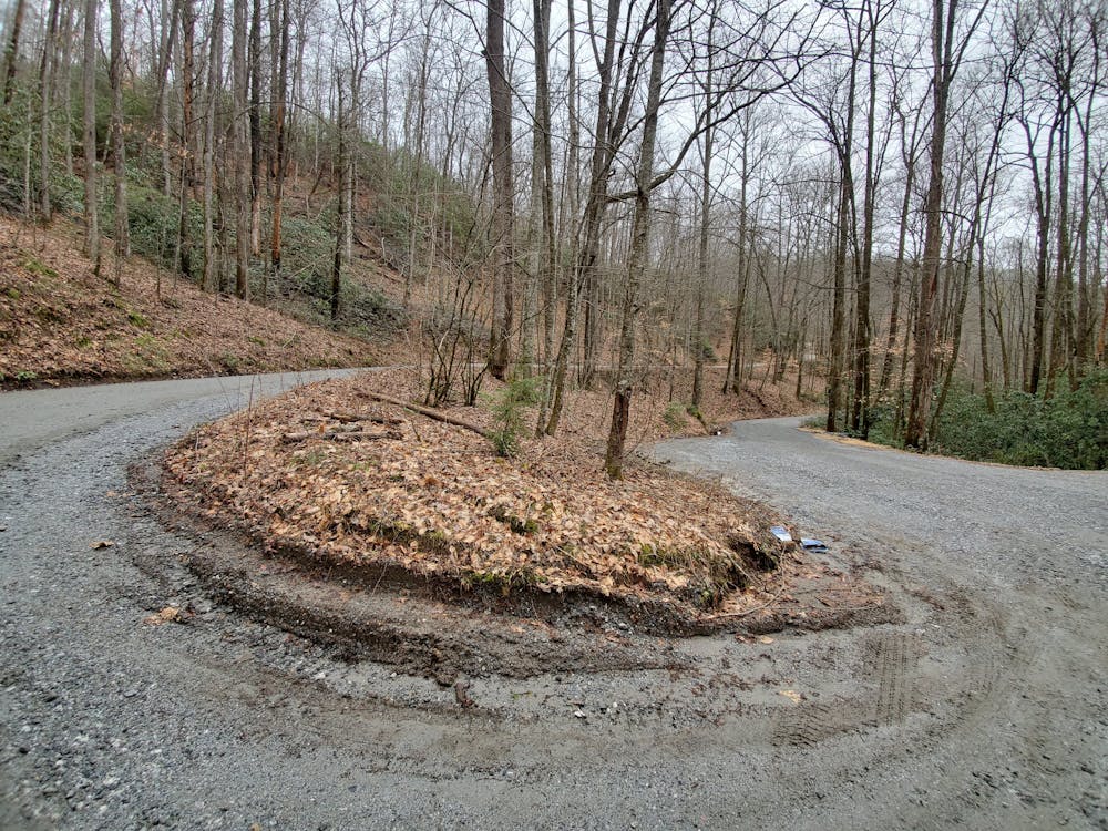
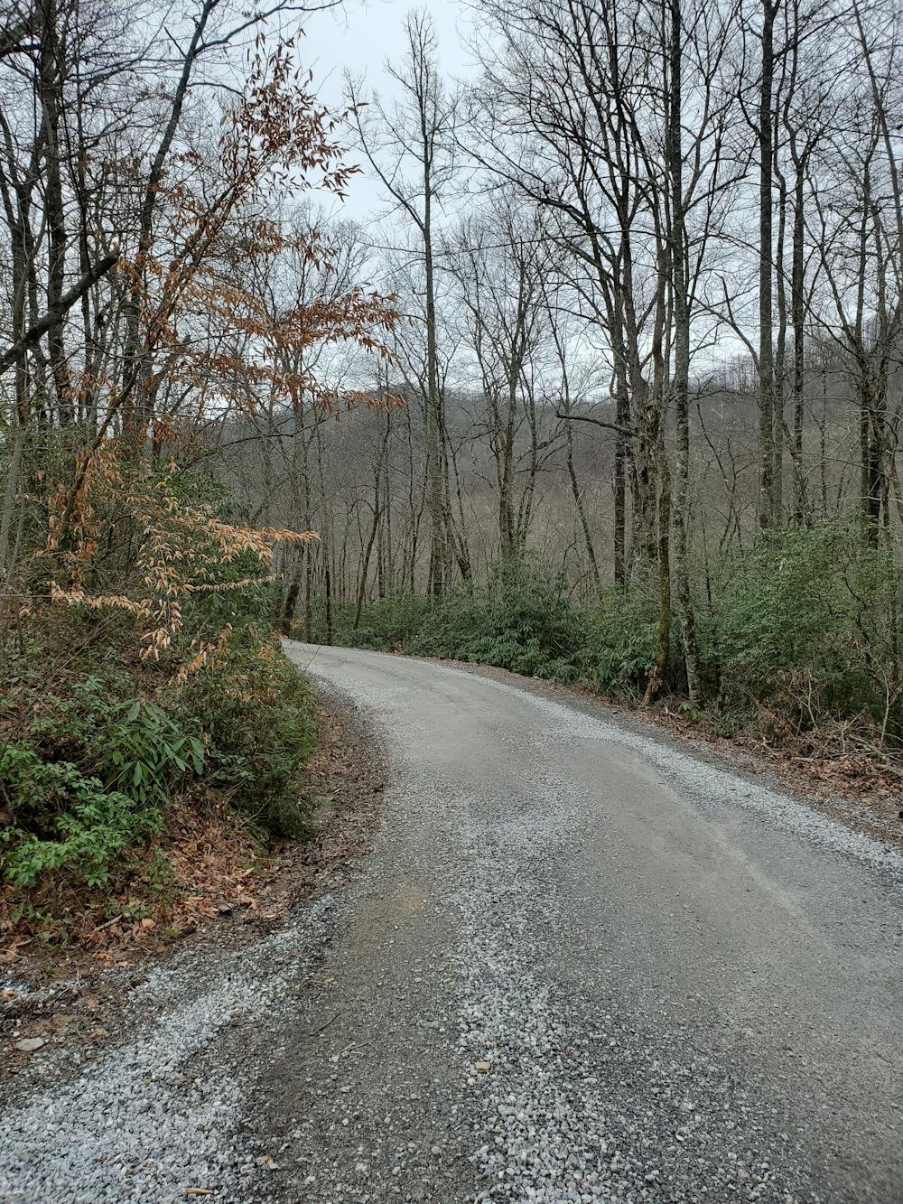
After a couple of miles of pavement, the road will turn to gravel. It's open year-round to vehicles and well-maintained. Along the way, you'll pass the trailhead to Daniel Ridge Loop, a popular hike, trail run, or mountain biking loop. If you turn right and follow the gravel road up for a few minutes, you'll reach another 150-foot waterfall off to the left.
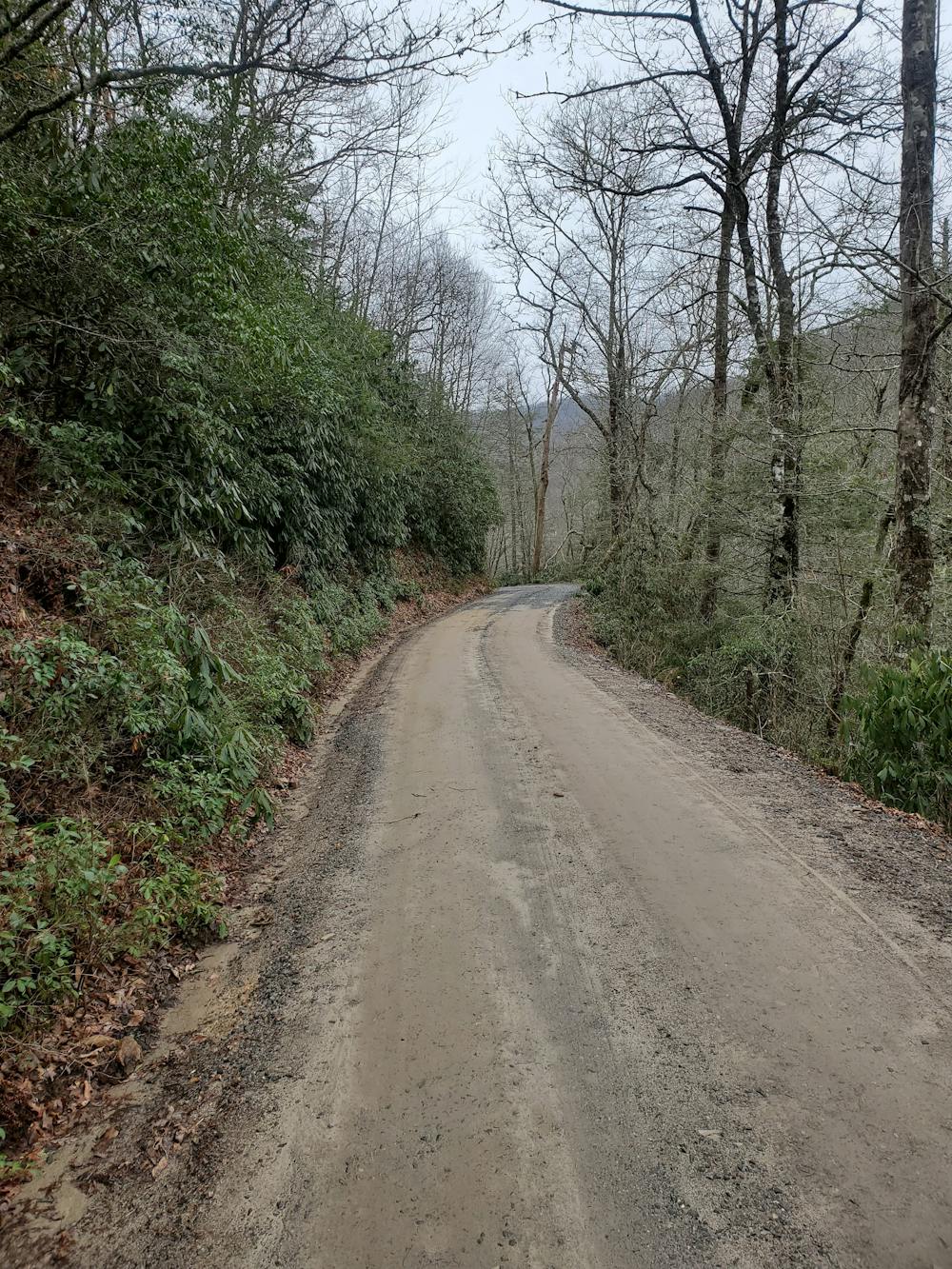
As you keep climbing, you'll pass a few roadside campsites before reaching Gloucester Gap. Take a left to continue onto Cathey's Creek Road—it's not marked well and can be confusing. After a few miles of riding, keep your eyes peeled for a massive roadside waterfall to your left—it's after the intersection with Low Gap Road. The entire waterfall can be seen from the road, or you could leave your bike and follow a trail down to the base of the falls.
Cathey's Creek ends at Rosman Highway (US-64), leaving you with a few miles of pavement to get back to The Hub. There are plenty of options to get there, but to avoid major roads, simply follow this route around downtown Brevard and to the city Greenway. Along the way, you'll pass Oskar Blues Brewery, then follow Ecusta Road back to The Hub.
Difficulty
Severe