1 m away
Squirrel Gap -> Turkey Pen

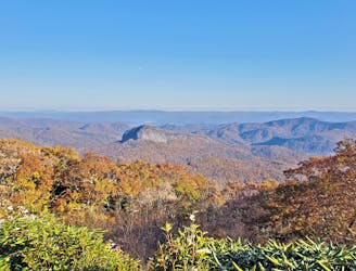
An epic loop featuring some of Pisgah's most remote trails.
Severe Mountain Biking
- Distance
- 41 km
- Ascent
- 1.6 km
- Descent
- 1.6 km
A new-school flow trail loaded with berms and jumps.
Mountain Biking Moderate

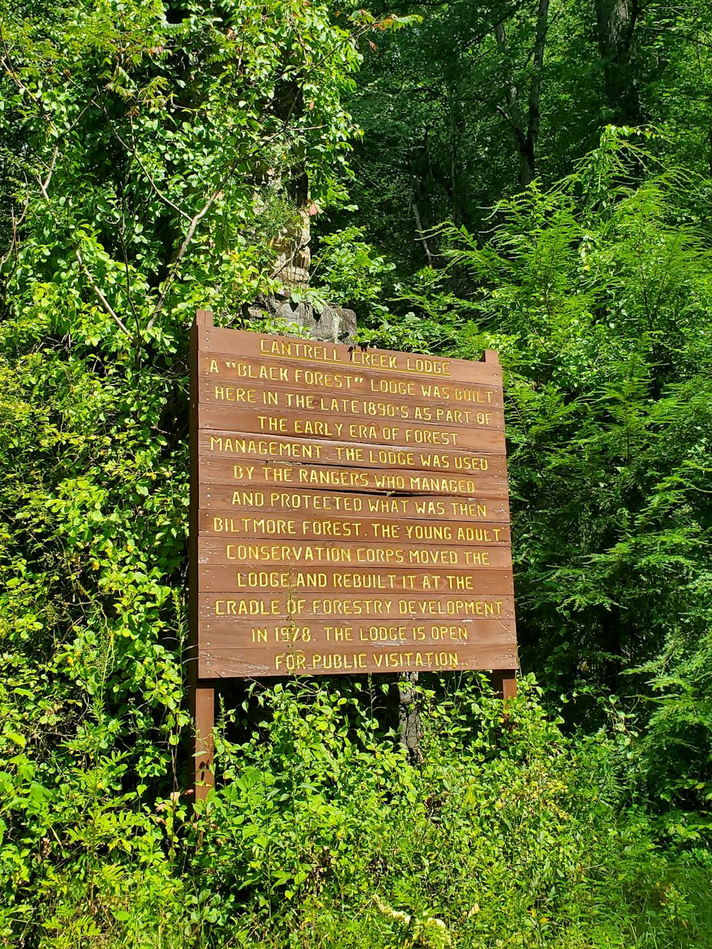
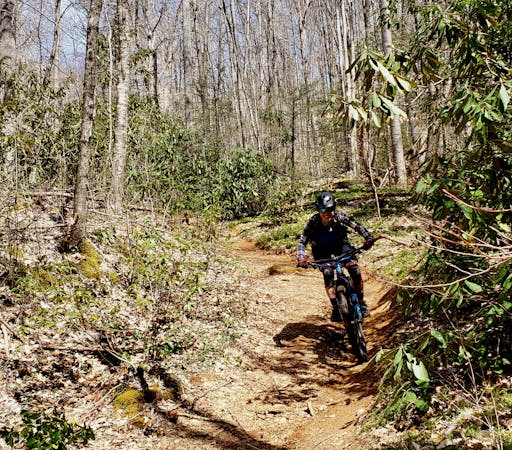
While the previous version of Cantrell Creek was a local favorite, the Forest Service approved a full reroute/rebuild in 2019 to protect a native brook trout and hellbender habitat. The result: a machine built flow trail with berms, jumps, deep in the heart of Pisgah. This loop could be considered moderately challenging by local standards, but may be significantly more difficult if you aren't familiar with mountain biking in Pisgah.
This loop begins at the Turkey Pen Trailhead, nearly halfway between Brevard and Mills River. The lot can fill up early during busy season, so get an early start to ensure you'll have a space to park. There are a few spaces for cars at the bottom of the road, but only on weekends or after school hours.
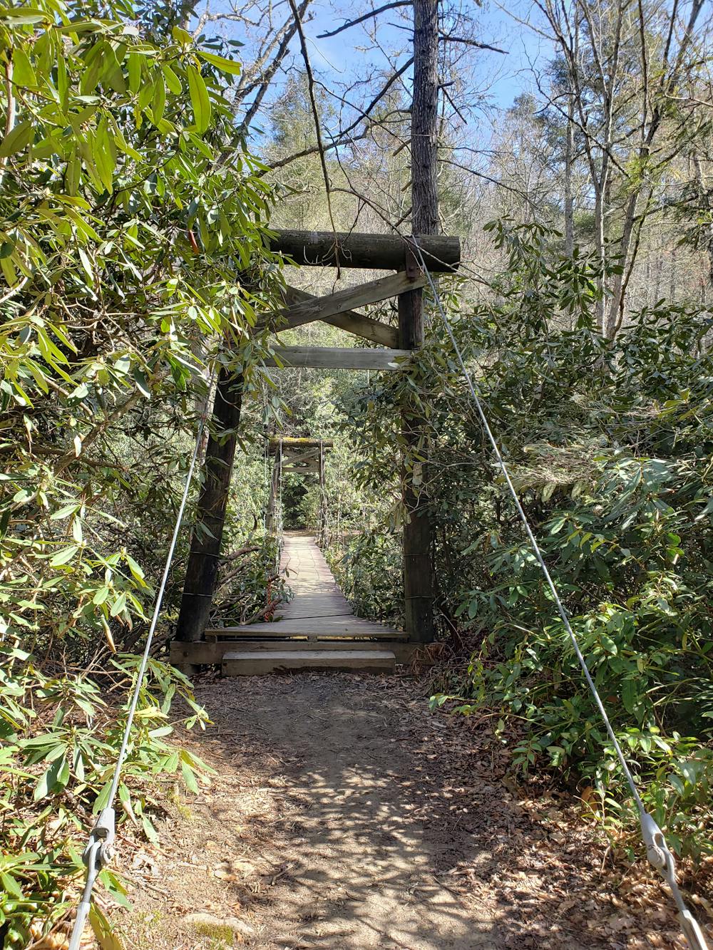
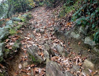
Starting from the parking lot, head left of the kiosk to begin with a short descent to the river with several water bars. This is a popular equestrian area, so be especially mindful of other trail users. At the bottom, cross the bridge and stay on South Mills River Trail.
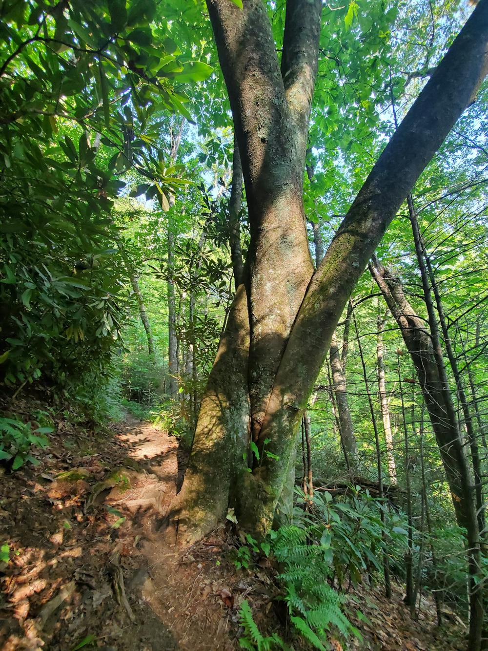
The most common way to ride this loop is to climb Mullinax to Squirrel Gap, which leads to the top of Cantrell. Squirrel Gap is an anomaly in Pisgah—rather than reclaimed logging or fire roads, it's hand-built singletrack, and some of the best around!
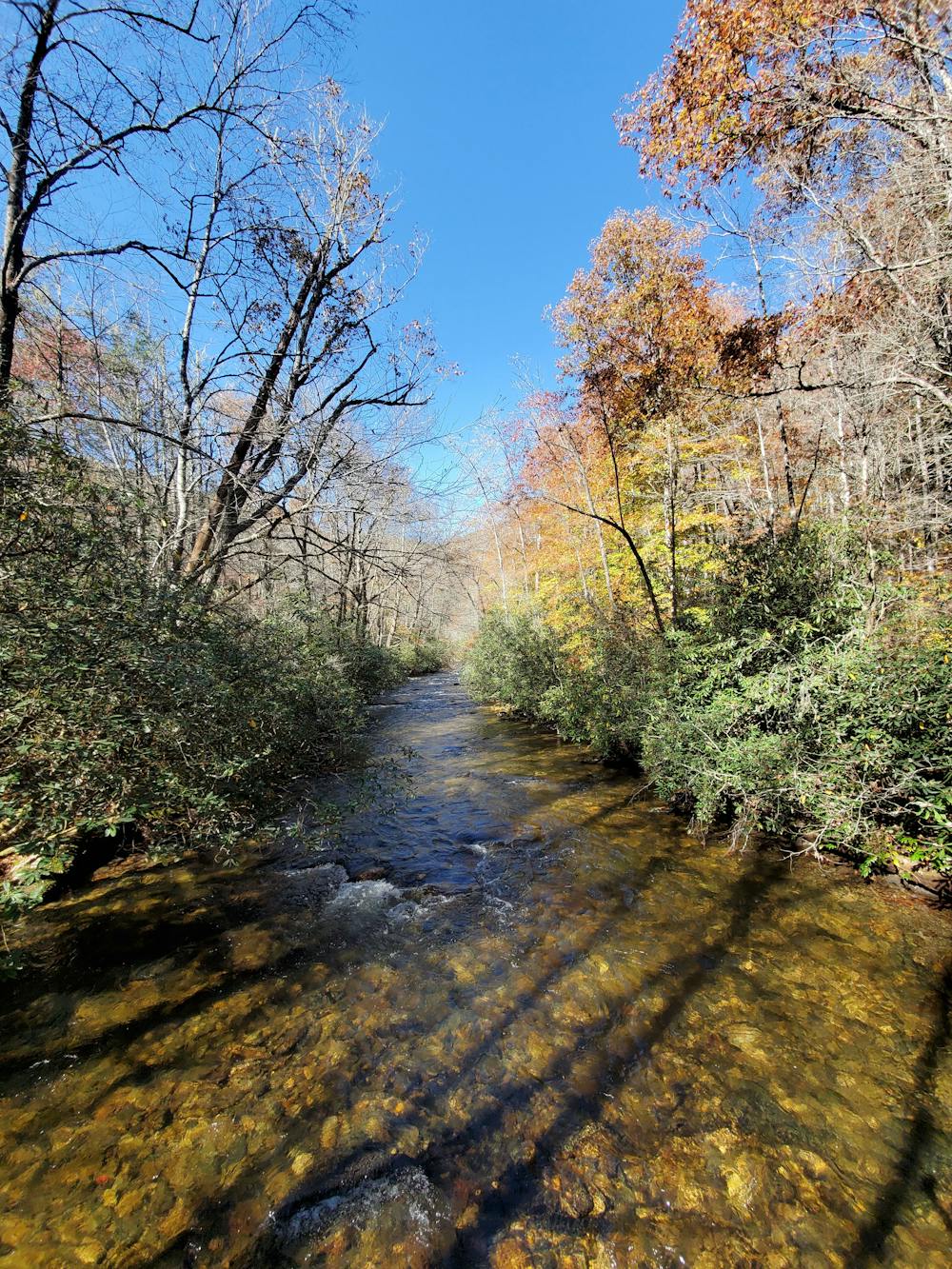
After passing Poundingmill (not bike friendly), continue up Squirrel to Cantrell. You will pass a couple of fresh mountain springs if you need any water, just be sure to filter it first.
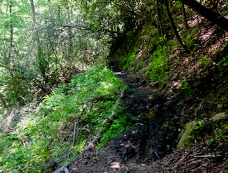
At the top of Cantrell, put your shock and fork in party mode and enjoy the fast and flowing descent that is quickly becoming a classic ride in Pisgah.
At the bottom, keep left and follow South Mills River Road back to the trailhead.
Moderate
Mostly stable trail tread with some variability, with unavoidable obstacles 8in/20cm tall or less. Other obstacles such as rock gullies and steep sections may exist. Ideal for lower intermediate riders.

The trail contains some obstacles such as outcroppings and rock which could cause injury.

Little chance of being seen or helped in case of an accident.
1 m away
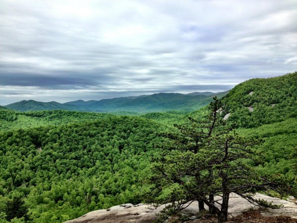
An epic loop featuring some of Pisgah's most remote trails.
Severe Mountain Biking
8.1 km away
Big climbs, big views, technical high-speed descents—Pisgah National Forest at its finest!
Extreme Mountain Biking
8.4 km away

Bennett Gap is renowned as one of the most technical—and most fun—descents in the Pisgah National Forest.
Extreme Mountain Biking
8.6 km away

A go-to gravel ride near Brevard and a great intro to Pisgah National Forest.
Easy Mountain Biking
8.6 km away

Classic Pisgah at an intermediate level.
Difficult Mountain Biking
8.6 km away
A longer, more challenging alternative to the traditional Avery Creek/Headwaters Loop.
Easy Mountain Biking
8.7 km away

The Black Mountain Trail defines mountain biking in Pisgah National Forest—gnarly, steep, and tons of fun!
Severe Mountain Biking
8.7 km away
A fast, chundery descent without the death-defying character of most Pisgah trails.
Severe Mountain Biking
9.3 km away

A gated, dead-end road perfect as a gravel grind or overnight bikepacking trip.
Easy Mountain Biking
9 routes · Mountain Biking
8 routes · Mountain Biking

24 routes · Mountain Biking