7.8 km away
Avery Creek Loop
A fast, chundery descent without the death-defying character of most Pisgah trails.
Severe Mountain Biking
- Distance
- 11 km
- Ascent
- 498 m
- Descent
- 498 m
Big climbs, big views, technical high-speed descents—Pisgah National Forest at its finest!
Mountain Biking Extreme

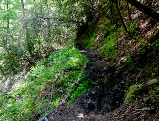
The Laurel Mountain Trail runs through a remote section of the Pisgah National Forest that is far enough off the beaten path that seemingly few mountain bikers make the effort to ride it. Their loss is your gain! Consider yourself informed that Laurel Mountain is one of the very best mountain bike rides in Pisgah, if you can handle brutal climbs and an endless sea of boulders during a double black diamond descent.
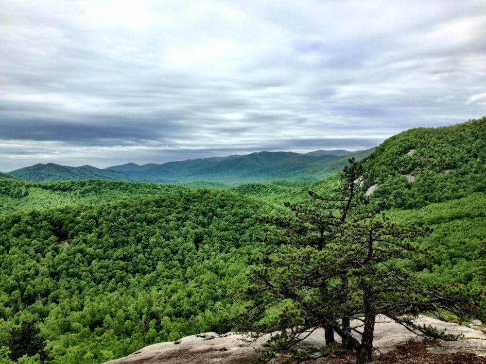
The route shown here also incorporates Pilot Cove and Slate Rock early on. While you can choose to bypass this add-on for an easier ride, Pilot Cove and Slate Rock create a top-notch short little loop in and of themselves. Not only that, Slate Rock offers up one of the best views in Pisgah National Forest from a bike legal trail. If you have the legs, I highly recommend working it into your Laurel Mountain loop.
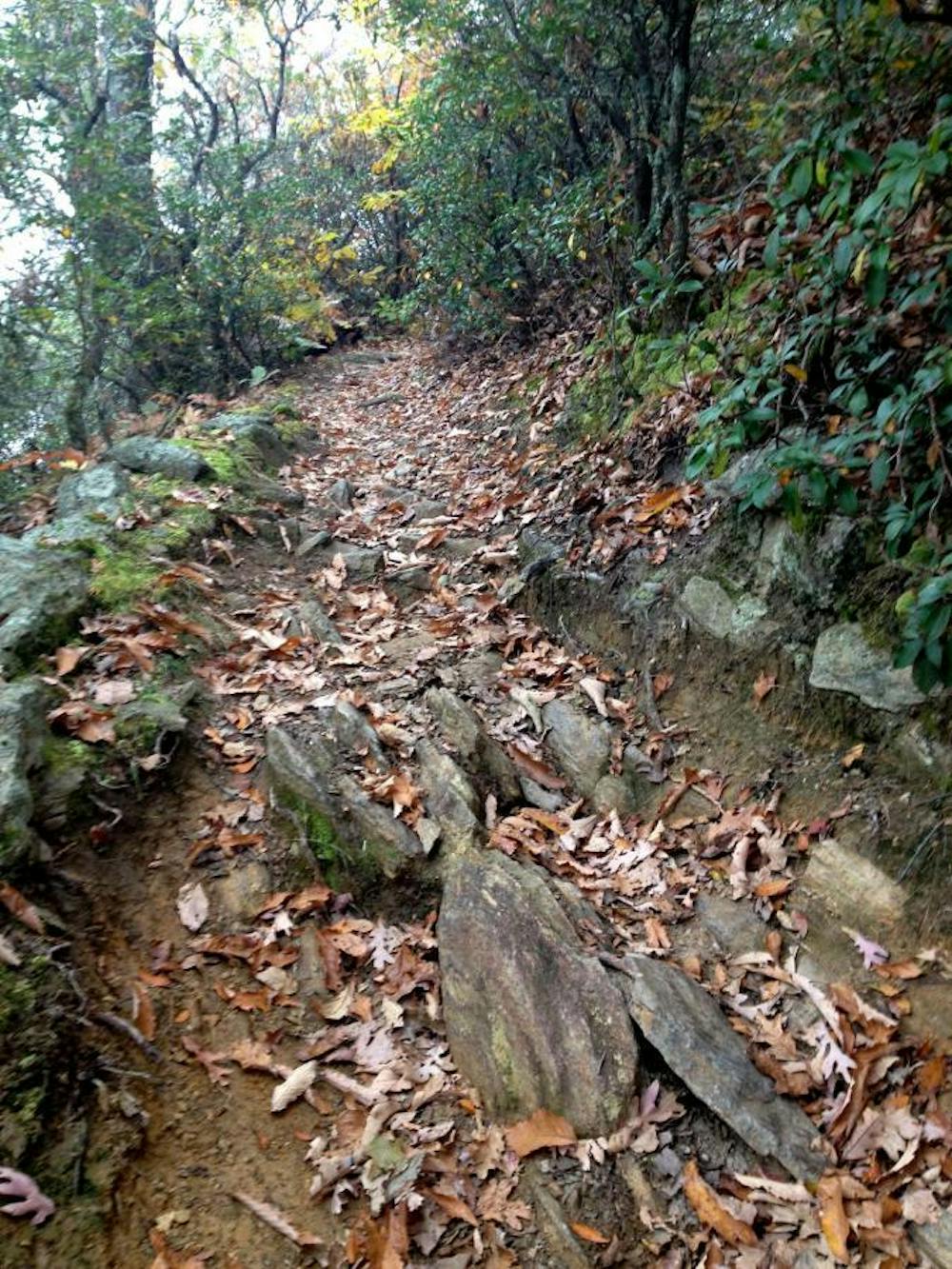
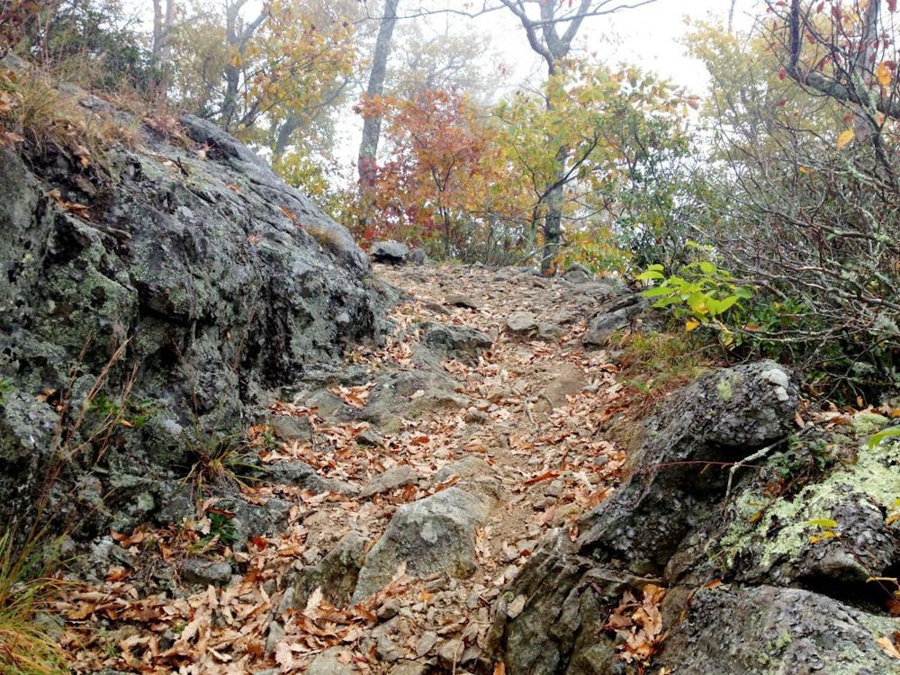
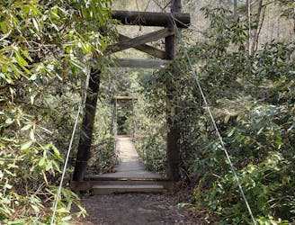
Once the dirt road climb is finished, the Laurel Mountain trail continues to climb along the ridgeline, with some sections of hike-a-bike.
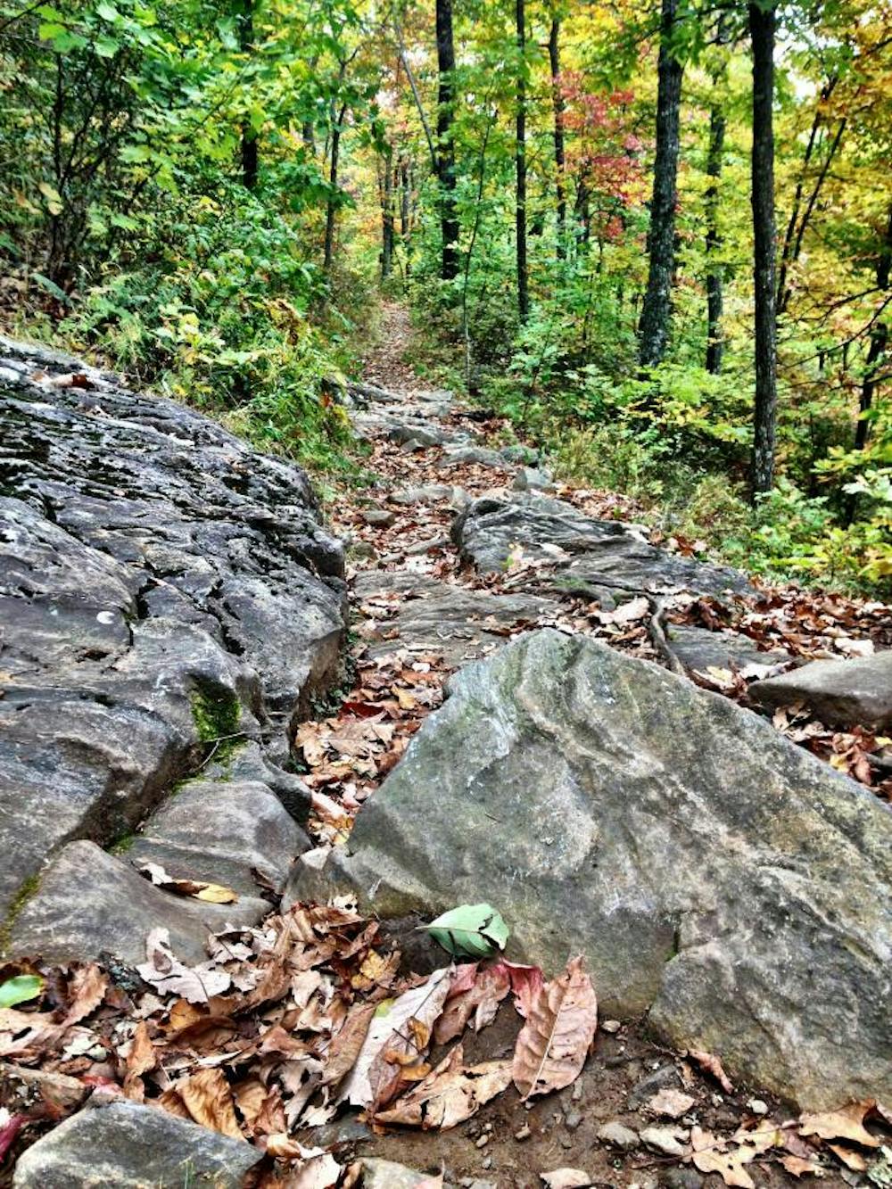
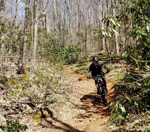
Once to the top of Pilot Rock, it's all gravy! Pilot Rock drops fast and furious through a sea of rock gardens, babyheads, boulders, and boulder-filled switchbacks. Pilot Rock is one of the gnarliest trails you'll find outside of a dedicated downhill mountain bike park. If you enjoy that sort of thing, the endless chunder and technical challenge will keep you engaged all the way down this ripping descent! Do take a moment to pause every once and a while, because the views from some sections of this trail are camera-worthy in their own right.
Extreme
Very steep, difficult, narrow singletrack with widely variable and unpredictable trail conditions. Unavoidable obstacles could be 15in/38cm tall or greater, and unavoidable obstacles with serious consequences are likely to be present. Obstacles could include big rocks, difficult root sections, drops, jumps, sharp switchbacks, and more. Ideal for expert-level riders.

Some trail sections are extremely exposed where falling will almost certainly result in serious injury or death.
In the high mountains or remote conditions, all individuals must be completely autonomous in every situation.
7.8 km away
A fast, chundery descent without the death-defying character of most Pisgah trails.
Severe Mountain Biking
7.9 km away

Classic Pisgah at an intermediate level.
Difficult Mountain Biking
8.1 km away
A new-school flow trail loaded with berms and jumps.
Moderate Mountain Biking
8.1 km away

An epic loop featuring some of Pisgah's most remote trails.
Severe Mountain Biking
8.6 km away

A gated, dead-end road perfect as a gravel grind or overnight bikepacking trip.
Easy Mountain Biking
8.8 km away

Bennett Gap is renowned as one of the most technical—and most fun—descents in the Pisgah National Forest.
Extreme Mountain Biking

9 routes · Mountain Biking
8 routes · Mountain Biking