1.4 km away
Bennett Gap Loop

Bennett Gap is renowned as one of the most technical—and most fun—descents in the Pisgah National Forest.
Extreme Mountain Biking
- Distance
- 10 km
- Ascent
- 430 m
- Descent
- 430 m
A fast, chundery descent without the death-defying character of most Pisgah trails.
Mountain Biking Severe

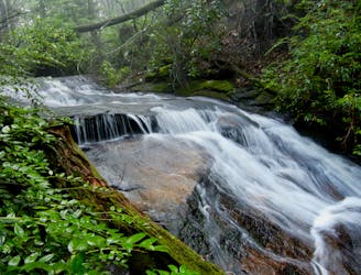
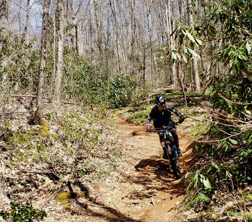
Mountain biking in the Pisgah National Forest will challenge you in every way imaginable. Brutally-steep climbs lead to even steeper descents, with massive drops and endless rock gardens. In fact, some of the Pisgah's trails promise bodily injury and possible death if you make an error. Avery Creek, in comparison, is a much more approachable trail.
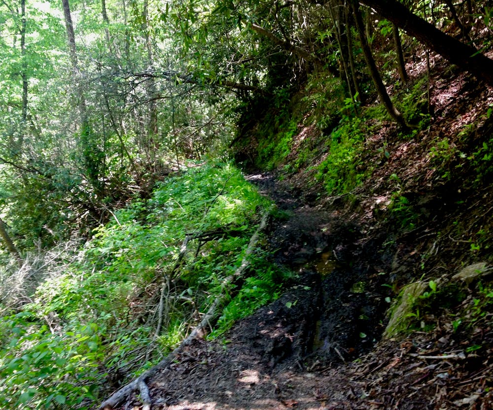
Now is this route easy? By no means. After a long gravel road climb, riders will be faced by an absurd hike-a-bike to gain the top of Buckwheat Knob. But once on top, the rip down Avery Creek is absolute gold.
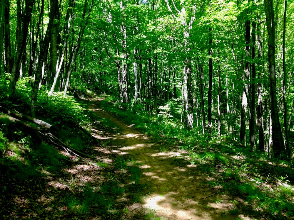
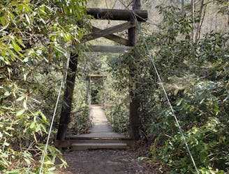
Yes, Avery Creek is still rocky, technical, washed out, and filled with roots and stream crossings. But then, the gnar gives way to high speed flow in sections. Even the technical sections aren't of the "I'm definitely going to die" variety.
Avery Creek is simply an enjoyable enduro mountain bike ride, and it can provide a great stepping stone as intermediate riders work up to the most difficult routes that Pisgah has in store.
Severe
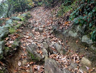
Widely variable, narrow trail tread with steeper grades and unavoidable obstacles of 15in/38cm tall or less. Obstacles may include unavoidable bridges 24in/61cm wide or less, large rocks, gravel, difficult root sections, and more. Ideal for advanced-level riders.

The trail contains some obstacles such as outcroppings and rock which could cause injury.

Little chance of being seen or helped in case of an accident.
1.4 km away
Bennett Gap is renowned as one of the most technical—and most fun—descents in the Pisgah National Forest.
Extreme Mountain Biking
4.3 km away

The Black Mountain Trail defines mountain biking in Pisgah National Forest—gnarly, steep, and tons of fun!
Severe Mountain Biking
6 km away

A go-to gravel ride near Brevard and a great intro to Pisgah National Forest.
Easy Mountain Biking
6 km away
A longer, more challenging alternative to the traditional Avery Creek/Headwaters Loop.
Easy Mountain Biking
7.8 km away
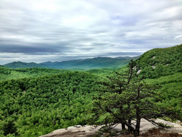
Big climbs, big views, technical high-speed descents—Pisgah National Forest at its finest!
Extreme Mountain Biking
8 km away
Widely regarded as the most technical, challenging trail in Pisgah National Forest.
Extreme Mountain Biking
8.3 km away

Flowy but steep singletrack rideable from downtown Brevard.
Difficult Mountain Biking
8.7 km away
A new-school flow trail loaded with berms and jumps.
Moderate Mountain Biking
8.7 km away

An epic loop featuring some of Pisgah's most remote trails.
Severe Mountain Biking
9 routes · Mountain Biking
3 routes · Mountain Biking
8 routes · Mountain Biking

24 routes · Mountain Biking