4.4 km away
Smokemont Loop
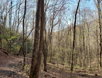
A classic hike from the Smokemont Campground.
Moderate Hiking
- Distance
- 10 km
- Ascent
- 459 m
- Descent
- 459 m
A segment of the MST known for its views near Waterrock Knob.
Hiking Difficult

This portion of the Mountains to Sea Trail (MST) connects the Great Smoky Mountains National Park to Balsam Gap. Skirting around the Eastern Cherokee Reservation, this segment contains the only stretch of road in the western half of the state, a portion typically only traveled by thru-hikers.
Beginning at the National Park Visitor Center, the MST briefly follow the Oconaluftee River Trail to the Blue Ridge Parkway. Following the road, two short spurs take the trail around tunnels, rather than through them.
At Big Witch Gap, the trail transitions to a dirt road as it makes it way to the Mile High Campground near Heintooga Road. Open May to October, this area is popular among travelers, offering short hikes to nearby scenic overlooks.
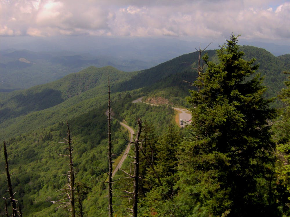
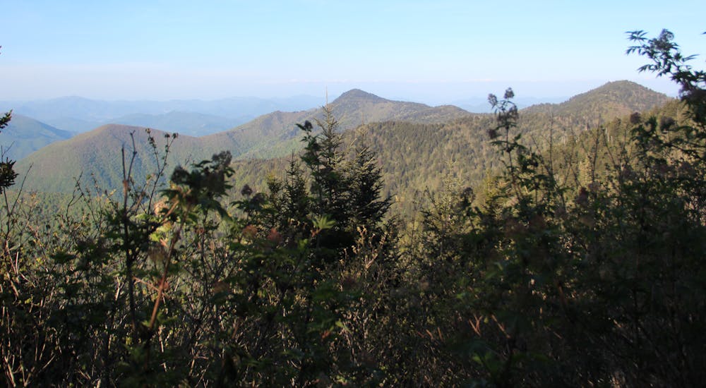
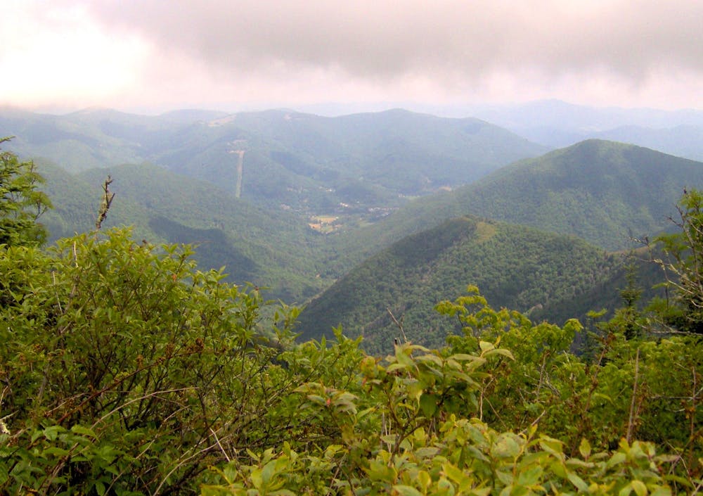
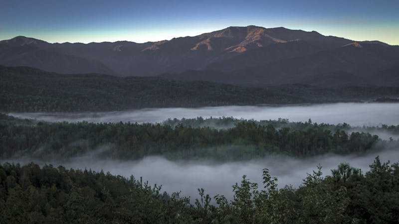
The MST transitions to singletrack as it makes its way to Soco Gap, where the Blue Ridge Parkway passes over US-19. A rugged climb lies ahead as the trail ascends to the high summit of Waterrock Knob. Along the way, the trail follows elevation contours as it winds into a rare southern Appalachian spruce-fir forest. A large parking area and visitors center lies just below the summit and offers an excellent short hike a viewpoint atop the 6,250' summit.
Follow the white-dot blazes from Waterrock Knob as the MST begins to descend, frequently alternating between trail, road, and dirt roads. Mountain communities and private property border the route as it makes its way to Balsam Gap at US-74. Cross the bridge and look for an NPS maintenance shop and adjacent parking area. The next segment begins near the railroad track as the trail makes its way to the Great Balsam Mountains.
Difficult
Hiking trails where obstacles such as rocks or roots are prevalent. Some obstacles can require care to step over or around. At times, the trail can be worn and eroded. The grade of the trail is generally quite steep, and can often lead to strenuous hiking.

The trail contains some obstacles such as outcroppings and rock which could cause injury.
Away from help but easily accessed.
4.4 km away
A classic hike from the Smokemont Campground.
Moderate Hiking
9.3 km away
An epic 2 - 3 night overnight hike showcasing some of the best mountaintop views in the Smokies!
Severe Hiking
10 routes · Hiking

7 routes · Hiking

16 routes · Hiking
4 routes · Hiking