5.8 km away
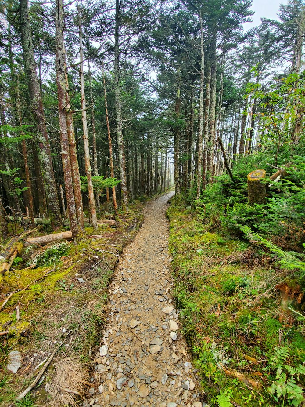
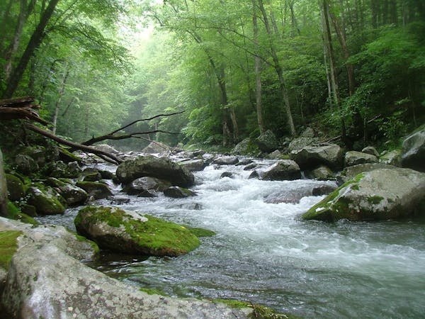
Smokemont Loop
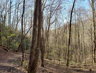
A classic hike from the Smokemont Campground.
Moderate Hiking
- Distance
- 10 km
- Ascent
- 459 m
- Descent
- 459 m
An epic 2 - 3 night overnight hike showcasing some of the best mountaintop views in the Smokies!
Hiking Severe
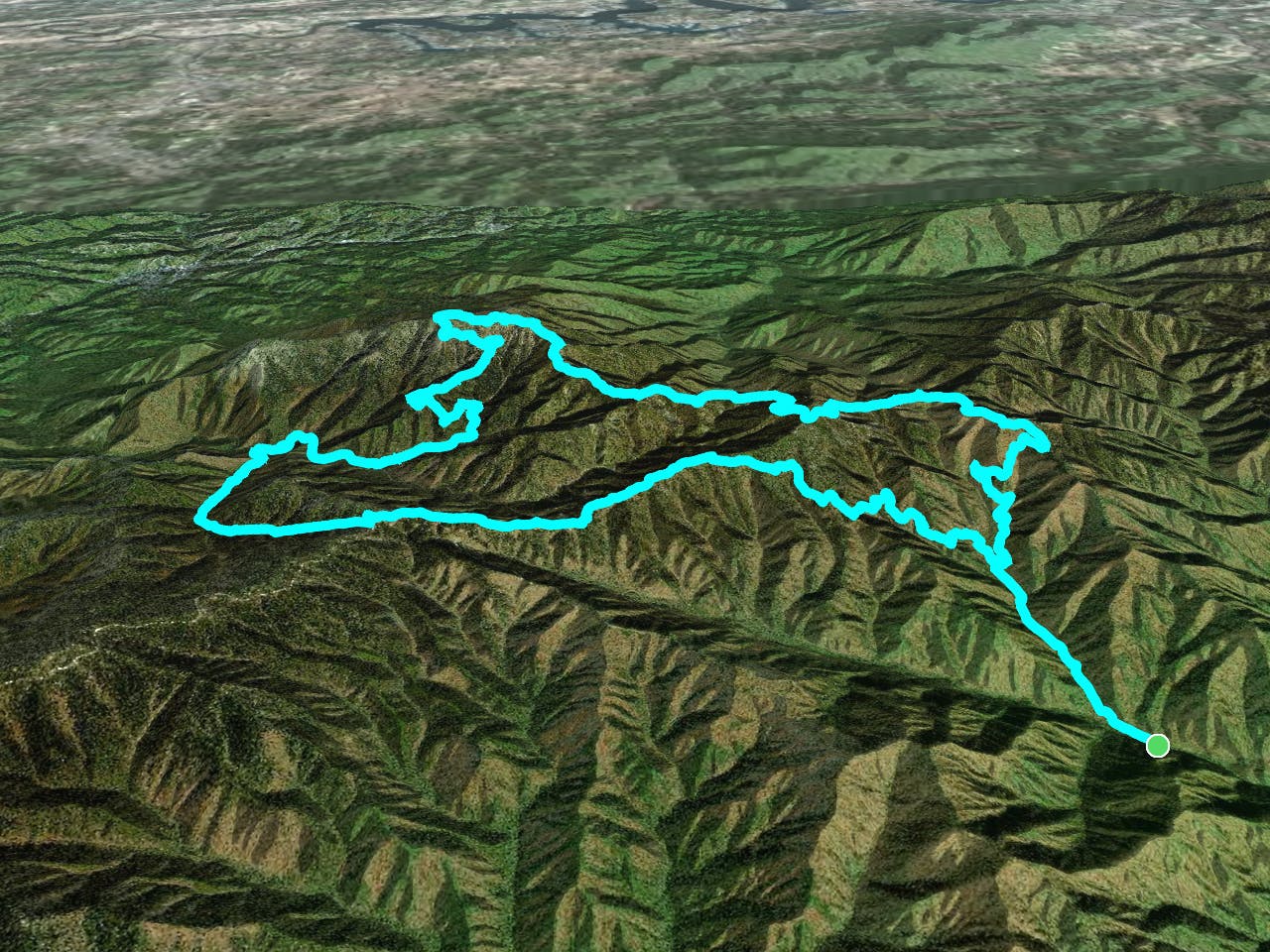
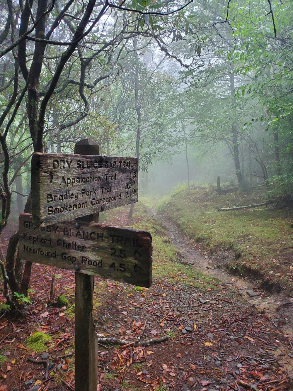
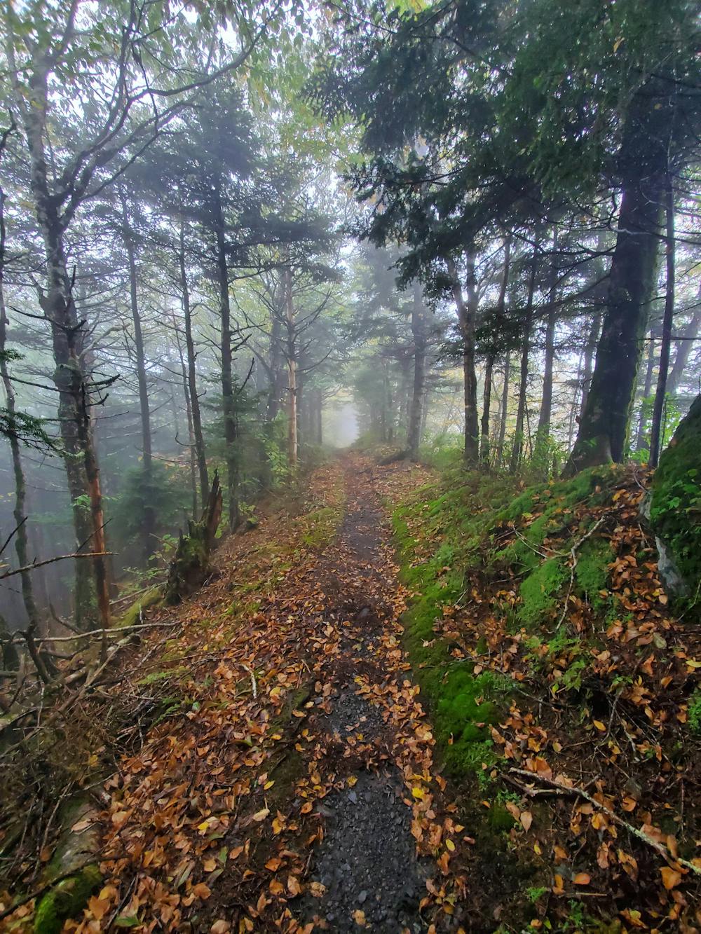
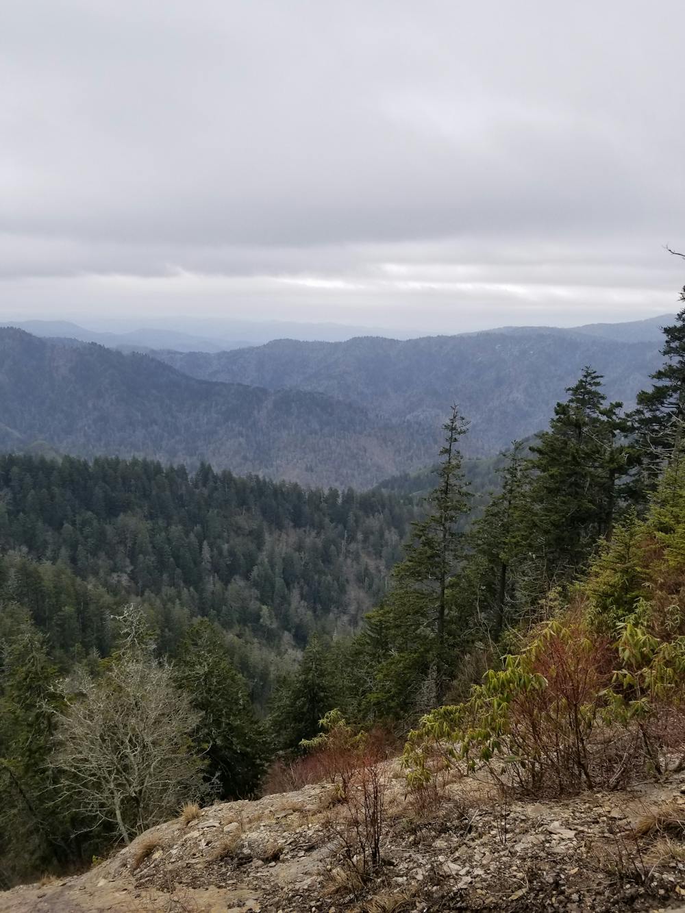
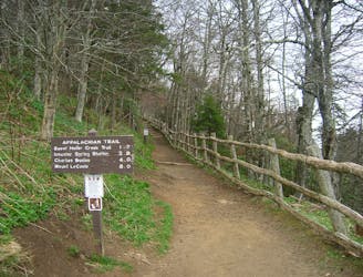
This 2 or 3 night hike is one of the most epic endeavors you can attempt in the Smokies - other than thru-hiking the infamous Appalachian Trail, of course. It links the Kephart Prong Shelter to the Appalachian Trail, Newfound Gap, Chimney Tops (optional), Alum Cave, Mount LeConte, Boulevard Trail, then completes the circuit with a stop at Charlies Bunion.
There are several ways to start this hike. As mapped, you'll begin at the Kephart Prong Trailhead, which has a shelter roughly 2 miles in. It's a great option to stage your first night and make sure your gear is dialed.
Alternatively, you could park at Newfound Gap, or the Alum Cave Trailhead. Both of those options cut about 5 miles off the route.
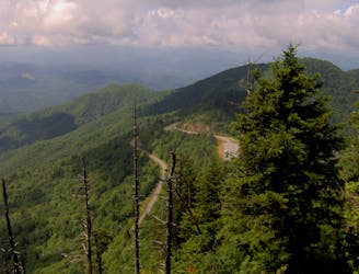
After leaving Kephart Prong Shelter, you'll make your way to the Appalachian Trail, then head south through Newfound Gap. Veer right onto Road Prong Trail, an old two-track that formerly served as an access road to Clingman's Dome. Near the bottom, you have the option to spur over to Chimney Tops, or you could save that short overlook hike for another day.
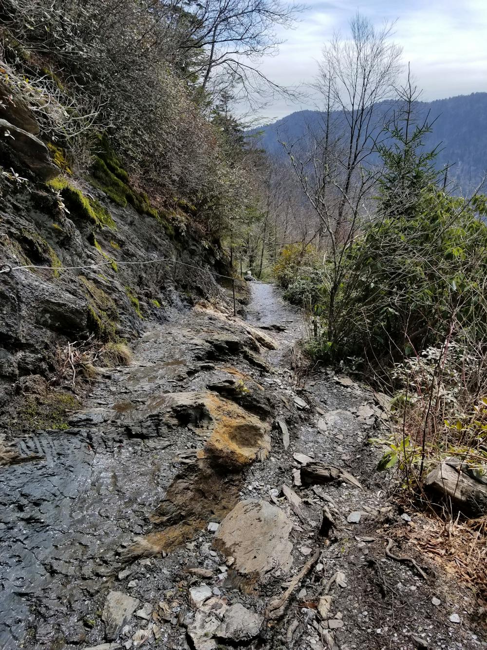
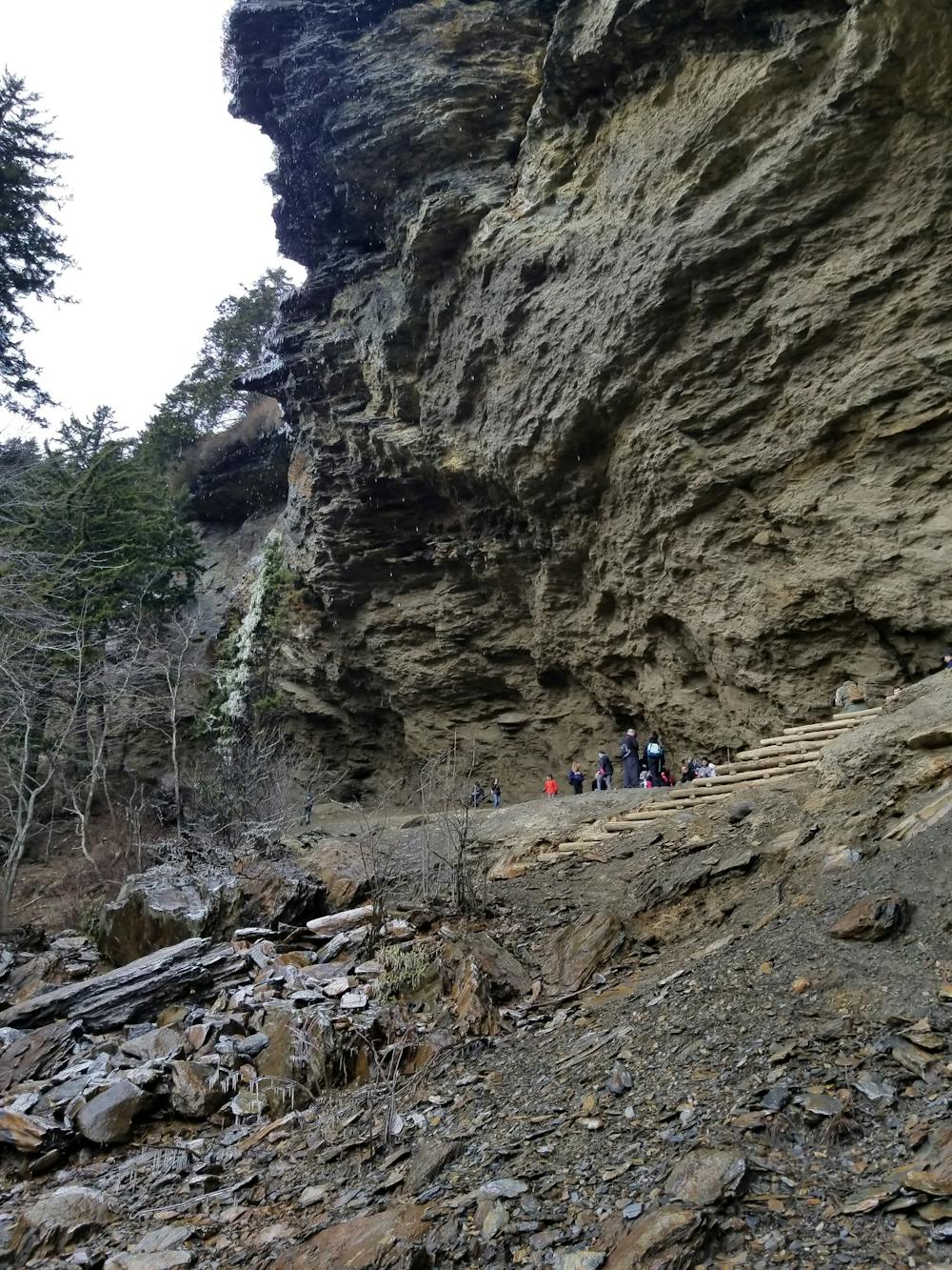
When you reach Newfound Gap Road, keep right for a 2-mile road walk to the Alum Cave Trailhead. The lower half of the trail tends to be busier than the upper half, so this will be the most trafficked portion of the loop.
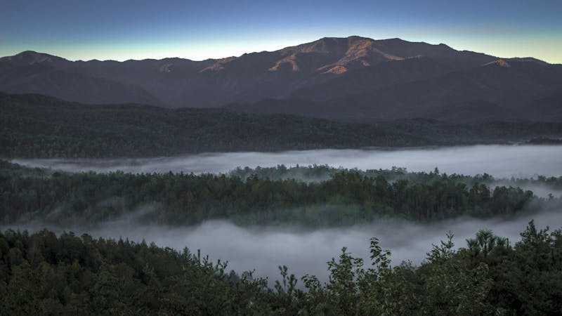
Spend night two at Mount LeConte, the 3rd-highest peak in the Smokies. Reservations are required, so check their website for the most up-to-date booking information. There are few spots available along the Boulevard Trail, so you may be able to find a backcountry site that isn't already occupied.
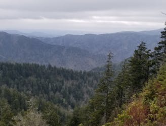
Rounding out your hike, head north on the Appalachian Trail and pay visit to Charlies Bunion - an epic cliffside overlook and popular destination for day hikers from Newfound Gap.
Other than the Boulevard Trail, there is abundant water along this route, though it should always be treated or filtered first. The lodge at Mount LeConte also offers food and beverage and accepts both cash and credit cards. Surprisingly enough, you will likely have cell reception from the top.
Severe
Hiking challenging trails where simple scrambling, with the occasional use of the hands, is a distinct possibility. The trails are often filled with all manner of obstacles both small and large, and the hills are very steep. Obstacles and challenges are often unexpected and can be unpredictable.

Some trail sections have exposed ledges or steep ascents/descents where falling could cause serious injury.

In the high mountains or remote conditions, all individuals must be completely autonomous in every situation.
5.8 km away
A classic hike from the Smokemont Campground.
Moderate Hiking
6.7 km away
The second half of the Great Smoky Mountains National Park.
Difficult Hiking
9.3 km away
A segment of the MST known for its views near Waterrock Knob.
Difficult Hiking
9.7 km away
A popular route to the summit of Mount LeConte.
Difficult Hiking

58 routes · Hiking
10 routes · Hiking

7 routes · Hiking

16 routes · Hiking

10 routes · Hiking
4 routes · Hiking