6.1 km away
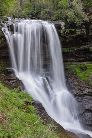
Silver Run Falls

A short, family-friendly waterfall hike less than 10 minutes from Cashiers.
Easy Hiking
- Distance
- 353 m
- Ascent
- 10 m
- Descent
- 10 m
A short walk to a view of the highest waterfall in North Carolina!
Hiking Moderate

Whitewater Falls is the highest waterfalls east of the Rockies, and subsequently - the highest in Western North Carolina. Tucked away in the "Land of Waterfalls," this short hike is less than 20 minutes from Cashiers, Sapphire, Toxaway, or even Rosman, NC. The views are simply stunning from the overlook, or you can make your way down a short - yet steep - staircase to an even better view of the falls.
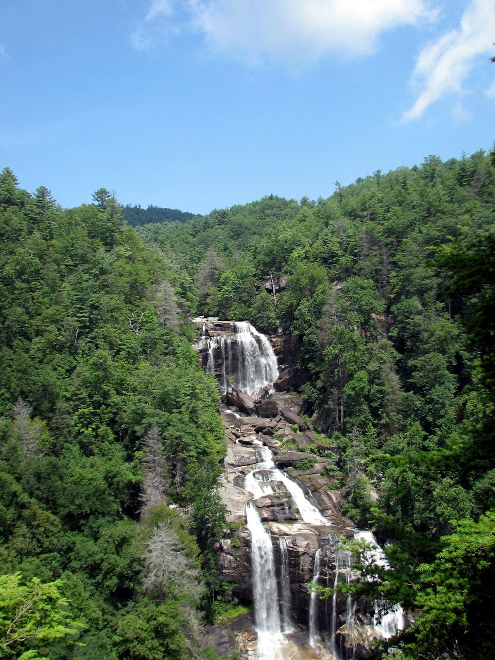
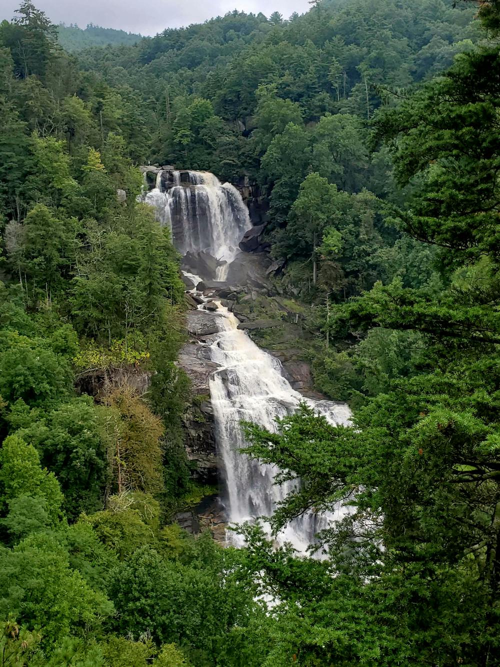
Whitewater Falls is a developed recreation area within Nantahala National Forest, so bring some cash along for the self-service registration area. It may seem like you could get away without paying, but park rangers aggressively enforce the fees and can often be seen there throughout the day.
To earn your view of the waterfall, simply follow the paved pathway to the first overlook. It is wheelchair accessible to there. To the right, you can follow a short wooden staircase downhill to a viewing platform below the main overlook. Though some may consider it easy, this hike is ranked as moderate due to this descent. It is only a few flights of stairs, but the closer vantage point of Whitewater Falls is well worth the challenge!
Moderate
Hiking along trails with some uneven terrain and small hills. Small rocks and roots may be present.

The trail contains some obstacles such as outcroppings and rock which could cause injury.

Close to help in case of emergency.
6.1 km away
A short, family-friendly waterfall hike less than 10 minutes from Cashiers.
Easy Hiking
5 routes · Hiking