21 m away
Bent Creek
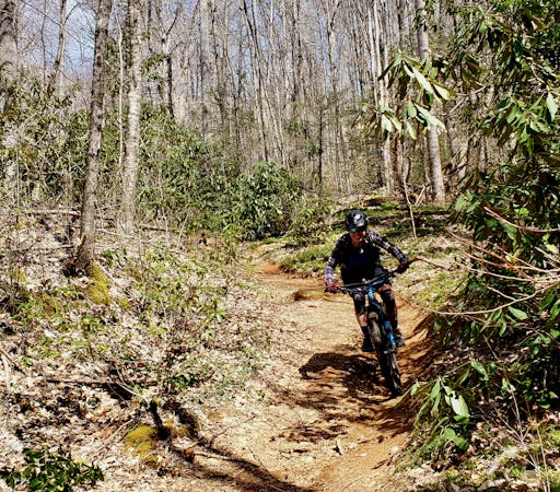
The most popular trail system near Asheville is popular for a very good reason: the trails are superb!
Moderate Mountain Biking
- Distance
- 29 km
- Ascent
- 815 m
- Descent
- 815 m
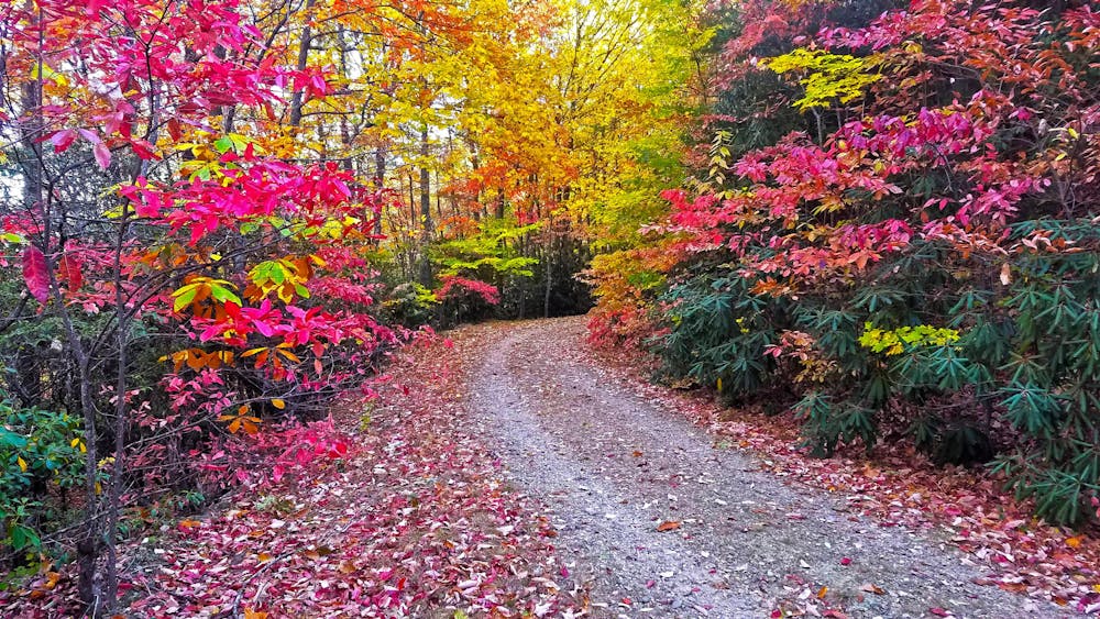
A gravel tour of Bent Creek Experimental Forest and the NC Arboretum.
Mountain Biking Easy

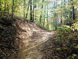
Bent Creek is home to some of the most coveted trail running, mountain biking, and gravel riding in all of the Southeast. This loop is a local favorite and links up some of the best gravel roads for an excellent loop just minutes from Asheville.
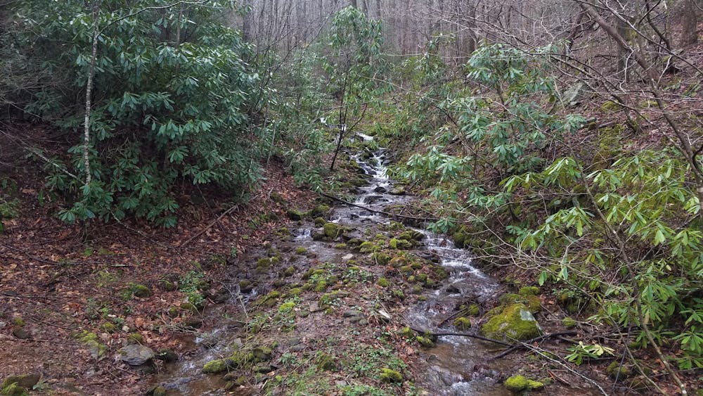
Established in 1925, the goal of Bent Creek Experimental Forest was "to conduct research on forest regeneration and erosion control, and to demonstrate forest management practices," according to the USFS. It was originally a mere 150 acres when founded, but is now nearly 6,000 acres in total! Along this route, you'll pass several kiosks that explain different methods of logging—all are interesting reads if you're not in a rush to finish the ride.
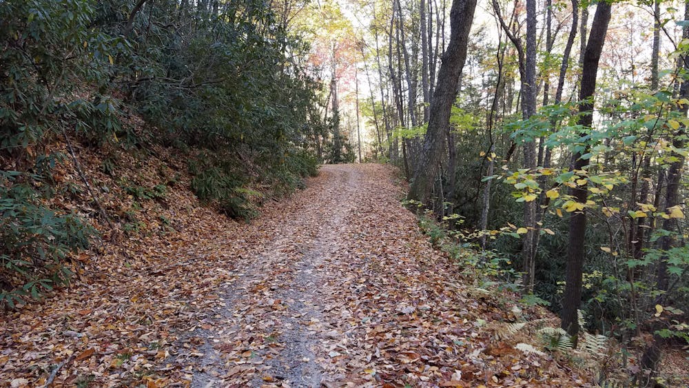
As mapped, this route begins at the Rice Pinnacle Trailhead. You could also start at the Hardtimes trailhead less than a mile up. Vault toilets are available at both, but there is no drinking water available. The route also passes through the NC Arboretum, which has both water and restrooms available. An unpaved pull-off on the Blue Ridge Parkway can also access the loop. It's less than 5 minutes from the French Broad River Overlook.
Worth noting, you will enter and exit Arboretum through gates on the gravel road. They are locked daily, and you can view the hours here. If you're planning this ride outside of the Arboretum hours, consider descending Hard Times Road (aka Hardtimes) from South Ridge Road instead of continuing into the Arboretum.
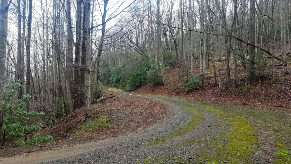
This gravel loop is accessible year-round, but it's best during the spring and fall. Summer humidity can be unbearable to some, while the winter sometimes offers less than favorable riding conditions. Other than Bent Creek Gap Road and a short stretch of pavement, none of this loop is open to motor vehicles. You may however, encounter a Forest Service vehicle on occasion since portions of Bent Creek are utilized for logging and/or other types of research.
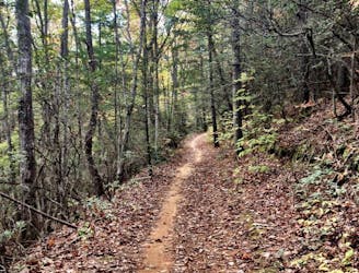
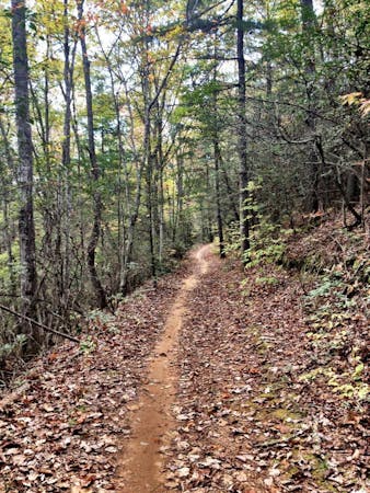
Ridden counter-clockwise, the route is as follows: Rice Pinnacle -> Ledford Branch -> Boyd Branch -> Bent Creek Gap -> South Ridge -> Hard Time -> Bent Creek Road.
Easy
Mostly smooth and non-technical singletrack with unavoidable obstacles 2in/5cm tall or less. Avoidable obstacles may be present. Ideal for beginner riders.
21 m away
The most popular trail system near Asheville is popular for a very good reason: the trails are superb!
Moderate Mountain Biking
1.2 km away
A flat, flowy, beginner-friendly loop in Asheville's most popular trail system
Easy Mountain Biking
8.5 km away

A gated, dead-end road perfect as a gravel grind or overnight bikepacking trip.
Easy Mountain Biking
9.3 km away

Classic Pisgah at an intermediate level.
Difficult Mountain Biking
9 routes · Mountain Biking
3 routes · Mountain Biking
8 routes · Mountain Biking