0 m away
Big Ivy Road to Douglas Falls
A steep gravel grind up Big Ivy Road to the Douglas Falls Trailhead.
Easy Mountain Biking
- Distance
- 27 km
- Ascent
- 740 m
- Descent
- 740 m
A fast and flowing descent in Big Ivy loaded with optional kickers.
Mountain Biking Difficult

Lesser visited than much of Pisgah National Forest, Big Ivy is home to a surprisingly extensive network of trails. While not everything is open to mountain biking, both Walker Creek and Staire Creek make this one of the top rides for locals.
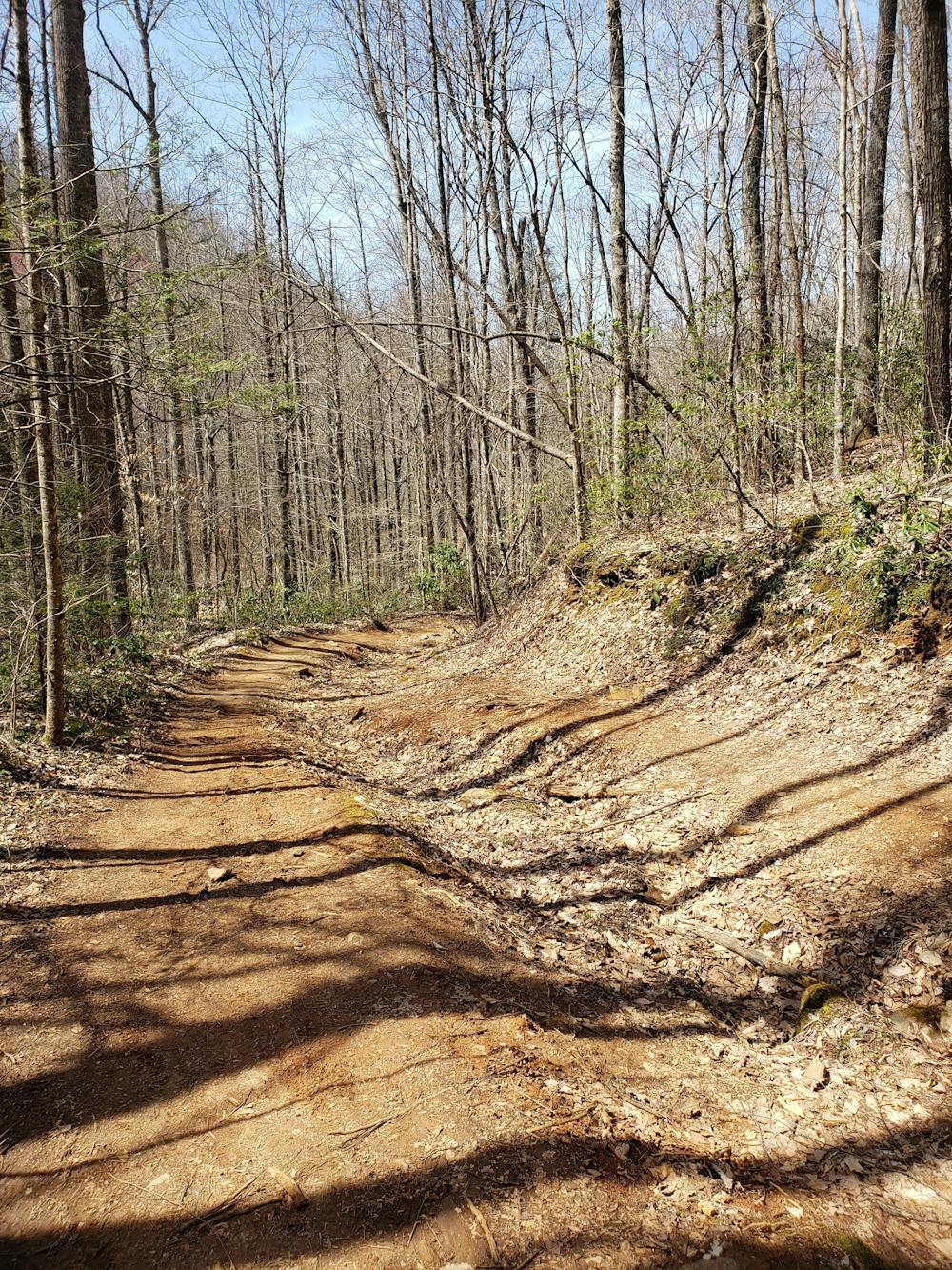
Just a short drive from Barnardsville, the trailhead lies along the Big Ivy Road before the first Forest Service gate. A small gravel lot serves as the main parking area, and several pull-offs along the road make for alternatives.
Begin the ride by climbing up Big Ivy Road. Only open seasonally to vehicles, it is the only way to access the downhills by bike. In the summer months, shuttling becomes a possibility. When the gate is open, multiple campsites along the road also make for great overnight opportunities.
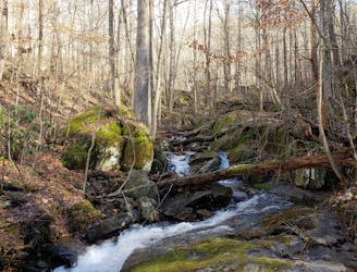
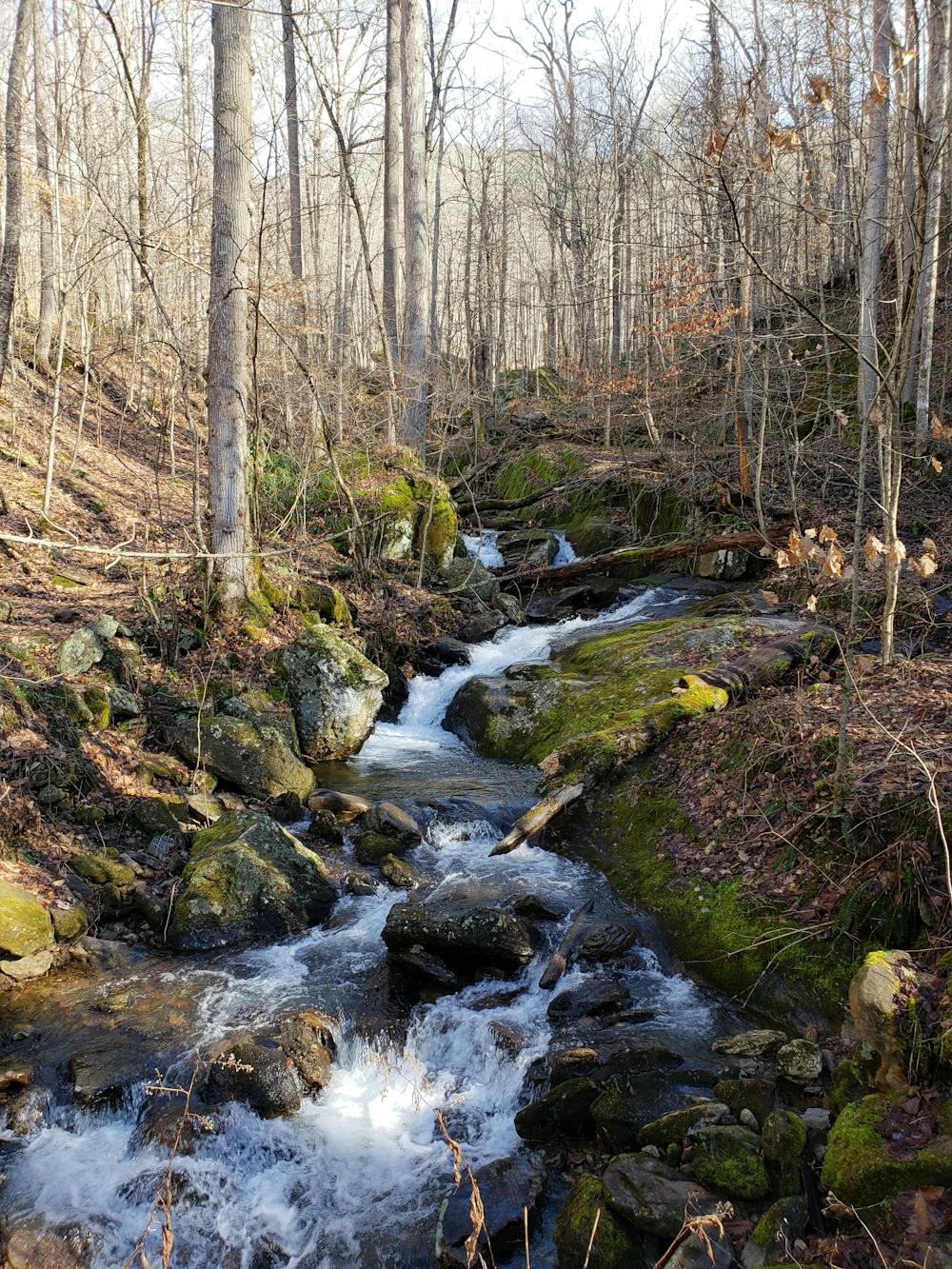
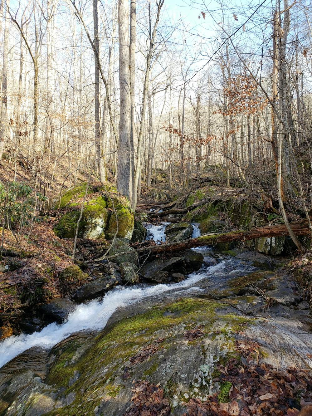
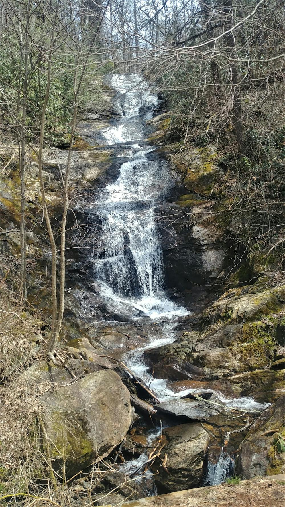
Despite being a gravel road, the climb is relentless. Several steep pitches line the way as the road parallels a stream before turning to hug the elevation contours on its way up. The climb passes by several picturesque waterfalls which serve as great opportunities to cool off on a hot, muggy summer day. After a brief descent along "the wall," you'll reach the Walker Creek trailhead.
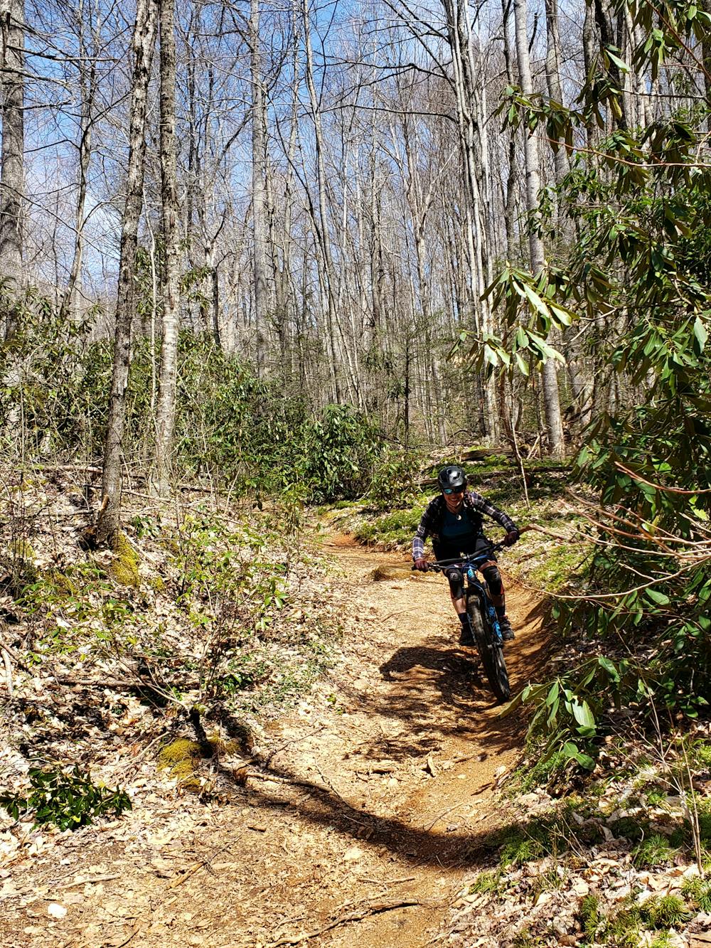
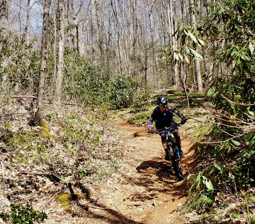
Walker Creek feels like something that was pulled straight out of a bike park and placed in the heart of Pisgah National Forest. Fast and flowing, the path is often wide with plenty of optional kickers or jumps along the way. A couple of sharp turns will test your cornering, and the relentless rocks will put your suspension through the wringer.
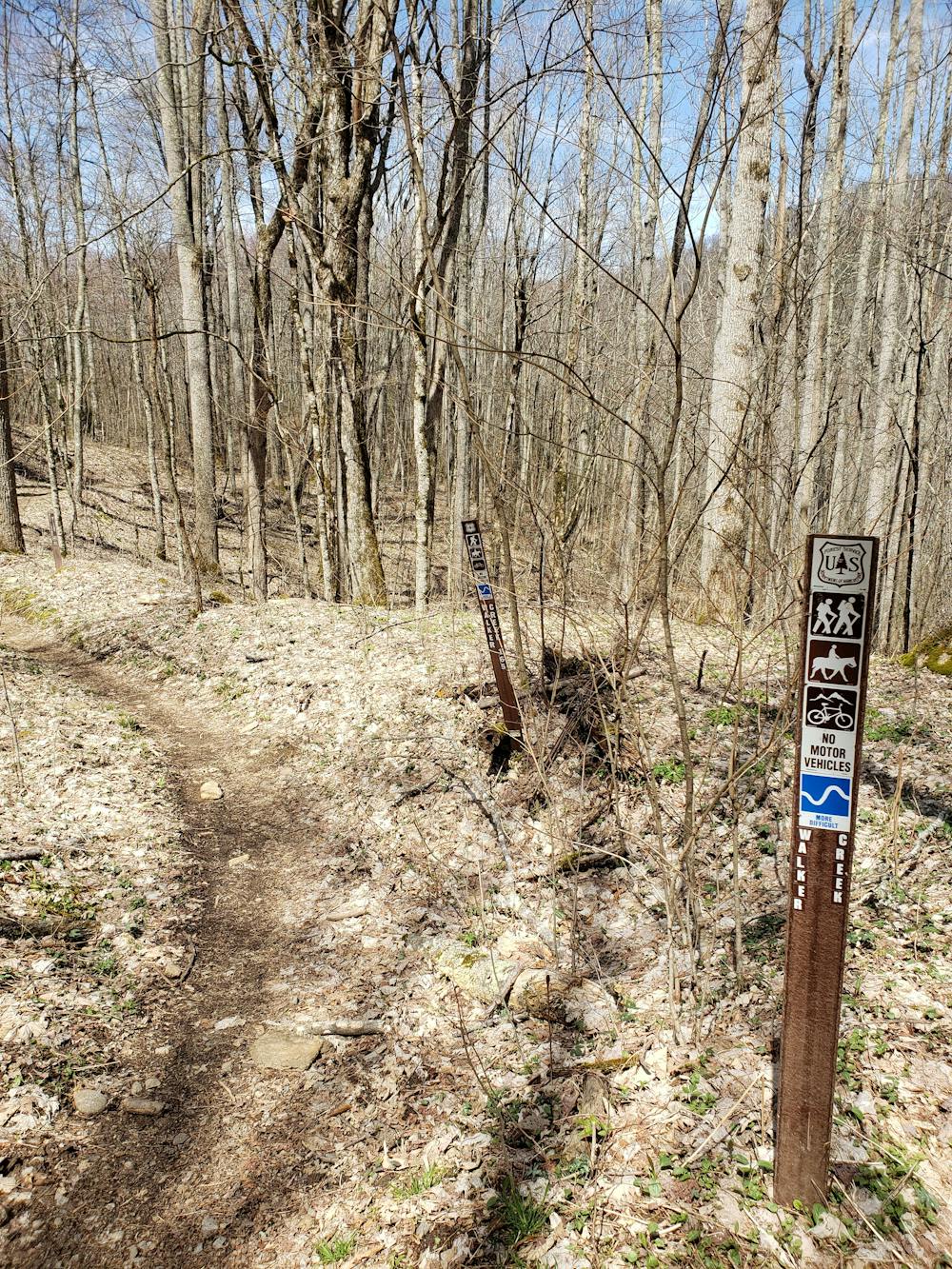
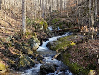
After the incredibly fast and bone chattering descent, the trail merges into Walker Creek. Some maps refer to this portion as (lower) Stair Creek, but the trailhead sign officially denotes it as Walker Creek.
The lower portion of the descent is open and rocky, with one major creek crossing that will require you to dismount. Know that after a recent rain, high waters may require you to get your feet wet. After dumping out onto a gravel road, take a right to return to the trailhead.
Difficult
Mostly stable trail tread with some variability featuring larger and more unavoidable obstacles that may include, but not be limited to: bigger stones, roots, steps, and narrow curves. Compared to lower intermediate, technical difficulty is more advanced and grades of slopes are steeper. Ideal for upper intermediate riders.

Some trail sections have exposed ledges or steep ascents/descents where falling could cause serious injury.

Away from help but easily accessed.
0 m away
A steep gravel grind up Big Ivy Road to the Douglas Falls Trailhead.
Easy Mountain Biking
5 m away
An incredibly steep and technical descent in Big Ivy.
Difficult Mountain Biking
8 routes · Mountain Biking