4.6 km away
Heartbreak Ridge via Old Mitchell Toll Road
Arguably the most epic loop in Pisgah National Forest
Severe Mountain Biking
- Distance
- 32 km
- Ascent
- 1.2 km
- Descent
- 1.2 km
One of the fastest descents in Pisgah with easy access from town.
Mountain Biking Difficult

Kitsuma is one of the top classic rides in Pisgah National Forest. Located just a few minutes off of Interstate 40, it's easily accessible for both locals and those traveling in from the eastern half of the state.
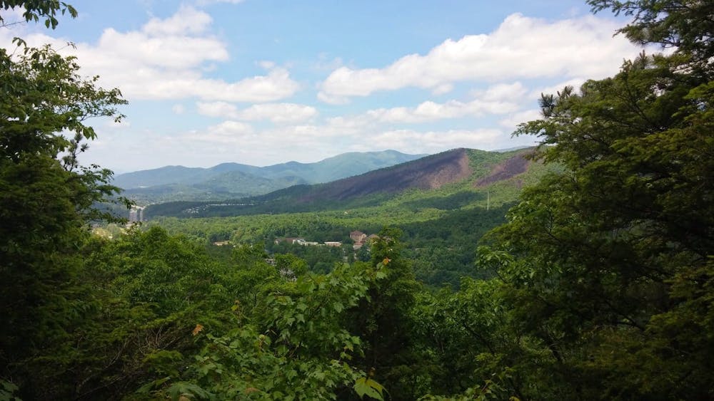
Two main trailheads, Old Fort Picnic Area and Kitsuma Trailhead, are the two main staging areas for this ride. If you want to get the climbing out of the way before the descent, begin at the bottom of the loop at the picnic area.
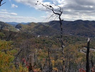
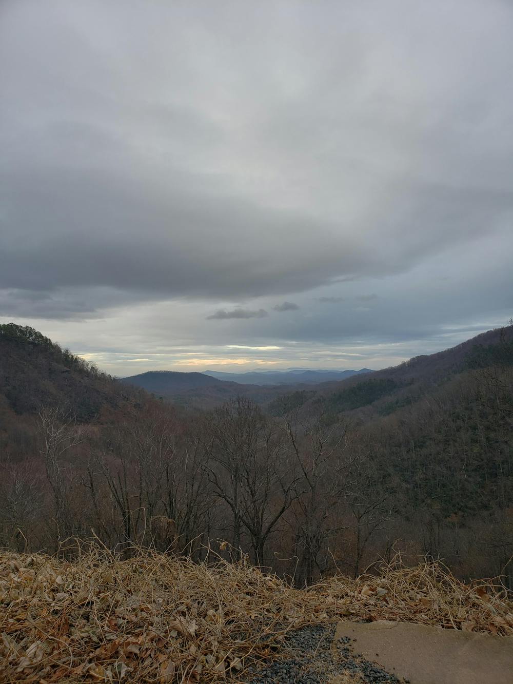
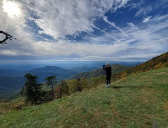
From the picnic area, take a left out of the parking lot to begin the climb up the Point Lookout Trail. Sometimes referred to as the Point Lookout Greenway, this paved path begins at the end of Old US Highway 70. A gate prohibits any vehicles from using it, making it a popular spot for cyclists and hikers. Countless overlooks and vantage points make this not only a mellow climb, but an extremely scenic one as well.
A few landslides have damaged the path over the years, but everything is passable on bike. As you near the top, you'll pass by an overlook with a bench just before crossing over an active railroad tunnel.
At the end of the greenway, continue straight onto the road, then take the left onto Royal Gorge Road. Once it dead-ends you'll be at the Kitsuma Trailhead. This is the other parking area that you could begin at.
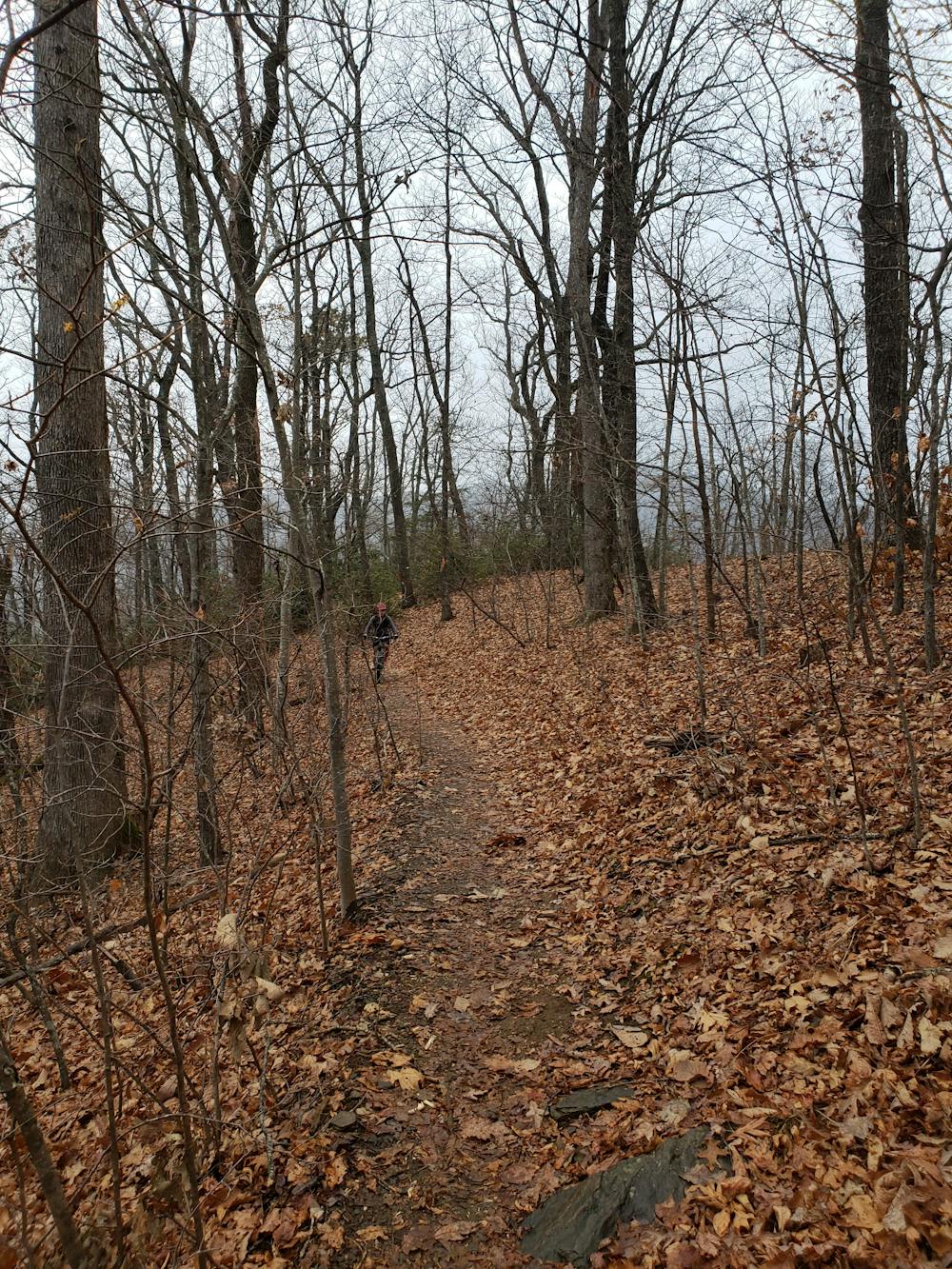
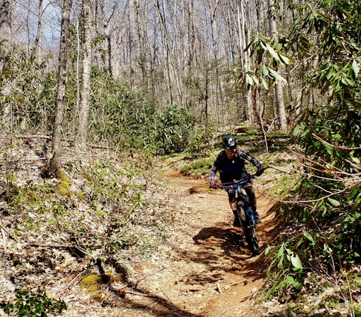
The first bit of the trail is tight as you ascend a series of switchbacks up to Kitsuma Peak. Just below the summit, a popular overlook serves as a great place to take a quick break before beginning the descent. After a short descent from the overlook, you'll have one final push up to another high point before continuing along the ridge. For the average rider, a hike-a-bike shouldn't be necessary on any of this ride.
Most of the descent is high speed flow, riddled with water bars, berms, and often narrow pieces of trail. A few vantage points to the north will give you views of the distant Mount Mitchell, the highest mountain east of the Mississippi River. As you get further down the ridge, the trail gets steeper and faster and will have you grinning ear-to-ear as you approach the Old Fort Picnic Area, the end of the ride.
As a note, this trail should be avoided when wet, as the soil composition is very heavy with clay. Not only is it dangerous, but riding when wet can also cause serious damage to the trail. This trail is also popular with hikers and runners, so be aware of your surroundings and courteous to other trail users.
Difficult
Mostly stable trail tread with some variability featuring larger and more unavoidable obstacles that may include, but not be limited to: bigger stones, roots, steps, and narrow curves. Compared to lower intermediate, technical difficulty is more advanced and grades of slopes are steeper. Ideal for upper intermediate riders.

The trail contains some obstacles such as outcroppings and rock which could cause injury.

Close to help in case of emergency.
4.6 km away
Arguably the most epic loop in Pisgah National Forest
Severe Mountain Biking
5.2 km away
A steep lollipop loop up Curtis Creek and down to the South Toe River.
Easy Mountain Biking
8 routes · Mountain Biking