2 m away
Tsali: Mouse Branch and Thompson Loops
Sinuous, mostly-smooth singletrack along the shores of beautiful Fontana Lake.
Moderate Mountain Biking
- Distance
- 23 km
- Ascent
- 549 m
- Descent
- 549 m
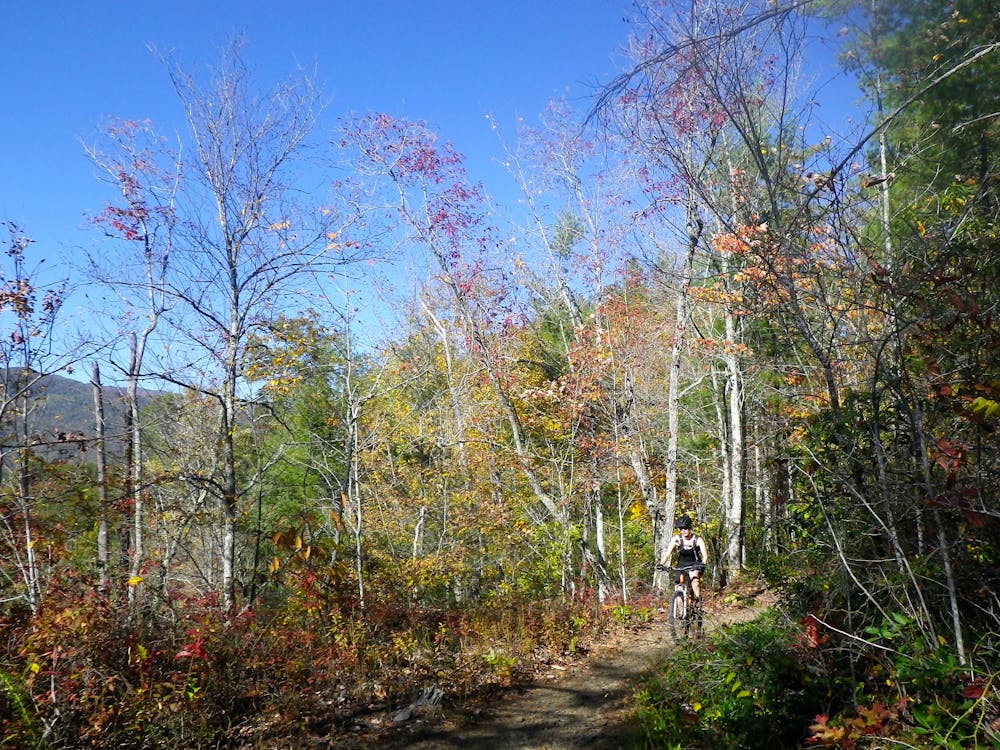
Enjoy sinuous, mostly-smooth singletrack along the shores of beautiful Fontana Lake in the longer of the two rides at Tsali.
Mountain Biking Difficult

Tsali is one of the original mountain bike destinations of yore, dating back to time immemorial. The singletrack is smooth and flowy, and the views of Fontana Lake and the Great Smoky Mountains National Park are jaw-dropping, making this a perennial favorite! Since the trails here have changed very little over the years, in some mountain bikers' opinions Tsali has lost the luster it once had. Those riders think it can't compete with modern flow trails and the radness of nearby Pisgah National Forest. But for other riders—perhaps beginners and intermediate riders who don't want technical challenge—Tsali's charms are as sweet as ever.
One of the original and continuing draws to the Tsali Trail System is the easy access to a well-developed campground, right at the trailhead. Mountain bike trails with high-quality camping amenities located smack in the center of the trail network are few and far between, helping Tsali continue to draw riders for weekend getaways year after year.
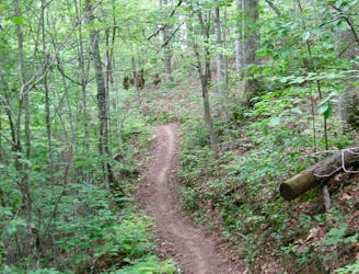
Overall the singletrack is fast, smooth, and flowy. The trail follows the contour of the topography and the shore of the lake quite closely overall, sweeping in and out of almost every single cove, never traveling in a straight line.
The Right and Left loops are arguably the longer and more difficult of the trails at Tsali. Some of the exposed sections above the lake, particularly on the Left Loop, are quite rocky and challenging. Beginner riders or less confident intermediates can easily walk these short difficult sections and then carry on with the flowy singletrack that Tsali is known for.
The trails at Tsali are shared with horses, but mountain bikers and equestrians swap trails based on the day of the week. While this means you don't have to worry about coming upon a horse on the trail, it does mean that you can't ride the entire network in the same day—which is why the two halves are listed separately. According to the US Forest Service, in Jan./Feb./March/April/June/Sept./Nov./Dec., the Right and Left loops are open to mountain bikers on Monday, Wednesday, Friday, and Sunday. In May/July/August/October, they're open to mountain bikers Tuesday, Thursday, and Saturday.
Difficult
Mostly stable trail tread with some variability featuring larger and more unavoidable obstacles that may include, but not be limited to: bigger stones, roots, steps, and narrow curves. Compared to lower intermediate, technical difficulty is more advanced and grades of slopes are steeper. Ideal for upper intermediate riders.

Some trail sections are extremely exposed where falling will almost certainly result in serious injury or death.

Away from help but easily accessed.
2 m away
Sinuous, mostly-smooth singletrack along the shores of beautiful Fontana Lake.
Moderate Mountain Biking

24 routes · Mountain Biking