3.2 km away
Mill Ridge Trail
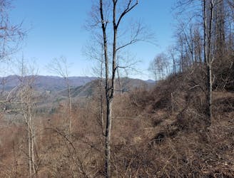
An easy trail run near Hot Springs, NC, that's loaded with views.
Easy Trail Running
- Distance
- 6.5 km
- Ascent
- 151 m
- Descent
- 151 m
A 330-mile route connecting the MST, AT, BMCT, and Burnsville into an epic loop.
Trail Running Severe

This is a popular trail running route which is generally considered to be severe. It's an unknown remoteness, it features unknown exposure and is typically done in an unknown time of year. From a low point of 400 m to the maximum altitude of 2 km, the route covers 541 km, 15664 vertical metres of ascent and 15664 vertical metres of descent.
Designed by Jennifer Pharr Davis
Severe
3.2 km away
An easy trail run near Hot Springs, NC, that's loaded with views.
Easy Trail Running
9 km away
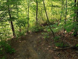
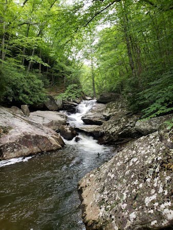
A steep, remote loop not far from Hot Springs with plenty of views and river access.
Difficult Trail Running
8 routes · Hiking · Trail Running