5.1 km away
Skyline Vista Trail
A paved path to an impressive vista looking west over the Little Missouri River.
Easy Hiking
- Distance
- 410 m
- Ascent
- 2 m
- Descent
- 2 m
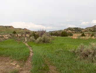
Short loops that follows a butte ridge line and overlooks the Bully Pit Gold Course.
Hiking Moderate

This is a popular hiking route which is generally considered to be moderate. It's not remote, it features medium exposure and is typically done all year round. From a low point of 692 m to the maximum altitude of 768 m, the route covers 2.8 km, 105 vertical metres of ascent and 105 vertical metres of descent.
Short loops that follows a butte ridge line and overlooks the Bully Pit Gold Course.
Moderate
Hiking along trails with some uneven terrain and small hills. Small rocks and roots may be present.

The trail contains some obstacles such as outcroppings and rock which could cause injury.

Close to help in case of emergency.
5.1 km away
A paved path to an impressive vista looking west over the Little Missouri River.
Easy Hiking
6.7 km away

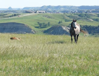
A short, family-friendly overlook hike with breathtaking views of the badlands and their native wildlife.
Moderate Hiking
9.4 km away
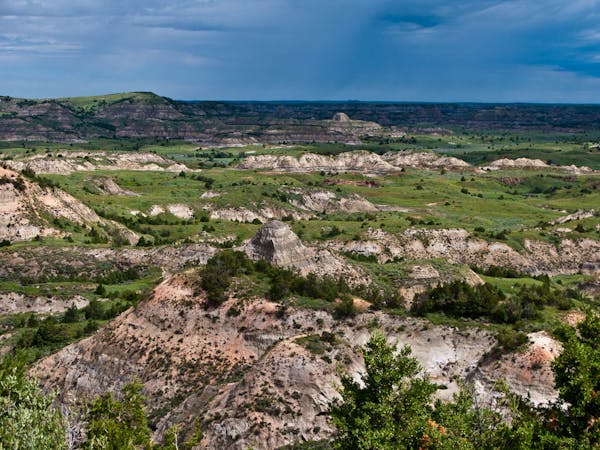
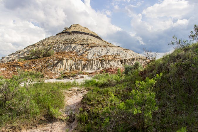
A long circuit through remote badlands with multiple access points and plenty of options to shorten or lengthen your hike.
Difficult Hiking
4 routes · Hiking
10 routes · Hiking