4.8 km away
Jones -> Talkington -> Paddock Loop
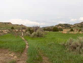
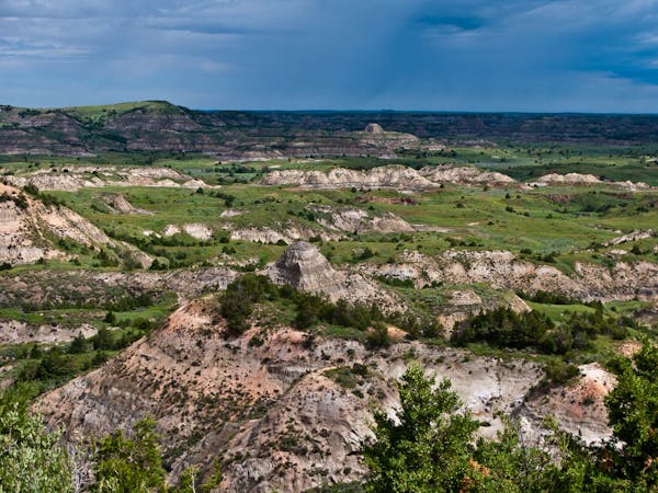
A long circuit through remote badlands with multiple access points and plenty of options to shorten or lengthen your hike.
Difficult Hiking
- Distance
- 18 km
- Ascent
- 230 m
- Descent
- 230 m
A paved path to an impressive vista looking west over the Little Missouri River.
Hiking Easy

The Skyline Vista Trail is a short, paved path to an overlook of the Little Missouri River, with "wonderful views of the western horizon," the park proclaims. The trails is fully-accessible, great for anyone in the family, and shouldn't take more than 15 minutes round-trip from where you parked. If you're planning a visit to Theodore Roosevelt NP, this should be one of your first stops. Seating is even available at the overlook so that you can catch your breath while soaking in the incredible views of the surrounding badlands.
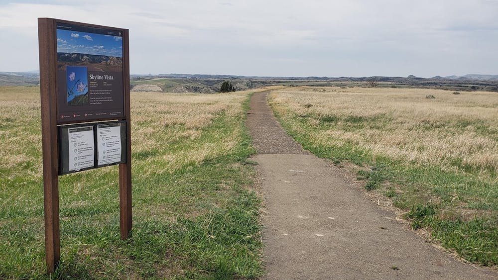
The trailhead for this short hike is a large overlook on East River Road, just 4 miles into the park. There is plenty of parking, including space for busses and RVs. Neither restrooms nor drinking water is available, though both can be found at the visitor center.
About 1-mile past the trailhead, the Cottonwood Campground offers the only overnight camping in the park's southern unit. There are no electric hookups, but most sites are suitable for campers and self-sufficient RVs. Half of the sites can be reserved in advance, while the others are first-come, first-serve and typically fill by midday between Memorial Day and Labor Day. More information on the campground, including fees and reservation information can be found here.
Easy
Walking along a well-kept trail that’s mostly flat. No obstacles are present.

The path is on completely flat land and potential injury is limited to falling over.
Close to help in case of emergency.
4.8 km away
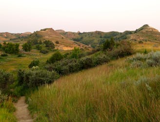
A long circuit through remote badlands with multiple access points and plenty of options to shorten or lengthen your hike.
Difficult Hiking
5.4 km away

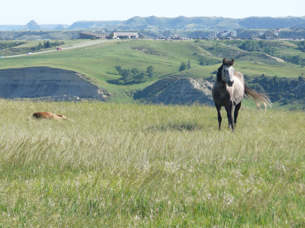
A short, family-friendly overlook hike with breathtaking views of the badlands and their native wildlife.
Moderate Hiking
6.9 km away
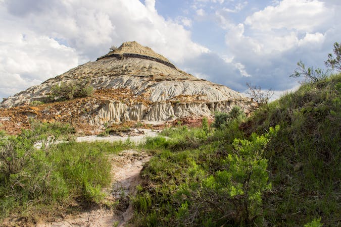
A short hike to the self-proclaimed "best view of the Little Missouri River the South Unit has to offer."
Easy Hiking
8.8 km away
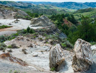
A challenging 10-mile circuit through one of America's largest petrified forest.
Difficult Hiking
9.9 km away
A short, self-guided loop highlighting the geological history of the badlands.
Easy Hiking
4 routes · Hiking
10 routes · Hiking

63 routes · Alpine Climbing · Hiking