990 m away
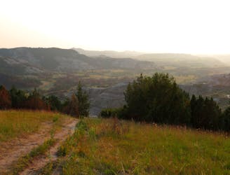
Buck Hill Trail

An easy and accessible hike to the top of Theodore Roosevelt National Park!
Easy Hiking
- Distance
- 634 m
- Ascent
- 23 m
- Descent
- 23 m
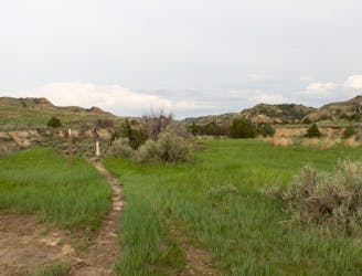
A short, self-guided loop highlighting the geological history of the badlands.
Hiking Easy

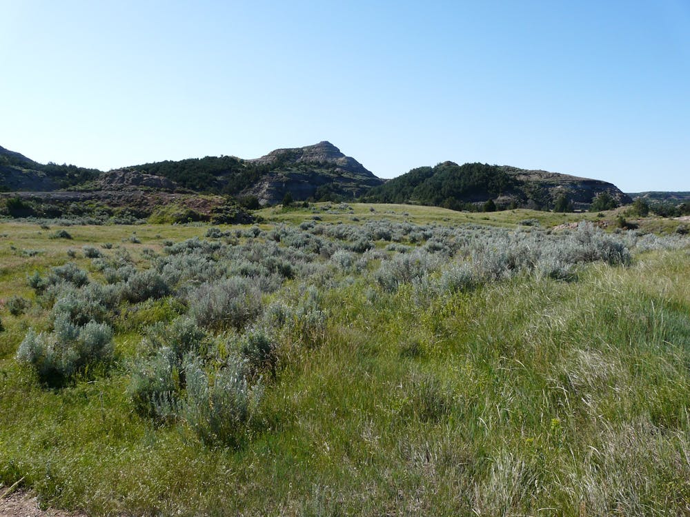
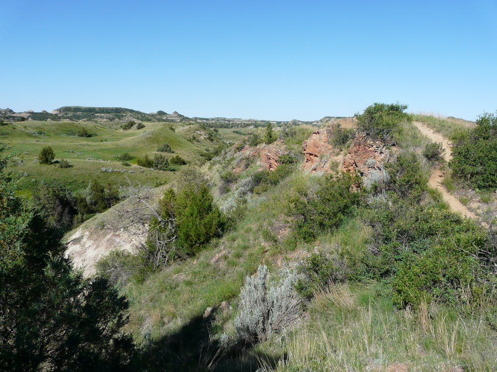
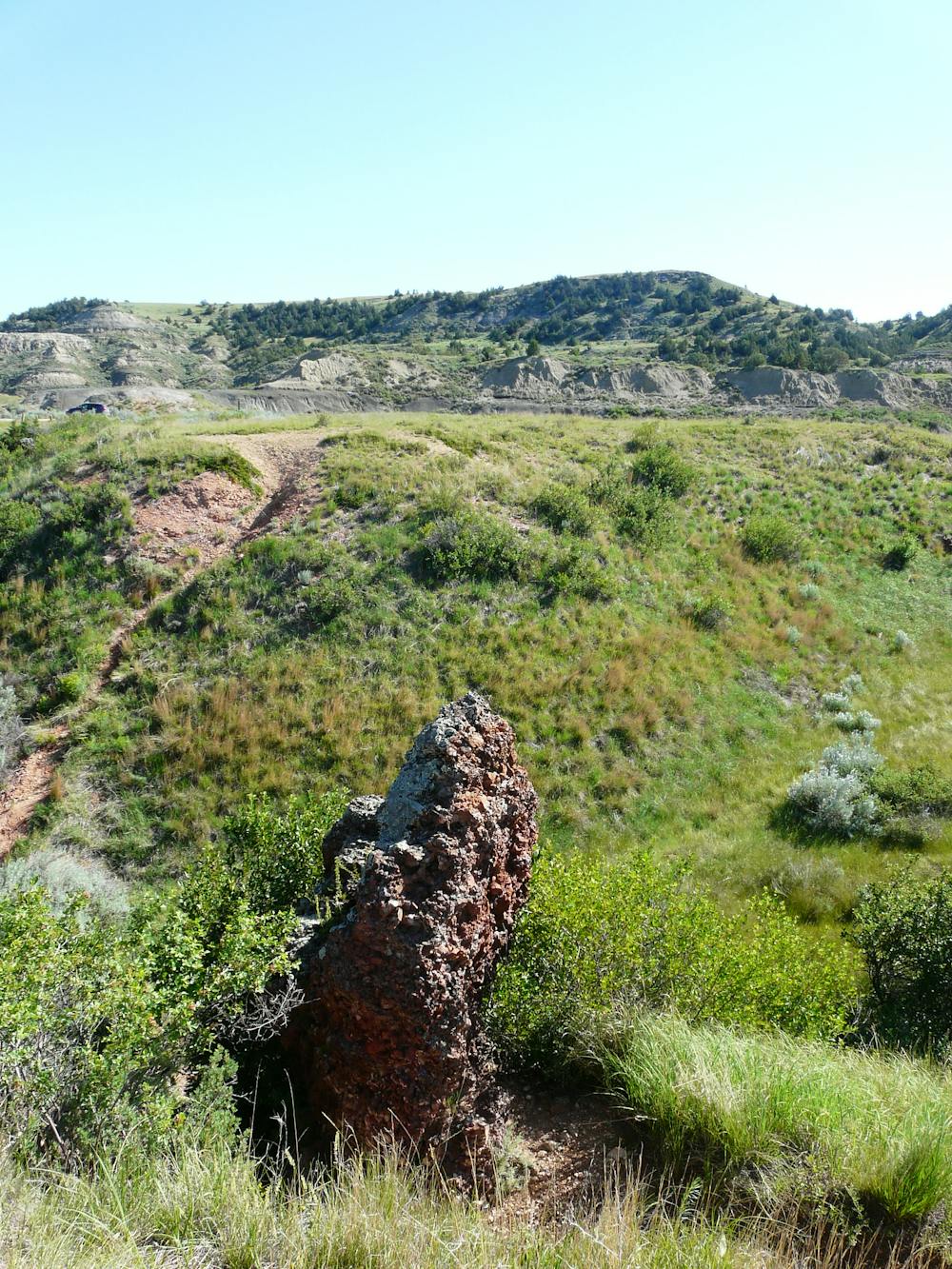
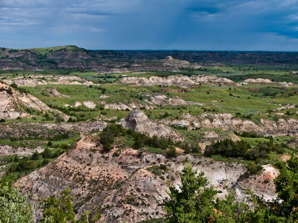
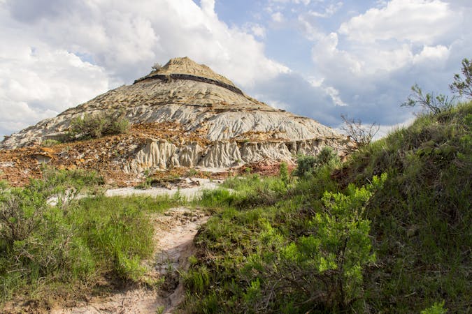
The Coal Vein Trail offers answers to many of the questions you likely have about the badland's unique, barren, and vast features were formed. "The beautiful layers of rock tell a story of the 60-million-year geological history of the badlands," the NPS notes, and along the way, you can expect to learn about everything from "ancient swamps to recent coal fires" that once defined the desolate landscape. This loop is self-guided and unpaved. It's an easy hike that everyone in the family will enjoy.
On average, the Coal Vein Trail takes about 30-45 minutes to complete, and it begins at its own trailhead accessed along Scenic Loop Road. The parking area is small, and there are no facilities, so plan ahead and visit one of the park's visitor centers or the Cottonwood Campground beforehand, though neither are particularly close.
Click here to enjoy this hike with a complete interpretive guide courtesy of the NPS.
After you finish this hike, head over to nearby Buck Hill and hike to the highest point in Theodore Roosevelt National Park!
Easy
Walking along a well-kept trail that’s mostly flat. No obstacles are present.

The trail contains some obstacles such as outcroppings and rock which could cause injury.
Away from help but easily accessed.
990 m away
An easy and accessible hike to the top of Theodore Roosevelt National Park!
Easy Hiking
3.6 km away
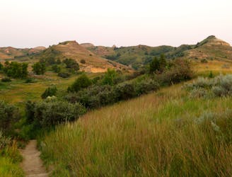
A "moderate challenge with massive rewards," and the one-stop introduction to the stunning beauty seen throughout Theodore Roosevelt NP.
Moderate Hiking
3.9 km away
An awe-inspiring overlook hike, and a ranger favorite for watching the sunset.
Easy Hiking
4.6 km away

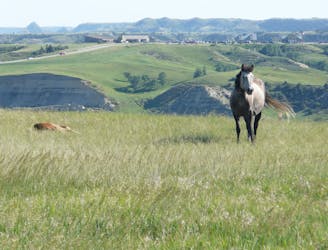
A short, family-friendly overlook hike with breathtaking views of the badlands and their native wildlife.
Moderate Hiking
8 km away
A long circuit through remote badlands with multiple access points and plenty of options to shorten or lengthen your hike.
Difficult Hiking
9.6 km away
A short hike to the self-proclaimed "best view of the Little Missouri River the South Unit has to offer."
Easy Hiking
9.9 km away
A paved path to an impressive vista looking west over the Little Missouri River.
Easy Hiking
4 routes · Hiking
10 routes · Hiking