2.5 km away
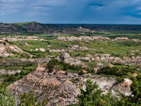
Jones -> Talkington -> Paddock Loop
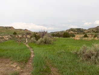
A long circuit through remote badlands with multiple access points and plenty of options to shorten or lengthen your hike.
Difficult Hiking
- Distance
- 18 km
- Ascent
- 230 m
- Descent
- 230 m
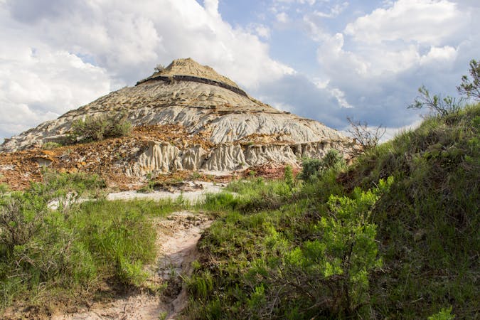
A short hike to the self-proclaimed "best view of the Little Missouri River the South Unit has to offer."
Hiking Easy

This easy nature trail wanders through a wind-sculpted canyon bound for "the best view of the Little Missouri River the South Unit has to offer," the park boasts. This loop trail shouldn't take more than 20 minutes round-trip, and it's a great option for everyone in the family. The steep canyon walls contrast the wide-open prairies, offering spectacular views throughout - so set aside some extra time to relax and enjoy the unique landscape along the way.
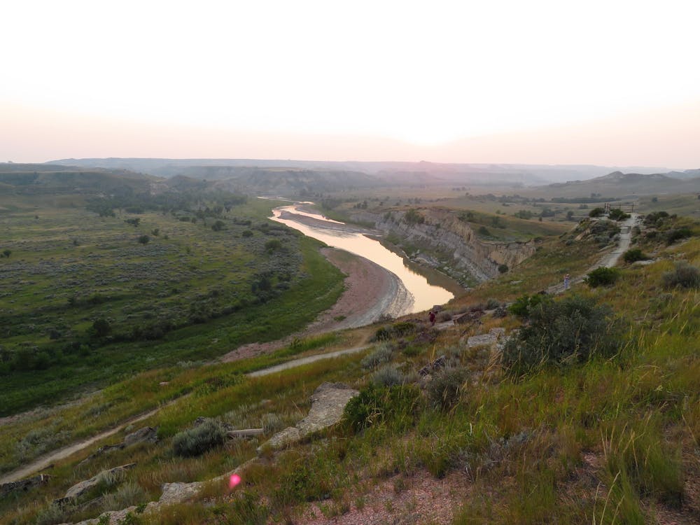
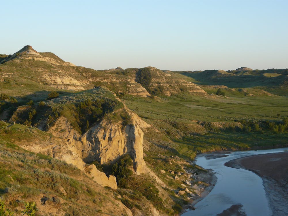
Paired with the Biocourt Overlook Trail, these two easy hikes are ranger-favorites for enjoying the sunset in the park. Another source describes the views from Wind Canyon as a "totally mesmerizing sight when the sun sets behind the badlands," and consider it easy enough for anyone of any skill level to enjoy.
Just under 0.5-miles, plan 20 to 30 minutes to hike the entire loop from its trailhead on Scenic Loop Rd. Neither water nor restrooms are available at the trailhead, though the parking area is large enough to accommodate larger vehicles if needed.
Sources: NPS OnlyInYourState.com
Easy
Walking along a well-kept trail that’s mostly flat. No obstacles are present.

The path is on completely flat land and potential injury is limited to falling over.

Away from help but easily accessed.
2.5 km away
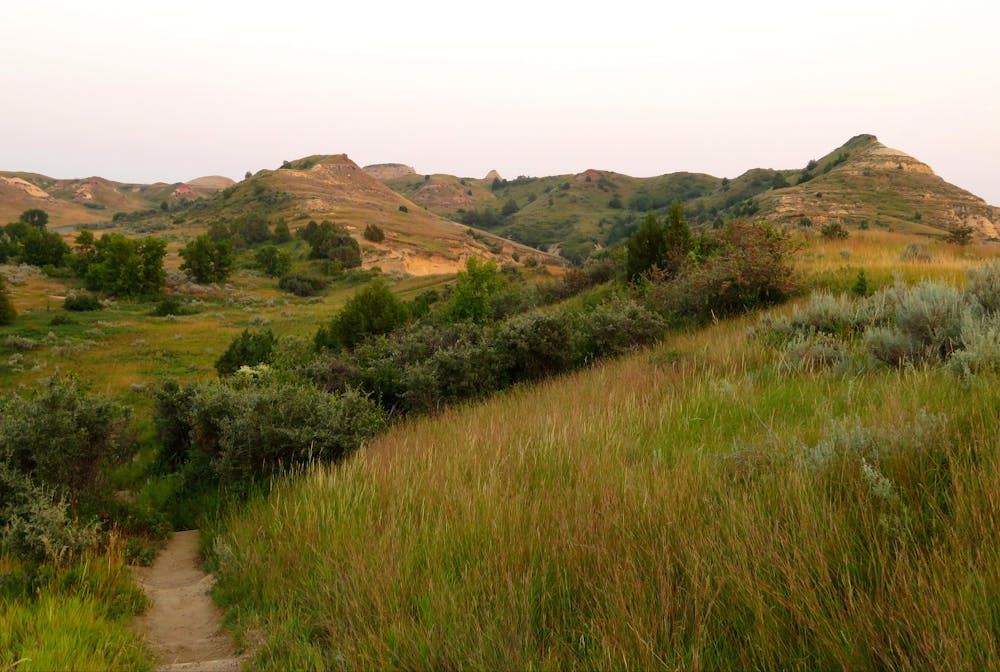
A long circuit through remote badlands with multiple access points and plenty of options to shorten or lengthen your hike.
Difficult Hiking
6.9 km away
A paved path to an impressive vista looking west over the Little Missouri River.
Easy Hiking
7.2 km away
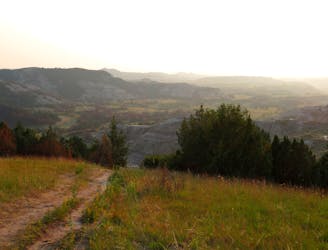
An awe-inspiring overlook hike, and a ranger favorite for watching the sunset.
Easy Hiking
7.6 km away

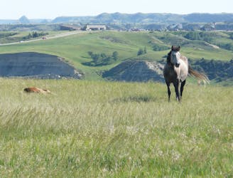
A short, family-friendly overlook hike with breathtaking views of the badlands and their native wildlife.
Moderate Hiking
9.1 km away
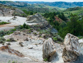
A challenging 10-mile circuit through one of America's largest petrified forest.
Difficult Hiking
9.6 km away
A short, self-guided loop highlighting the geological history of the badlands.
Easy Hiking
4 routes · Hiking
10 routes · Hiking

63 routes · Alpine Climbing · Hiking