8.8 km away
Skyline Vista Trail
A paved path to an impressive vista looking west over the Little Missouri River.
Easy Hiking
- Distance
- 410 m
- Ascent
- 2 m
- Descent
- 2 m
A challenging 10-mile circuit through one of America's largest petrified forest.
Hiking Difficult
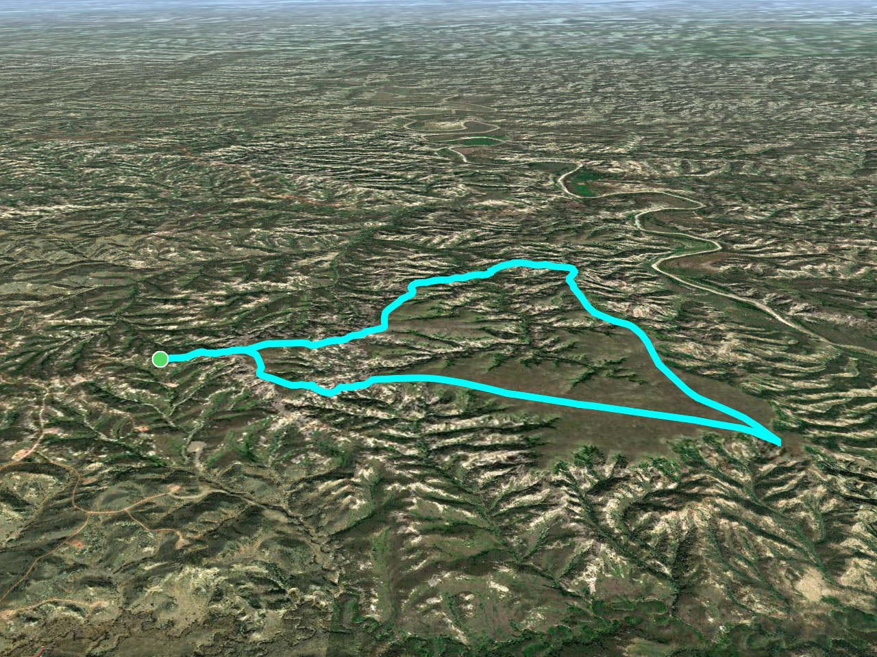
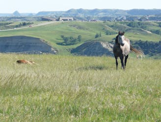
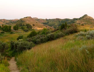
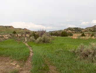
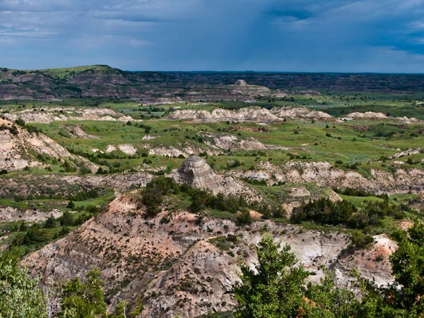
The Petrified Forest Loop explores ancient petrified forests and the iconic badlands wilderness along a 10-mile tour of the park's remote backcountry. Seen here, this loop pairs the Maah Daah Hey Trail and the North/South Petrified Forest Trails (which are sometimes listed as the Petrified Forest Loop), and numerous trail junctions offer options for even longer outings. As a day hike, it could take upwards of 6 hours to complete, or you could obtain a free backcountry permit and turn the adventure into an overnight trip instead.
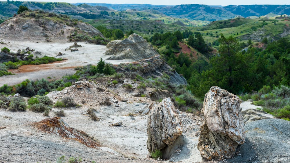
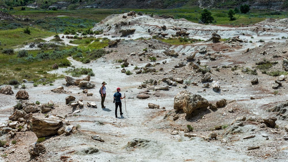
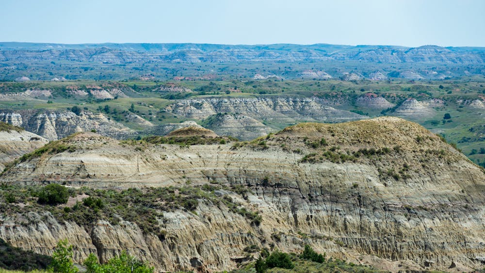
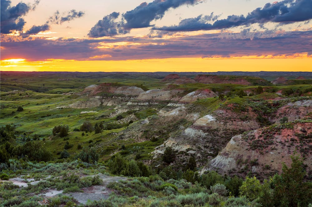
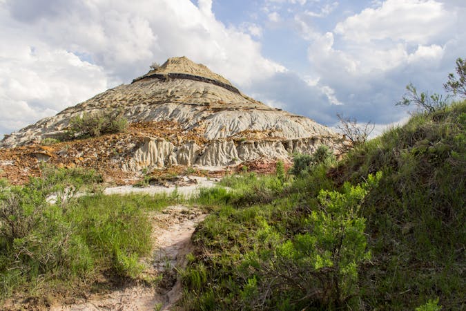
Petrified wood, which is simply wood that aged to stone, "occurs when the tree becomes buried and decomposition does not initially occur due to a lack of oxygen," this source writes. "Minerals such as silica in water deposit in the tree and stone (usually quartz) is formed," and the tree's individual rings can often be observed, the author continues. Though there are other natural occurrences of petrified forests throughout the world, this particular one is thought to be the third-largest in the United States.
The trailhead is located about 20 minutes from Mendora, in the northwest corner of the park's Southern Unit. It can host up to 20 cars, though it is only suitable for smaller passenger vehicles. Neither restrooms nor water are available, though a small kiosk is there to greet you with some additional information about the trail. If hiking the entire 10-mile circuit seems a little too ambitious, an out-and-back into North Petrified Forest is an excellent option that will leave you with plenty of time for other plans.
Difficult
Hiking trails where obstacles such as rocks or roots are prevalent. Some obstacles can require care to step over or around. At times, the trail can be worn and eroded. The grade of the trail is generally quite steep, and can often lead to strenuous hiking.

The trail contains some obstacles such as outcroppings and rock which could cause injury.

Little chance of being seen or helped in case of an accident.
8.8 km away
A paved path to an impressive vista looking west over the Little Missouri River.
Easy Hiking
9.1 km away
A short hike to the self-proclaimed "best view of the Little Missouri River the South Unit has to offer."
Easy Hiking
9.5 km away
A long circuit through remote badlands with multiple access points and plenty of options to shorten or lengthen your hike.
Difficult Hiking
4 routes · Hiking
10 routes · Hiking

63 routes · Alpine Climbing · Hiking