13 m away
Catherine Creek -> Sand Pass Lariat
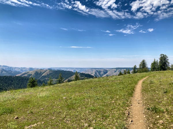
Mixed surface ride near the Eagle Cap Wilderness.
Difficult Gravel Biking
- Distance
- 47 km
- Ascent
- 1.1 km
- Descent
- 1.1 km
Out-and-back from Catherine Creek State Park to North Fork Catherine Creek Trailhead.
Gravel Biking Moderate

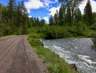
If you’re looking for an easy introduction to gravel biking in a beautiful setting, then this is the ride for you! With a paved warmup leading to a smooth gravel ride along a roaring mountain stream, it’s difficult to think of a more relaxed yet beautiful pedal this deep in the Wallowa mountains.
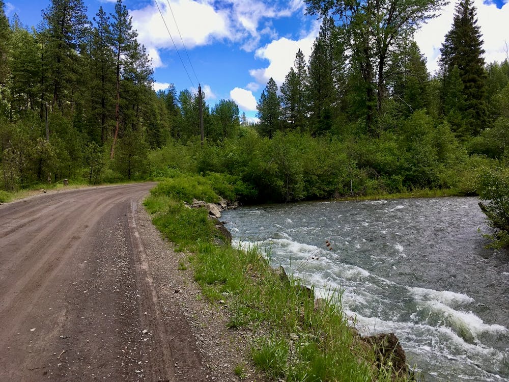
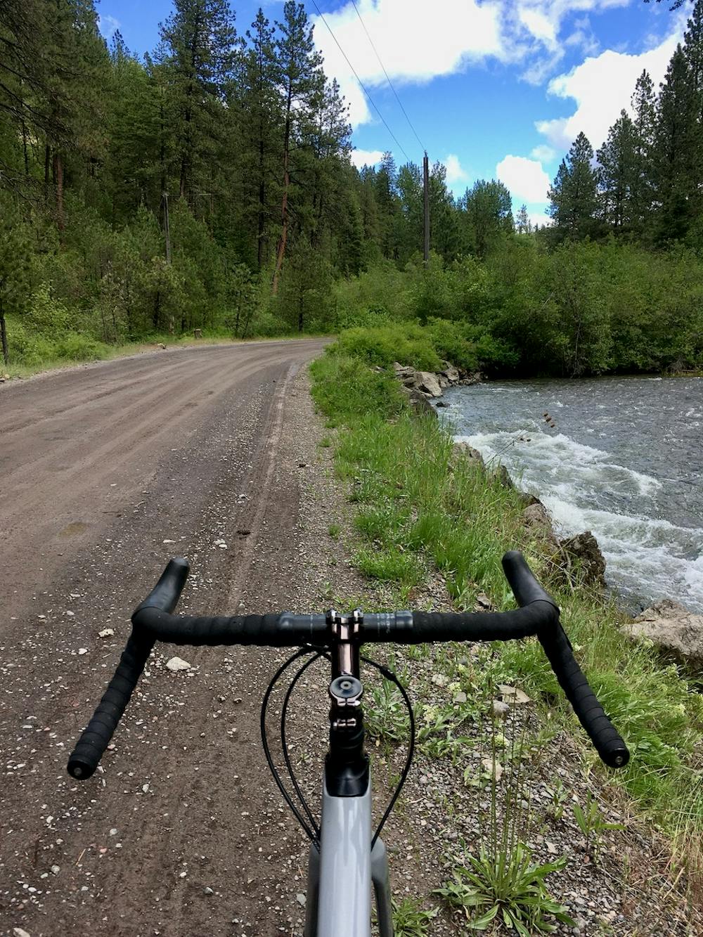
This mellow mixed surface ride begins from Catherine Creek State Park with a very mild paved climb. After turning left onto the gravel road towards the North Fork of Catherine Creek Trailhead, the climb gets a bit stiffer, but stays very manageable the entire way. The final push to the trailhead is the steepest portion, but with the correct drivetrain gearing its now problem at all.
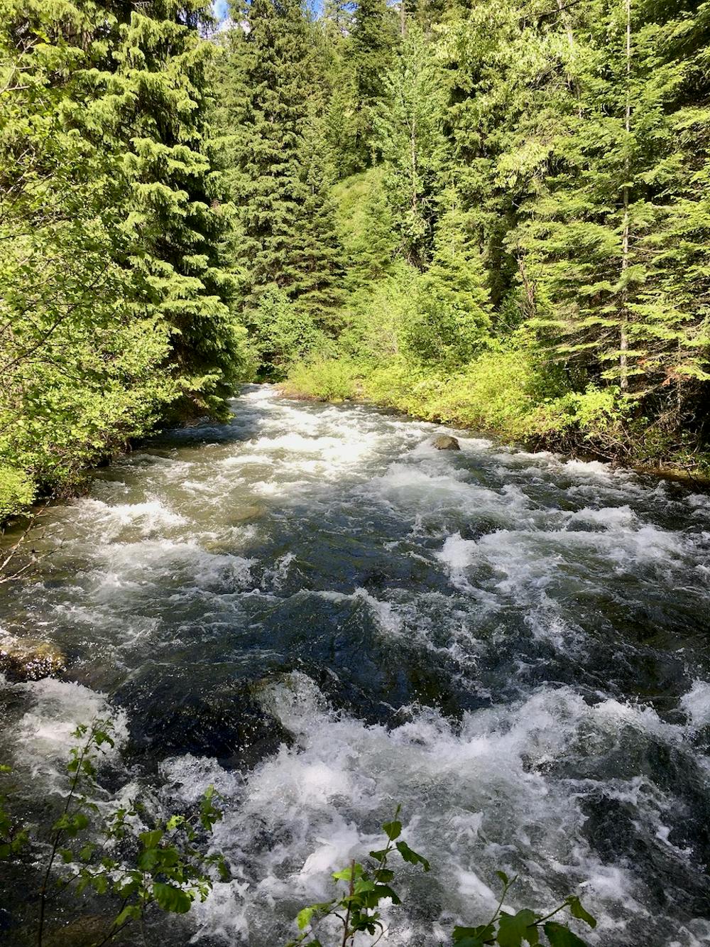
Even despite the lack of any major climbs over mountain passes, the scenery from this valley ride is still stunning! The towering pine trees of this Eastern Oregon forest soar overhead, and the roaring Catherine Creek provides a constant background soundtrack to your huffing and puffing. The undergrowth is dense, and even though you’re pedaling down a well-maintained gravel road, you’ll feel like you’re in the middle of absolutely nowhere!
Spur roads off of this main route provide the opportunity for additional mileage, although they’re all steeper and more challenging than the route as mapped.
Moderate

Away from help but easily accessed.
13 m away
Mixed surface ride near the Eagle Cap Wilderness.
Difficult Gravel Biking
18 routes · Mountain Biking · Gravel Biking · Hiking · Stand Up Paddle