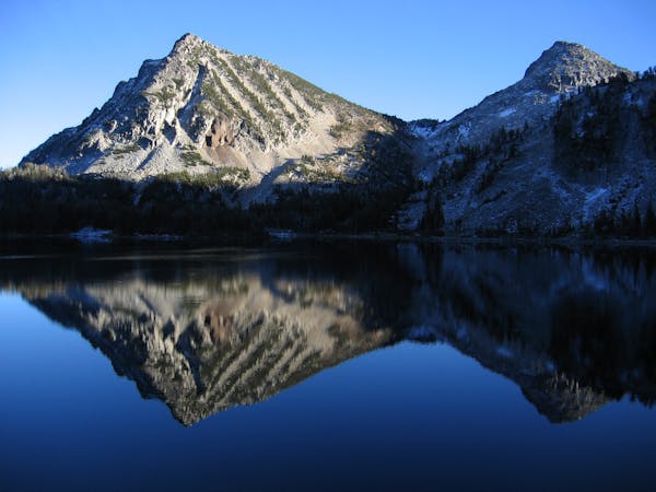
Minam Lake Trail Out-and-Back
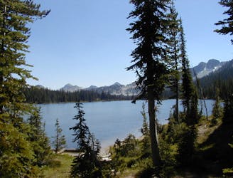
An easy out-and-back hike to Minam Lake
Moderate Hiking
- Distance
- 20 km
- Ascent
- 661 m
- Descent
- 661 m
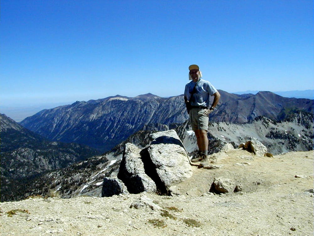
Climb to the peak of Eagle Cap
Hiking Severe

Most of the major summits in the Wallowa Mountains are buried deep in the Eagle Cap Wilderness, requiring lengthy approaches to reach their respective peaks. The eponymous Eagle Cap is no exception, requiring a 17.3-mile round-trip hike to reach the peak from the closest trailhead.
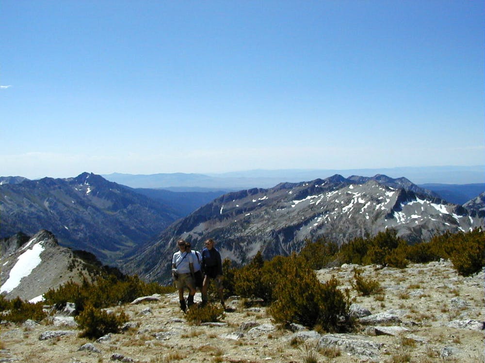
"Although the mountain is not the highest or most prominent within the region, it can be seen from many different valleys and peaks,” writes Redwic on SummitPost.org. The views of Eagle Cap above Lake Basin, and the 360-degree views from the summit, are some of the best in Northeast Oregon!
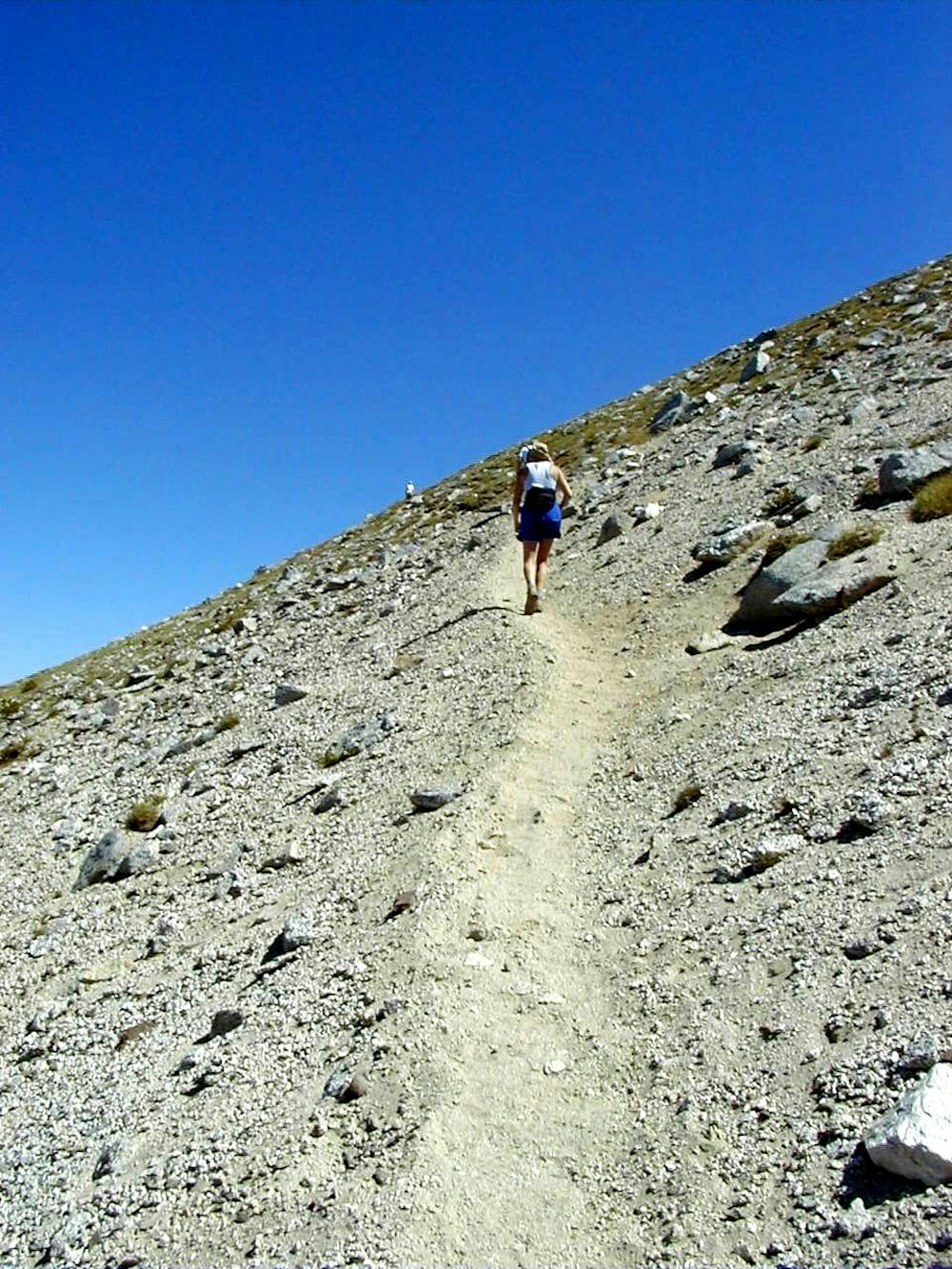
The route mapped here leads straight to the summit of Eagle Cap from the Two Pan Trailhead. Two Pan isn’t as popular of a trailhead as the one found at Wallowa Lake, but it provides a shorter route to the summit of Eagle Cap. You’ll begin with a slow but steady ascent along the East Fork of the Lostine River, gradually climbing up a mountain valley as you make for Mirror Lake. The trail is generally well-defined and easy to hike.
At the end of the valley, the trail climbs a steep set of switchbacks to reach Mirror Lake. But your climb to the summit has only just begun. If you’re approaching the Eagle Cap as a 3-day backpacking excursion, Mirror Lake offers a great spot for a basecamp. You could plan the approach to Mirror Lake as your first day of hiking, set up camp at the lake, climb the Eagle Cap and descend back to camp on the second day, and then hike back out on the third. That said, with just 4,300 feet of vertical gain, many hikers will consider the 17.3-mile distance achievable in a single day of hiking.
From Mirror Lake, the main ascent to the summit of Eagle Cap begins. Follow a relatively well-defined trail up the mountainside, making for the northwest ridge. Once on the ridge, follow the ridge and trail to the mountain summit! Once on top, be sure to savor the 360-degree views of the Eagle Cap Wilderness. As the largest wilderness area in Oregon, you are officially in one of the wildest and most remote locations in the Lower 48!
Severe
Hiking challenging trails where simple scrambling, with the occasional use of the hands, is a distinct possibility. The trails are often filled with all manner of obstacles both small and large, and the hills are very steep. Obstacles and challenges are often unexpected and can be unpredictable.

Some trail sections have exposed ledges or steep ascents/descents where falling could cause serious injury.

In the high mountains or remote conditions, all individuals must be completely autonomous in every situation.
An easy out-and-back hike to Minam Lake
Moderate Hiking
4 routes · Alpine Climbing · Hiking