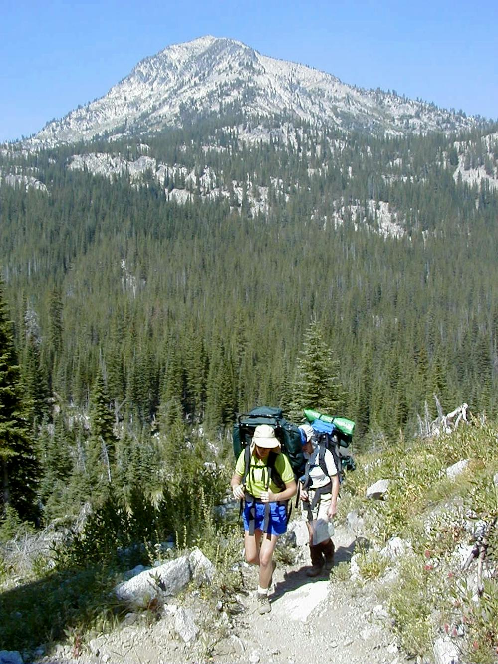
Eagle Cap Summit

Climb to the peak of Eagle Cap
Severe Hiking
- Distance
- 28 km
- Ascent
- 1.3 km
- Descent
- 1.3 km
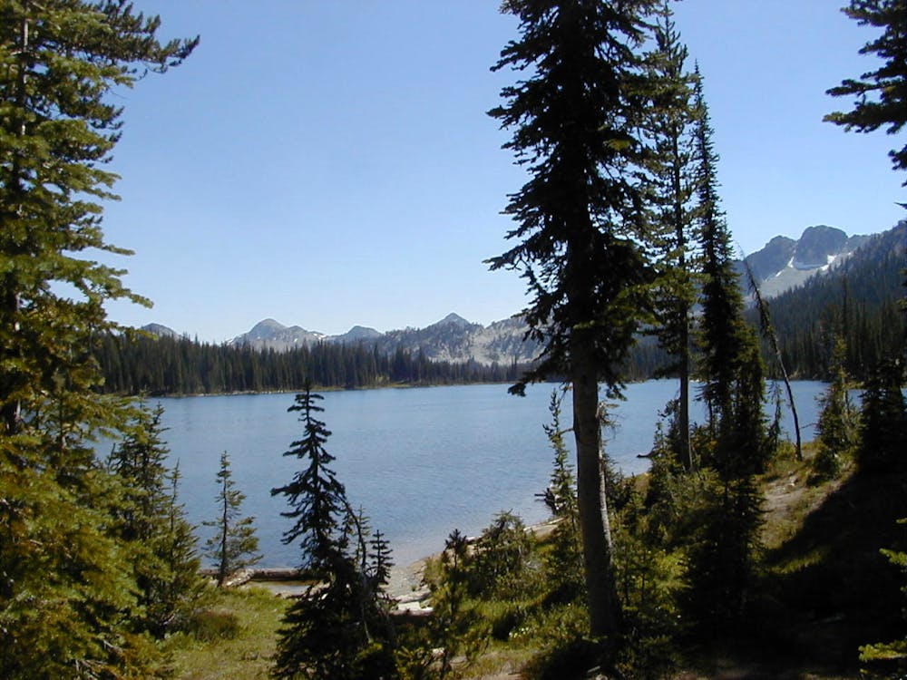
An easy out-and-back hike to Minam Lake
Hiking Moderate

The Minam Lake Trail begins from the Two Pan Trailhead and provides a mellow hike to the scenic Minam Lake. It begins by following the West Fork, slowly ascending a mountain valley on its way to the lake. The trail is well-defined and easy to walk.
Higher up the valley, you’ll have to ford the Lostine River/creek several times. During high runoff in the spring, these river crossings can prove to be challenging, or even dangerous. Always remember to undo the straps of your backpack when fording a rushing river.
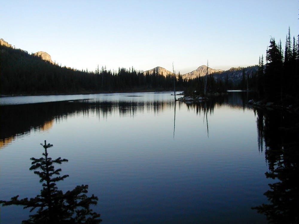
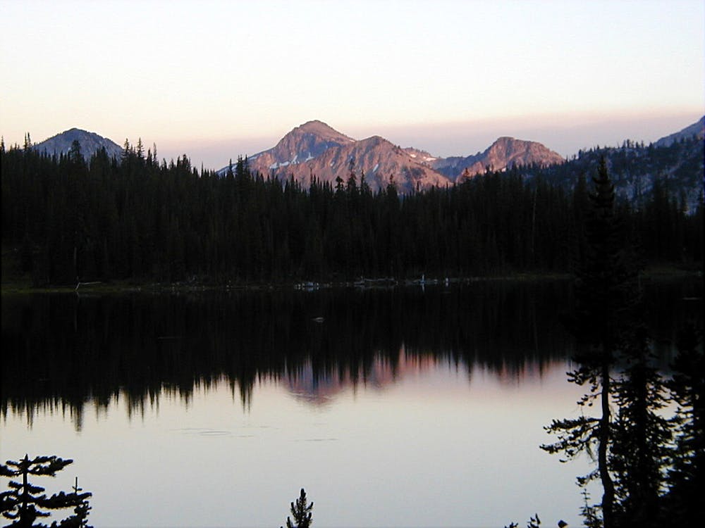
After the major river ford, “the trail opens up into a beautiful, lush valley,” according to Lusha on EvansOutdoorAdventures.com. After reaching the wide-open valley, it’s another 1.5 miles of hiking to reach Minam Lake. This section of trail is truly stunning, offering breathtaking views of the surrounding mountains!
For a bigger challenge, this trail can be combined with many other trails in the Eagle Cap Wilderness for an epic adventure! Most notably, the Minam Lake Trail makes a logical connection with the long-distance Minam River Trail, then providing a logical access to egress to that trail from a more accessible trailhead. Another possibility leads to Mirror Lakes to create a loop. Finally, consider carrying on past Minam Lake to reach Blue Lake for a medium-length hike in the wilderness that’s a bit more strenuous.
Moderate
Hiking along trails with some uneven terrain and small hills. Small rocks and roots may be present.

The trail contains some obstacles such as outcroppings and rock which could cause injury.

In the high mountains or remote conditions, all individuals must be completely autonomous in every situation.
Climb to the peak of Eagle Cap
Severe Hiking

4 routes · Alpine Climbing · Hiking