2 m away
Starvation Creek Waterfalls
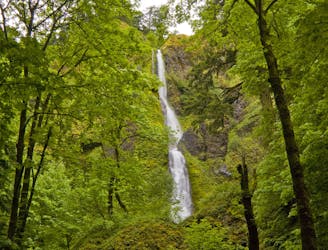
You'll get to enjoy not just one, not just two, but *four* incredible waterfalls on this short walk!
Moderate Hiking
- Distance
- 3.3 km
- Ascent
- 87 m
- Descent
- 87 m
Climb the highest point of the Columbia River Gorge.
Hiking Difficult

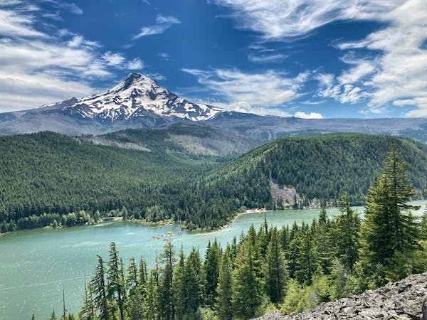
At 4,959 feet above sea level, Mount Defiance towers above the Columbia River Gorge. While dwarfed by nearby Mount Hood, Mount Defiance "is the highest point normally recognized as being part of the Columbia River Gorge," according to OregonHikers.org. The hike to the summit is a challenging 5.35-mile grunt that climbs close to 5,000 vertical feet, and is generally regarded as one of the most difficult day hikes in the region.
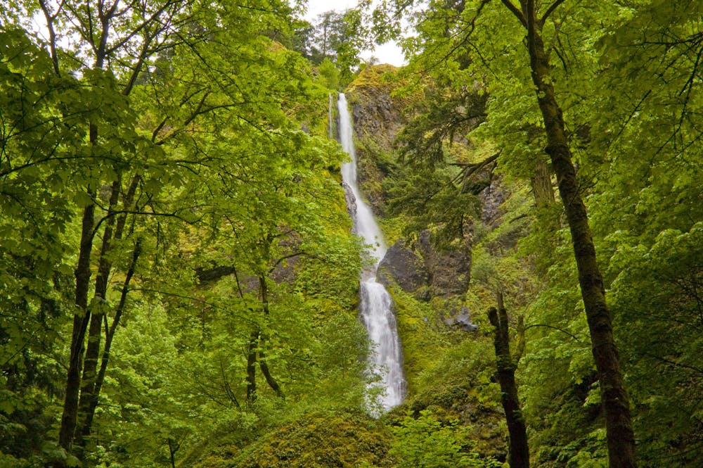
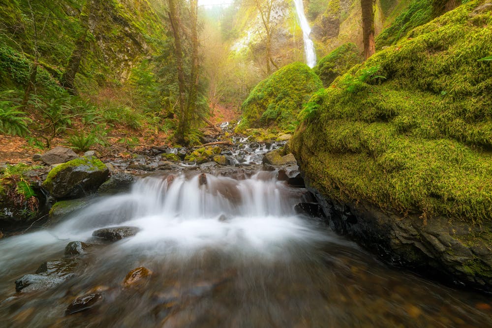
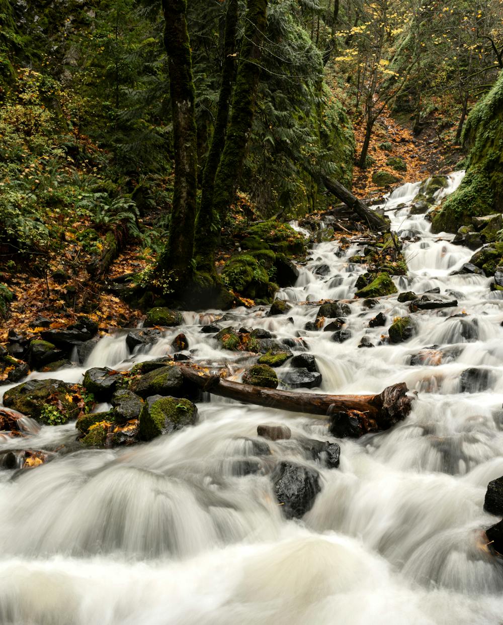
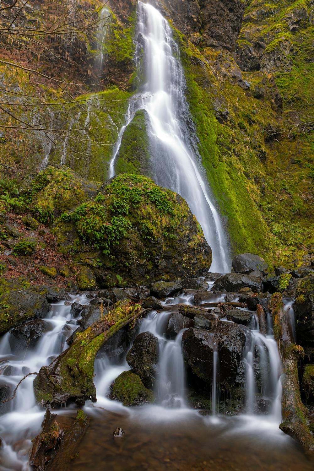
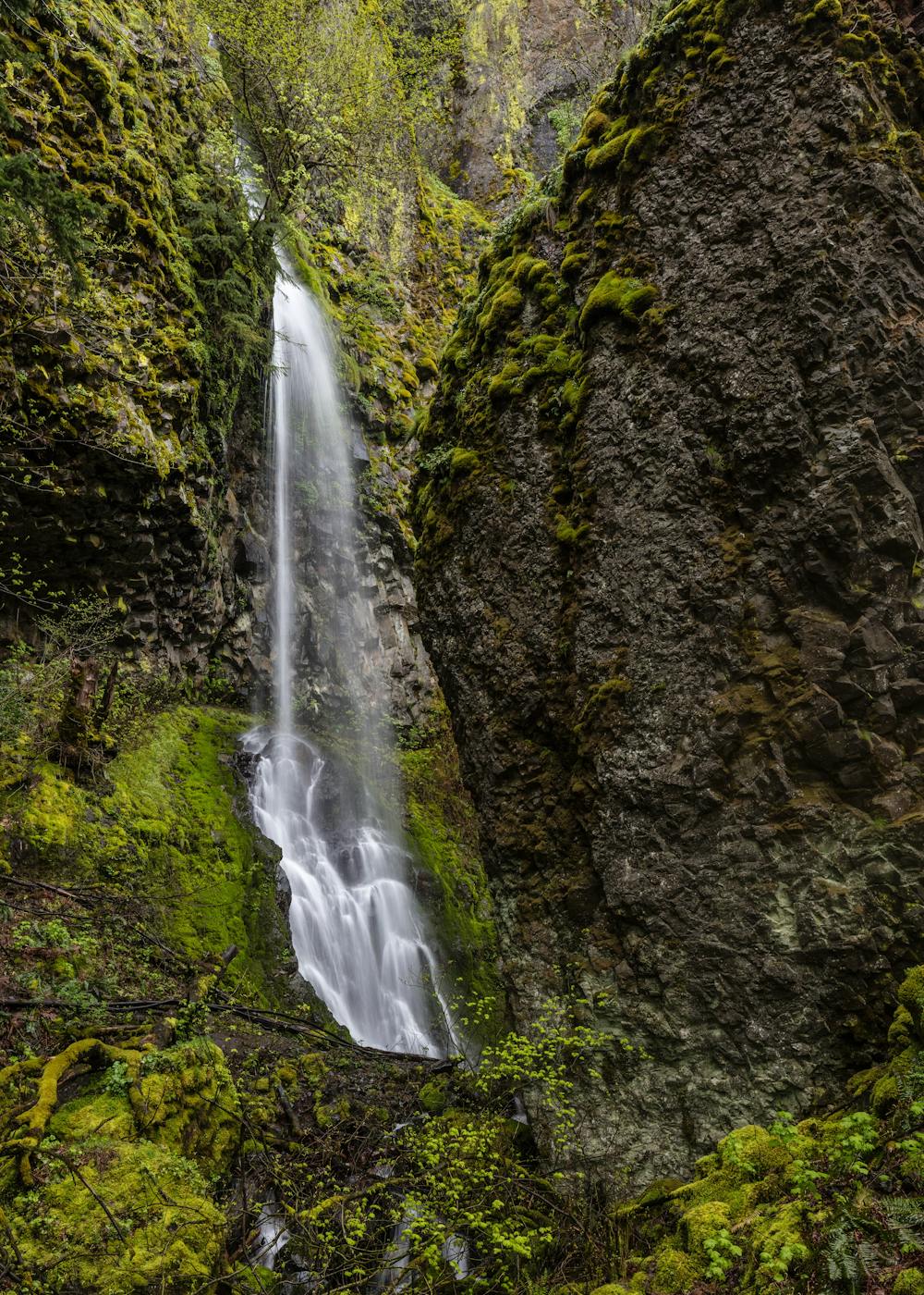
The hike begins by passing four incredible waterfalls near the Starvation Creek Trailhead: Starvation Creek Falls, Cabin Creek Falls, Hole-in-the-Wall Falls, and Lower Lancaster Falls. After passing Lower Lancaster, the trail continues traversing for a short way, and then suddenly, the climb begins in earnest.
You'll know you're into the main climb with you start grinding up a series of steep, stacked, switchbacked turns. This is the steepest part of the ascent, as you aim for the ridgeline high above. Through this series of switchbacks, you'll traverse a few burned zones—one from 2009 and one from 2017. However, the trail is still in good shape despite the fires. From these various burn scars, you'll enjoy tremendous views of the region! On a clear day, you'll be able to spot Mount Rainier, Mount Adams, Mount Saint Helens, Mount Hood, Chinidere Mountain, Indian Mountain, Tomlike Mountain, Larch Mountain, Dog Mountain, Wind Mountain, Cook Hill, and more along your hike.
After making the ridge, the climbing continues in earnest, although the grade mellows a bit. Keep grinding until you "reach the maintenance road for the Mount Defiance communication array," according to OregonHikers. Keep heading uphill, and aim for the radio towers on top of the mountain. While the radio towers may mar the natural appeal of the summit, this is still an absolute stunner of an epic hike!
"The best lunchtime spot is a perch on the slope of large boulders on the south side of the summit area. Gawk at an expansive vista towards Mount Hood for as long as you like," notes OregonHikers. Once done on the summit, head back down the mountain the same way you climbed up.
Sources: FS.USDA.gov OregonHikers.org
Difficult
Hiking trails where obstacles such as rocks or roots are prevalent. Some obstacles can require care to step over or around. At times, the trail can be worn and eroded. The grade of the trail is generally quite steep, and can often lead to strenuous hiking.

The trail contains some obstacles such as outcroppings and rock which could cause injury.
Away from help but easily accessed.
2 m away
You'll get to enjoy not just one, not just two, but *four* incredible waterfalls on this short walk!
Moderate Hiking
10 routes · Hiking