2 m away
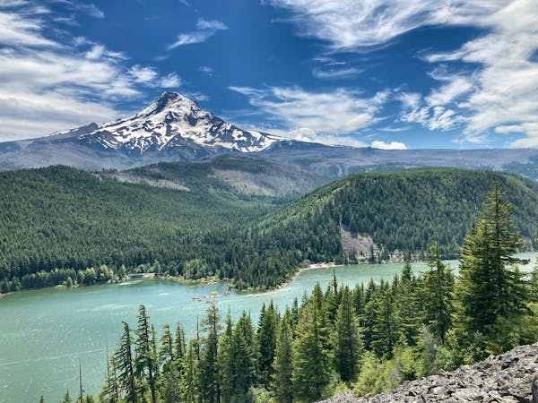
Mount Defiance
Climb the highest point of the Columbia River Gorge.
Difficult Hiking
- Distance
- 17 km
- Ascent
- 1.5 km
- Descent
- 1.5 km
You'll get to enjoy not just one, not just two, but *four* incredible waterfalls on this short walk!
Hiking Moderate
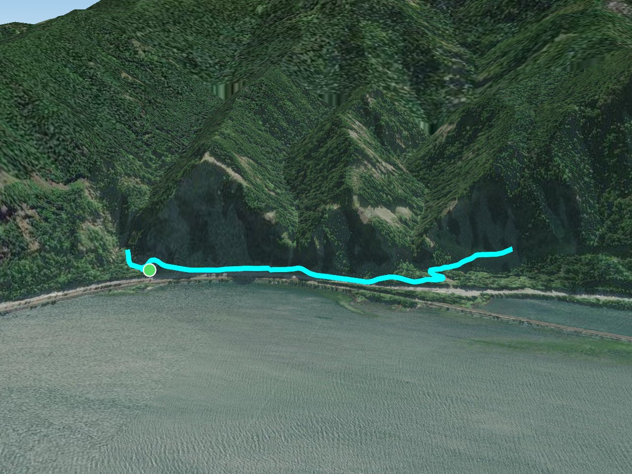
This short 2-mile round-trip hike offers an incredible view-to-effort ratio. You'll get to enjoy not just one, not just two, but four incredible waterfalls on this short walk!
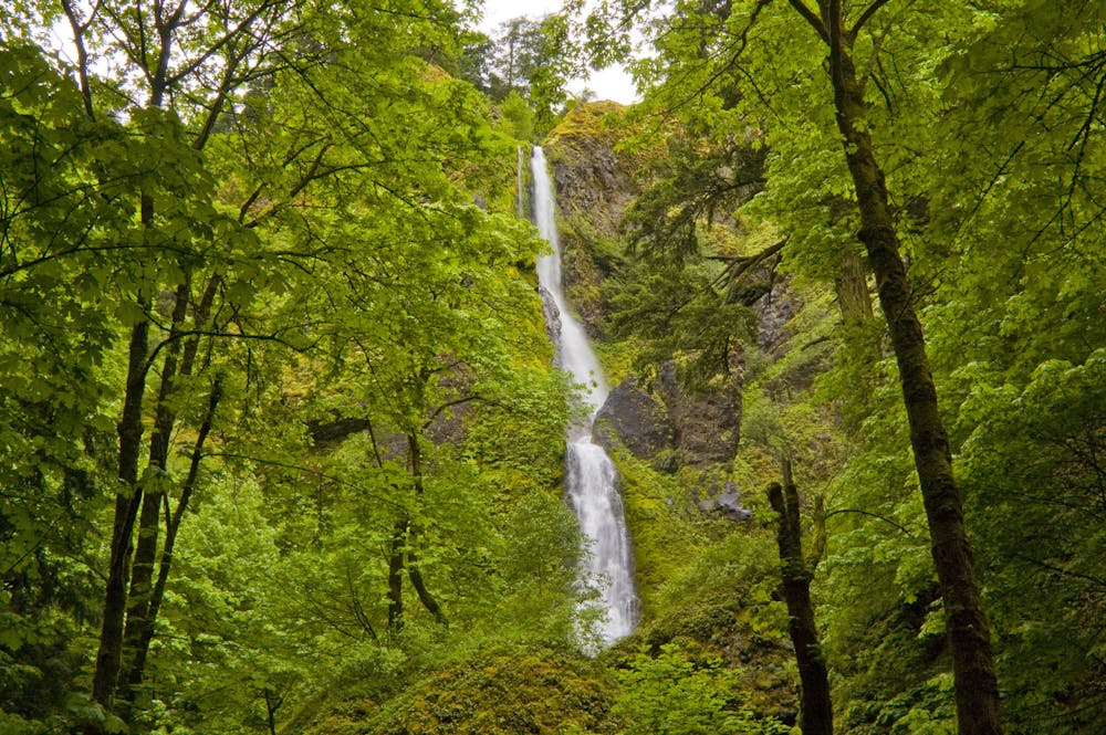
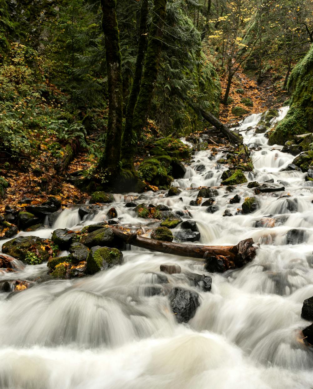
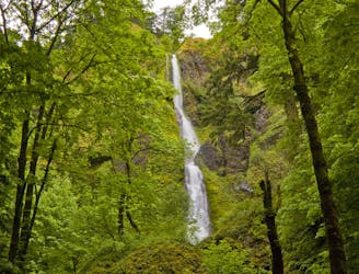
The hike begins from a rest area directly off of I-84, which means that, unfortunately, the traffic noise from the interstate does mar some of the natural beauty. However, the 190-foot two-tiered Starvation Creek waterfall right at the start helps make up for it!
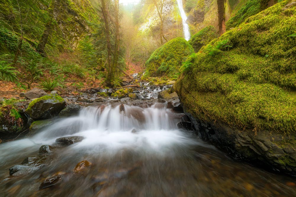
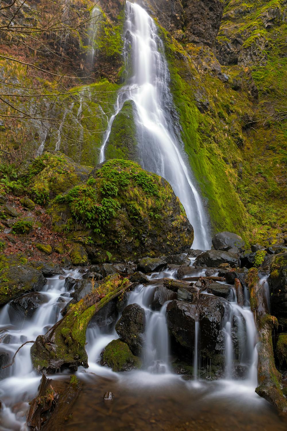
As you continue walking along the mostly-flat, easy trail, you'll soon pass Cabin Creek Falls on the left. Along the way, you'll get to walk across the Warren Creek Bridge. Built in 2016, this incredible span "emulates the style of the old highway bridges," according to OregonHikers.org.
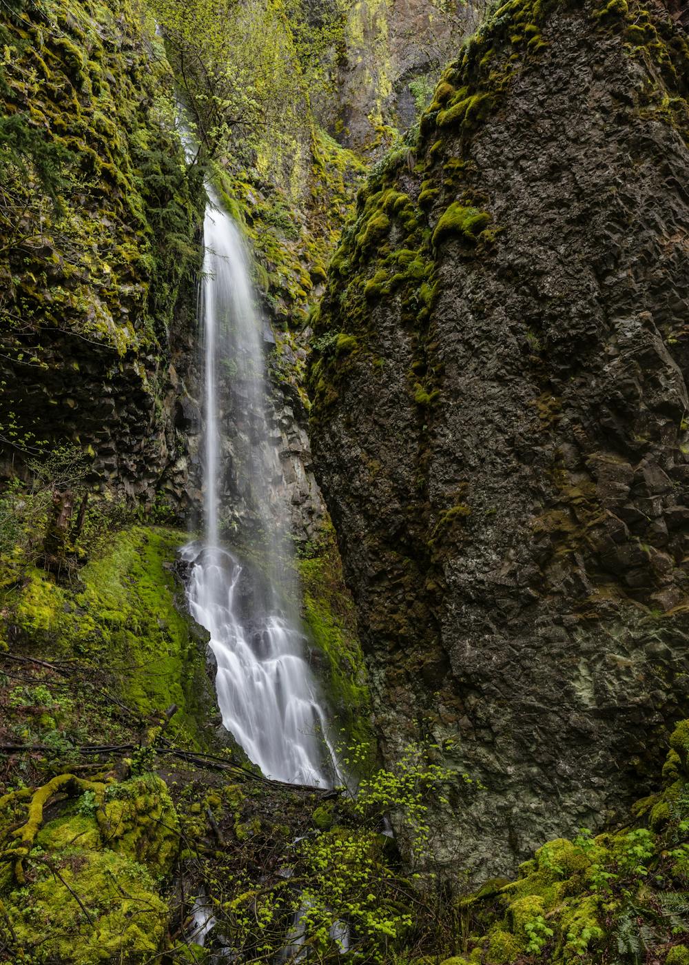
Around the time you pass Hole-in-the-Wall Falls, you'll begin a short climb to reach the final waterfall of the hike: Lower Lancaster Falls. While Lower Lancaster Falls "seems small at first glance, . . .from the right angle, the tall 250-foot upper tier is visible through the trees," writes OregonHikers.org.
Once you're done enjoying these incredible waterfalls, retrace your steps back to your car.
Sources: GorgeFriends.org OregonHikers.org
Moderate
Hiking along trails with some uneven terrain and small hills. Small rocks and roots may be present.

The path is on completely flat land and potential injury is limited to falling over.
Close to help in case of emergency.
2 m away
Climb the highest point of the Columbia River Gorge.
Difficult Hiking
10 routes · Hiking