5.3 km away
Ramona Falls Loop
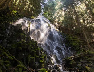
Hike through dense forest and ford a glacial stream, to find a waterfall within the Mount Hood Wilderness.
Moderate Hiking
- Distance
- 12 km
- Ascent
- 320 m
- Descent
- 320 m

Miles 2114.2-2146.9 of the northbound PCT: Finishing the state of Oregon with a winding ridge walk, then a grueling descent to the Columbia River at the Washington border, and the lowest elevation on the PCT.
Hiking Difficult

This northern stretch of OR Section G continues onward from Mount Hood, through the last of Oregon’s Cascades to meet the border with Washington. Here the PCT more or less follows one sinuous ridgeline from Lolo Pass to the edge of the Columbia Gorge. It’s mostly flat, but sometimes rugged walking for the majority of the way. But then the trail must reach the river, and it plummets in a punishing descent of nearly 4000 feet, with 3000 of that happening in just 4 brutal miles. Southbound hikers would, of course, trudge up this incline rather than down, but either way, “The Gorge” presents one of the most dramatic elevation swings anywhere on the PCT.
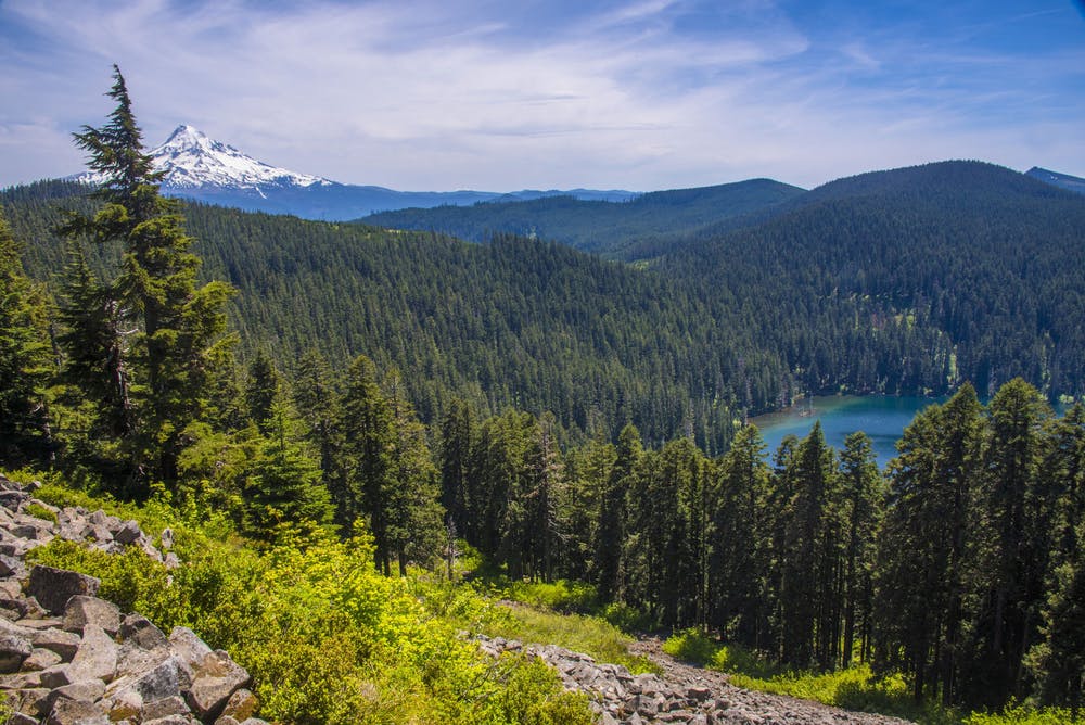
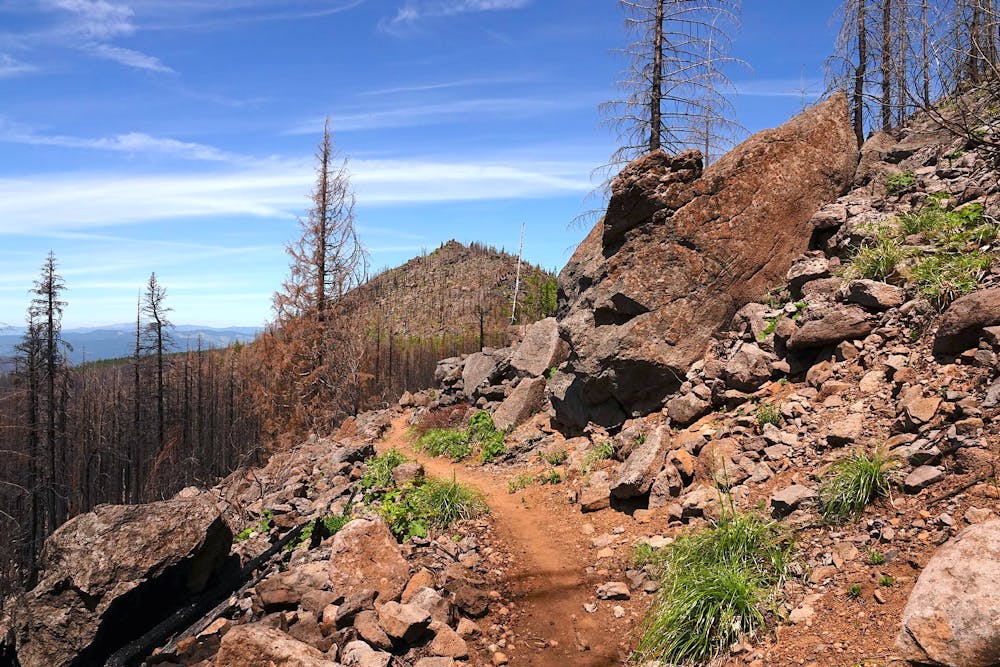

From the road, at Lolo Pass (NB mile 2114.2) the PCT goes uphill and crosses a broad powerline clearing with a terrific view of Mount Hood’s north side. Returning to the trees, the trail begins its long contour along the ridge. Water might be found just past the powerline in a seasonal stream (NB mile 2114.6). Otherwise, it’s a few more miles to Salvation Spring (NB mile 2118.6).
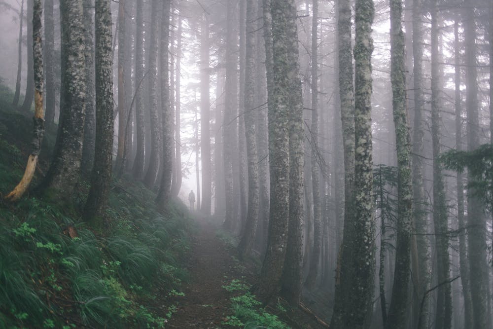
Through gaps in the canopy, you might glimpse Lost Lake far below, but for the most part, the trail remains in a green tunnel for the first several miles. After rounding Buck Peak and sighting the circular Blue Lake (NB mile 2122), however, views become more frequent from talus-field clearings. Mount Hood still dominates the horizon to the south, and the volcanoes of Washington appear in the north.
Indian Springs (NB mile 2127.6) is a prime spot to rest or camp for the night. There’s a piped spring and plenty of tent sites in an abandoned Forest Service campground. This is also where the Eagle Creek alternate departs the PCT and heads down into the gorge. From Indian Springs, the PCT passes near a dirt road then turns downhill to Wahtum Lake, which makes another fine place to spend the night.
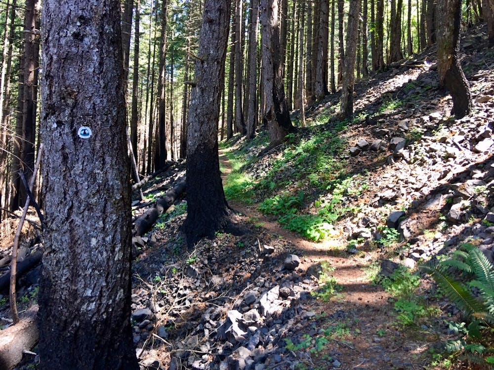
There’s a primitive campground at Wahtum (NB mile 2130.6), bwith well-spaced sites by the timbered shore, and a car campground up the hill nearby. The trail then makes an arcing ascent away from the lake, and regains the ridgeline to soon enter the Eagle Creek burn area. The recently repaired trail leads among skeleton trees and regenerating growth, with views into gorges on both sides of the ridge.
Intact forest returns on the Benson Plateau—a flat expanse with tempting campsites but no water. The next source is Teakettle Spring (NB mile 2139), which comes just as the trail tips into the Columbia Gorge. The river, occasionally visible through the trees, still lies thousands of feet below. The trail takes a knee-jarring descent through varied forest, among broken cliff bands, into rocky gullies, and overflowing streams to eventually reach a road in the town of Cascade Locks (NB mile 2146.7).
The road leads beneath the interstate, then a signed footpath branches toward the entrance to the Bridge of the Gods. This toll bridge is free for pedestrians, but hikers must share the narrow steel roadway with vehicles. Try to enjoy the airy walk above the Columbia River, and the crossing from Oregon to Washington. This is also the lowest elevation anywhere along the PCT, at just 140 feet above sea level.
Permits: This segment is in Mt. Hood National Forest and passes through some areas of designated wilderness. The wilderness requires a permit for entry, but these are self-issued for free at trailheads. Hikers are responsible for knowing and following all regulations that apply. Parking at trailheads may also require a day-use fee or the Northwest Forest Pass.
Sources: https://www.fs.usda.gov/recarea/mthood/recarea/?recid=79438 https://www.fs.usda.gov/recarea/crgnsa/recarea/?recid=79450 https://pctmap.net/trail-notes/ https://pctwater.com/
Difficult
Hiking trails where obstacles such as rocks or roots are prevalent. Some obstacles can require care to step over or around. At times, the trail can be worn and eroded. The grade of the trail is generally quite steep, and can often lead to strenuous hiking.
5.3 km away

Hike through dense forest and ford a glacial stream, to find a waterfall within the Mount Hood Wilderness.
Moderate Hiking
7 routes · Hiking
72 routes · Hiking
10 routes · Hiking