The hike to Pilot Rock that you'll find mapped here gets a "Difficult" FATMAP rating, but you can turn this into an "Extreme" scramble if you so desire. I'll explain in more detail below.
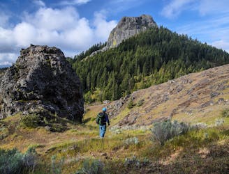
First, the route as mapped follows a mellow trail from the parking lot, slowly gaining elevation toward a junction with the PCT. The route turns left on the PCT and then right toward Pilot Rock.
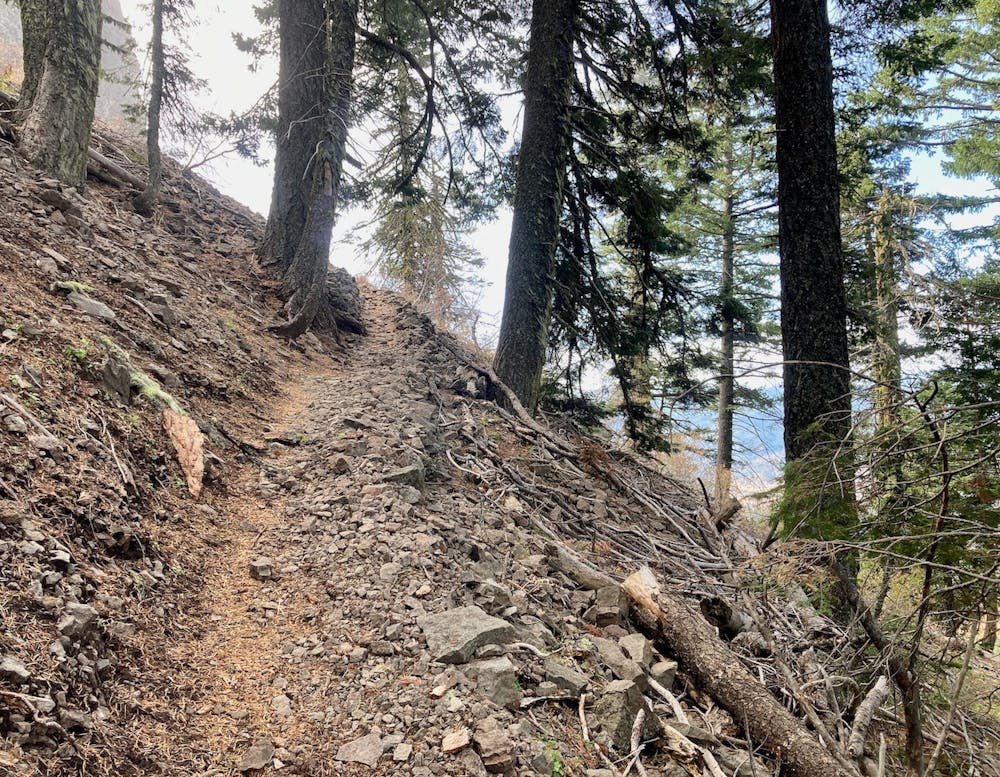
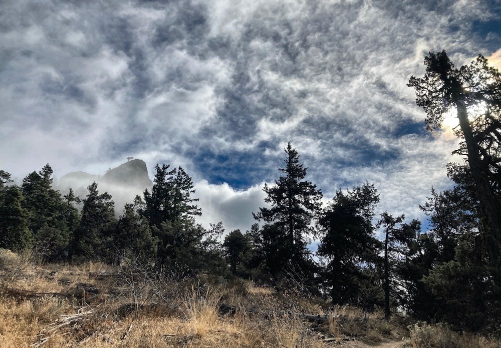
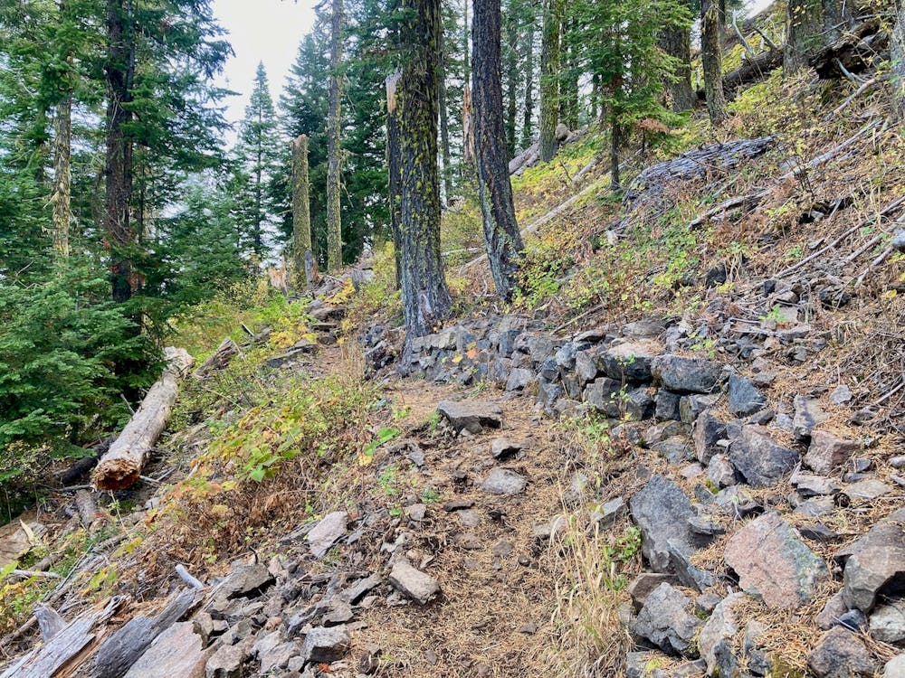
After departing the PCT, the trail gets significantly steeper and more difficult. The singletrack narrows and climbs a steep set of rocky switchbacks. You'll see your goal above you, as Pilot Rock itself appears through the trees.
The approach to the rock isn't long, and before you know it, you'll be standing at the base of the rock.
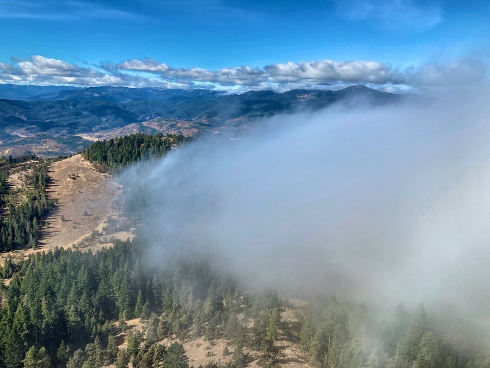
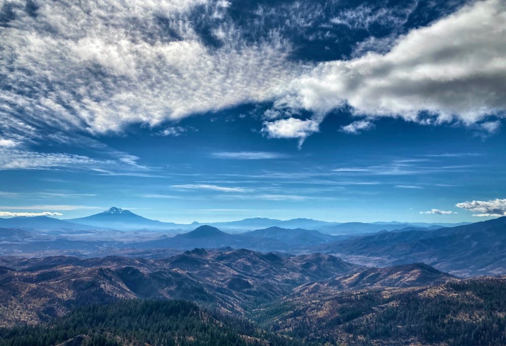
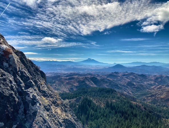
To reach incredible views of the region, including jaw-dropping views of Mount Shasta, you can climb toward the base of the rock and then traverse right along the base to peek around the corner. Take care as the corner itself is very exposed, but you can gain stunning views of the region without too much difficulty.
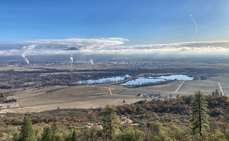
You can see for hundreds of miles from the top of Pilot Rock. The views stretch on forever! This is the perfect spot to enjoy a snack and just soak in the grandiose views.
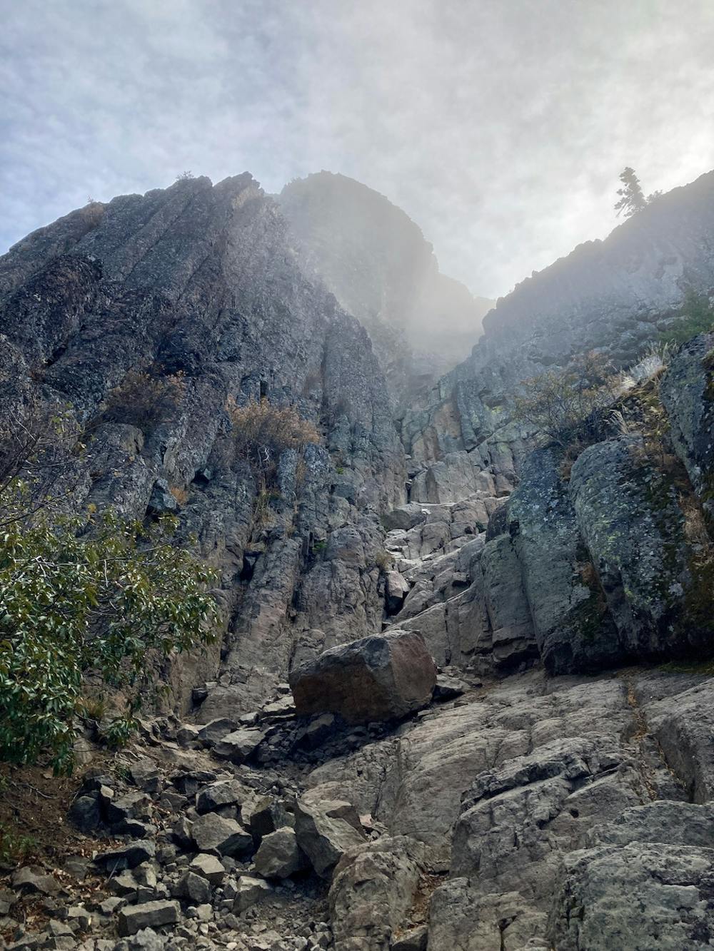
If you want to reach the very top of the rock, then things get tricky and would warrant an "Extreme" FATMAP rating. The scramble to the top is "a Class 3–4 rock climb, and should only be attempted during dry conditions," according to OregonHikers.org. The scramble route to the top follows the obvious chute. Inside the chute are several narrow notches, requiring some significant rock climbing moves. This scramble is no joke.
Remember that going back down is always more difficult than climbing up. As you head back down the chute, OregonHikers cautions you to "go very slowly because there is an enormous amount of loose rock. One misstep here could cost you your life."