1 m away
Waterfall Trail Loop: Sahalie Falls and Koosah Falls
This spectacular loop hike offers a multitude of views of two of Oregon's most beautiful waterfalls.
Moderate Hiking
- Distance
- 3.9 km
- Ascent
- 143 m
- Descent
- 143 m
This short but sweet hike offers spectacular views of two of Oregon's most beautiful waterfalls.
Hiking Moderate

Sahalie Falls and Koosah Falls are two of the most spectacular waterfalls in this part of Oregon, and this short out-and-back hike visits both of them!
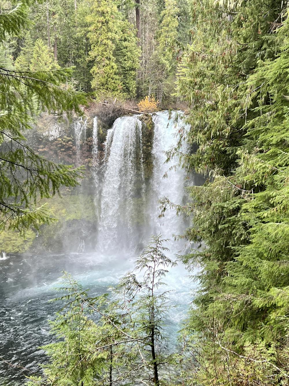
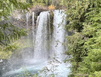
The hike begins from the Sahalie Falls viewpoint, where you'll enjoy views of the Sahalie immediately. This waterfall is about 75 feet tall (although some interpretive signs may exaggerate its height to 100 feet), but the thundering water pouring over a restricted cleft in a lava ledge is absolutely impressive! It pounds into a pool below, with the mist from the crashing water nourishing the moss that covers the lava rock around the pool.
After enjoying the initial viewpoint, it's time to get hiking! You'll begin by hiking downhill toward Koosah Falls, descending a combination of rough steps, roots, and rocks. The footing on these wooden steps, roots, and rocks is often very slippery due to the mist from the falls and the constant precipitation here in the rainforest. The dirt is also often muddy, so take care on the descent.
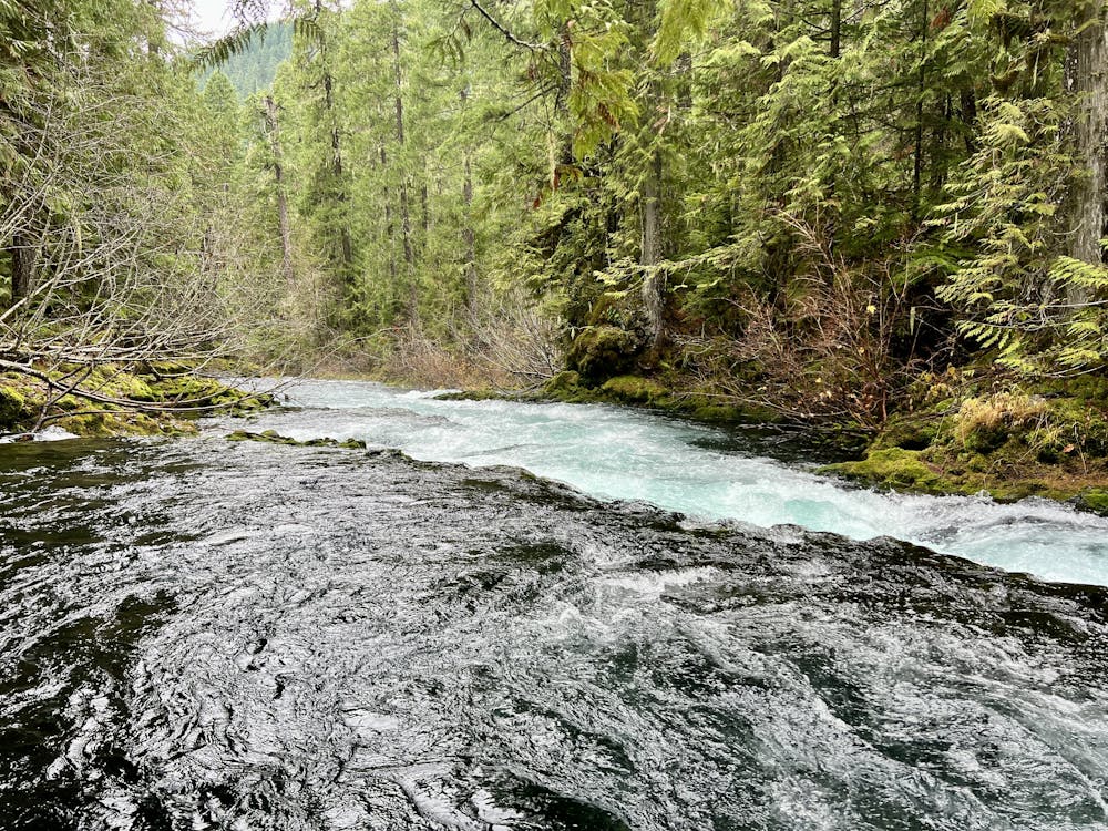
As you walk down the banks of the McKenzie River, be sure to stop and appreciate the towering canopy of Douglas-fir, western hemlock, and western red-cedar. You'll also get to enjoy numerous rapids and minor falls before reaching Koosah Falls.
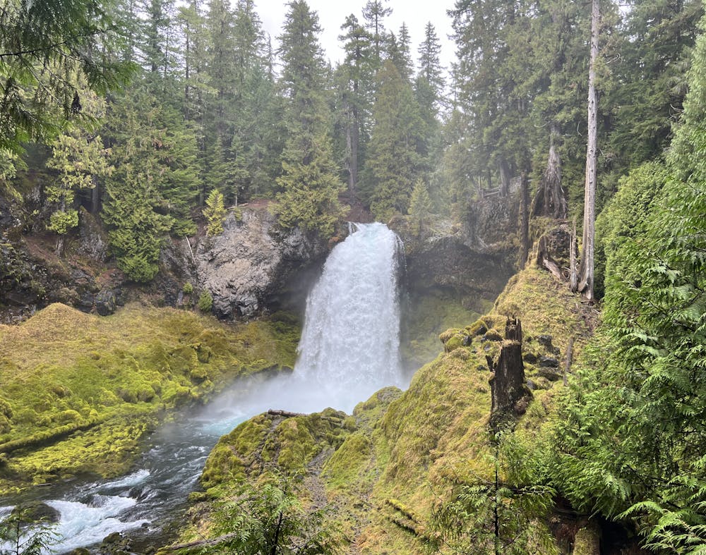
Koosah has a variable appearance depending on the time of year, ranging from two separate streams in drier months to a single 70-foot-wide plunge during full flow in the springtime. The falls drops about 70 feet into a beautiful pool below.
This is your turn around point, and from here you'll retrace your steps back up river. As you hike back, you'll realize how much you've descended—be sure to save some energy for this return trip.
If this 1-mile out-and-back hike isn't enough for you, you can turn this trail into a 2.4-mile loop by using the McKenzie River Trail on the opposite side of the river. For more information on the loop option, be sure to read this route description.
Moderate
Hiking along trails with some uneven terrain and small hills. Small rocks and roots may be present.

The trail contains some obstacles such as outcroppings and rock which could cause injury.
Away from help but easily accessed.
1 m away
This spectacular loop hike offers a multitude of views of two of Oregon's most beautiful waterfalls.
Moderate Hiking