1.5 km away
Salmon Creek Out-and-Back
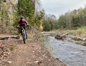
The perfect beginner trail!
Easy Mountain Biking
- Distance
- 13 km
- Ascent
- 140 m
- Descent
- 140 m
One of the best loop rides from downtown Oakridge.
Mountain Biking Moderate

Larison Rock is one of the few singletrack trails that ends right in the town of Oakridge. Thanks to a direct and largely traffic-free road to the top, Larison provides one of the best loop ride options from downtown... if you don't mind climbing on pavement. Alternatively, it's a fast and easy shuttle to run, whether on the commercial shuttle with Cog Wild or by setting up your own shuttle.
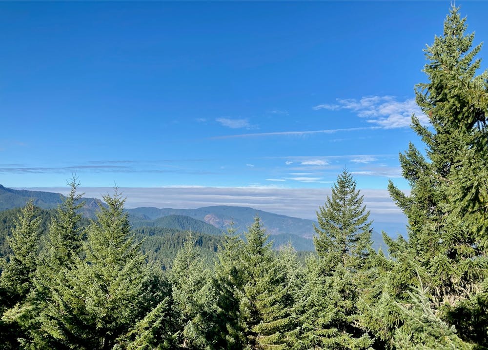
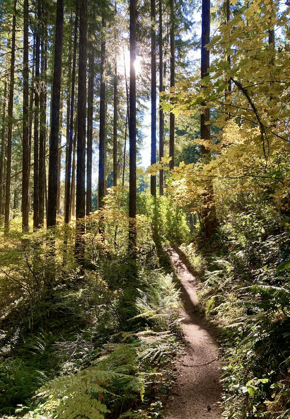
After pedaling up the pavement, the route mapped here depicts an optional out-and-back to the very top of the Rock. Since the additional jaunt to the viewpoint is so short, it's quite recommended as you'll easily gain an admirable view over the region.
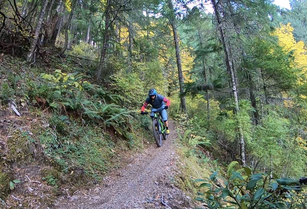
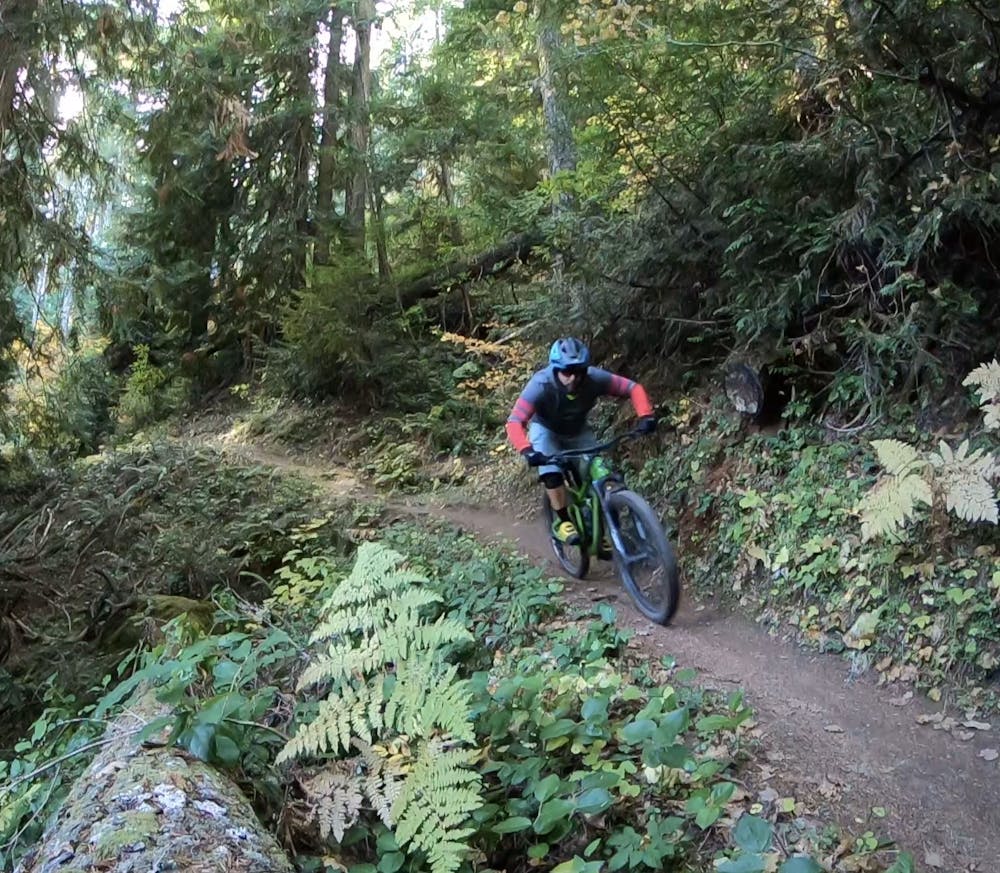
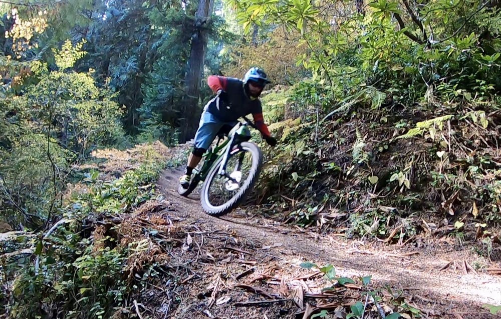
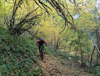
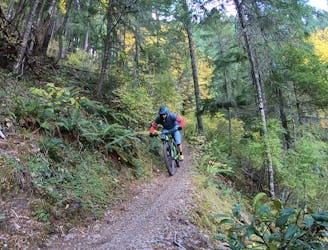
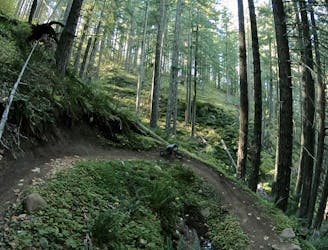
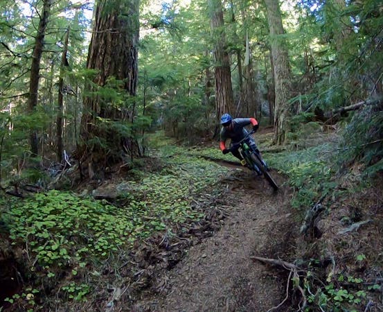
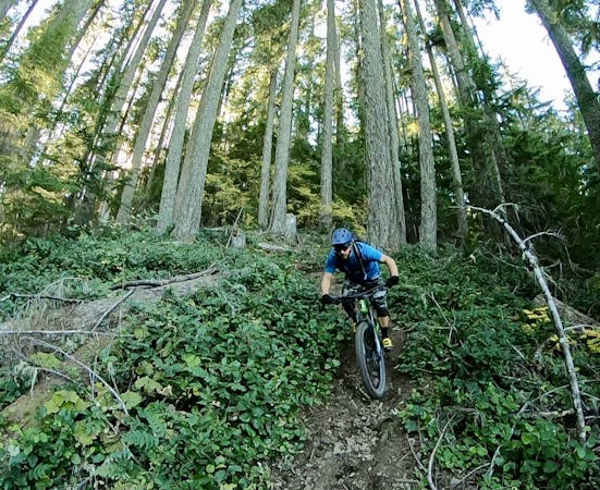
The Larison Rock Trail itself isn't technical or overly challenging, but it is fast, flowy, and feels relatively steep! The sensation of steepness is mostly a result of the speed of the trail. When you actually stop and analyze the trail corridor, it's nowhere near as steep as other trails in the area, especially Eula Ridge.
The respectably long sightlines combined with the smooth trail tread allow riders to absolutely fly down the mountain! This short 3-mile descent can blur by in minutes, but the rush of the ride is unparalleled and absolutely worth it!
Do keep an eye out for the exposed sections of bench cut trail, which can sneak up on you as you round some corners. While you'll never tumble too far down the mountain, some portions of the trail bench are relatively exposed, and flying off the trail wouldn't be pleasant! Finally, do ride heads-up for potential uphill traffic from hikers, or possibly bikers. Larison Rock is technically a bi-directional multi-use singletrack trail.
Moderate
Mostly stable trail tread with some variability, with unavoidable obstacles 8in/20cm tall or less. Other obstacles such as rock gullies and steep sections may exist. Ideal for lower intermediate riders.

The trail contains some obstacles such as outcroppings and rock which could cause injury.
Away from help but easily accessed.
1.5 km away
The perfect beginner trail!
Easy Mountain Biking
1.5 km away
An overgrown but rewarding trail!
Severe Mountain Biking
3.3 km away
A short, fast, flowy shuttle that ends directly on the outskirts of Oakridge.
Moderate Mountain Biking
3.8 km away

Score beautiful views of the North Fork of the Willamette River.
Difficult Mountain Biking
6 km away
Flowy intermediate-friendly shuttle run.
Moderate Mountain Biking
10 routes · Mountain Biking

20 routes · Mountain Biking
6 routes · Mountain Biking
5 routes · Mountain Biking · Hiking · Trail Running