Jabberwocky Loop
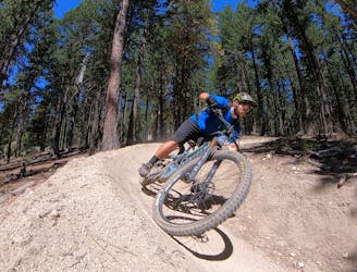
A flowy romp on Ashland's classic trail!
Moderate Mountain Biking
- Distance
- 10 km
- Ascent
- 421 m
- Descent
- 421 m
A short old school singletrack loop.
Mountain Biking Moderate

The Snark Trail is one of the only multi-use multi-directional trails in the Mt. Ashland Watershed. Most of the other trails in the region are designated for either mountain bikers or hikers, and most of the mountain bike trails are downhill-only.
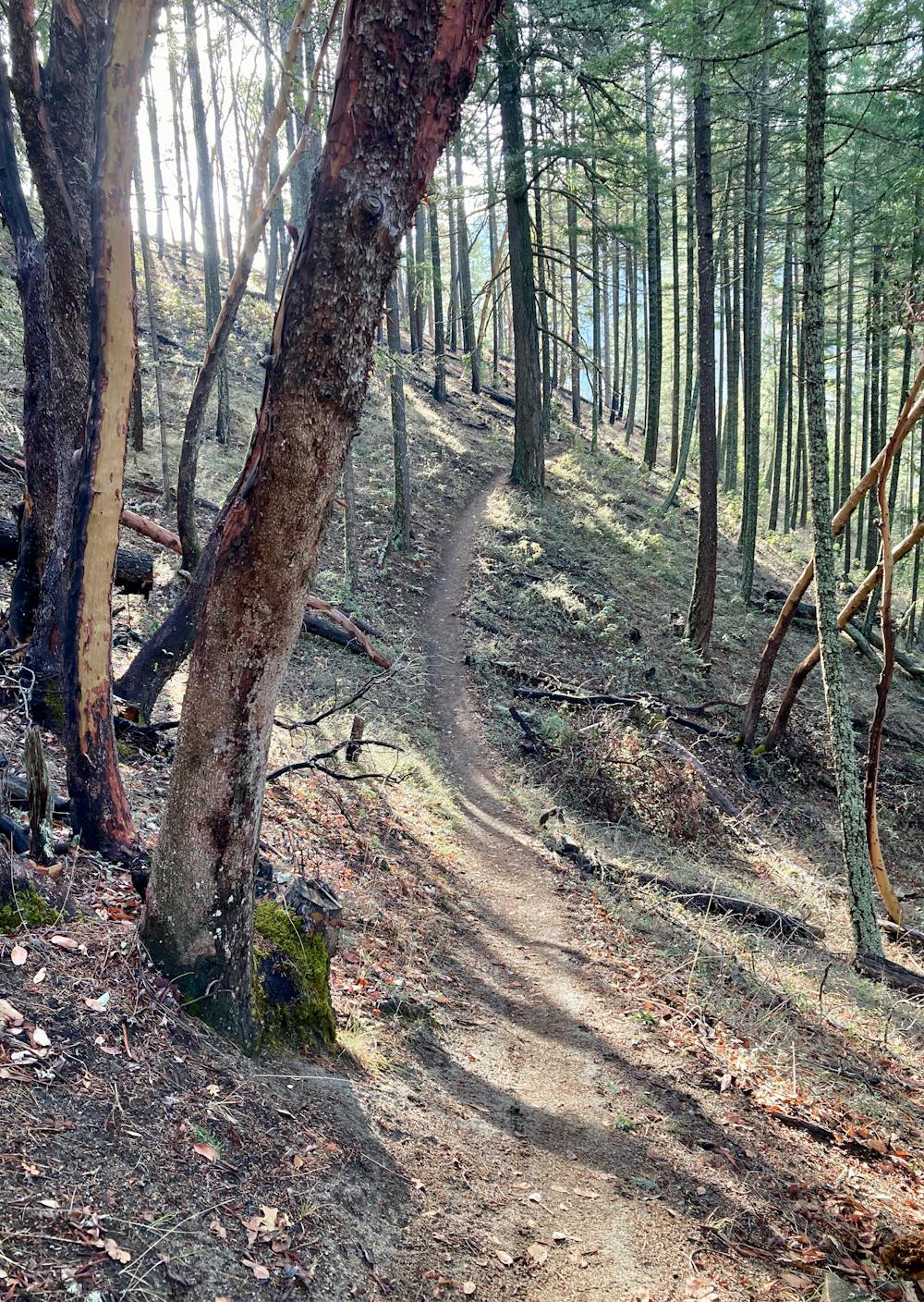
As a result, Snark provides a tight, old school singletrack ride quality with a few tricky roots and narrow benchcut singletrack. The ride mapped here is a pretty quick loop, but it provides a much different ride characteristic than the high-speed berms of Jabberwocky and BTI.
The route mapped here begins with the standard climb up the dirt road, but then gains the ridge on Jub Jub. Then, you'll have to connect through Red Queen to access Snark. While most of the Red Queen trail is off-limits to bikes, this connection through to Snark is indeed bike-legal. However, the trail signage in this zone isn't very good—be sure to reference this route on FATMAP.
Once on Snark, you'll get to enjoy the fruits of your (admittedly short-lived) labor. The smooth, serpentine singletrack snakes along the hillside, running through a beautiful forest tucked back into the watershed. The lower sections of the trail provide beautiful views of Ashland Creek tumbling below you.
This ride is over all too quickly, so consider combining Snark with other trails in the area, as potentially an alternative finish to the Jabberwocky Loop.
Moderate
Mostly stable trail tread with some variability, with unavoidable obstacles 8in/20cm tall or less. Other obstacles such as rock gullies and steep sections may exist. Ideal for lower intermediate riders.

The path is on completely flat land and potential injury is limited to falling over.
Close to help in case of emergency.
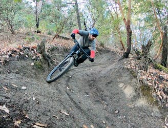
A flowy romp on Ashland's classic trail!
Moderate Mountain Biking
2.3 km away
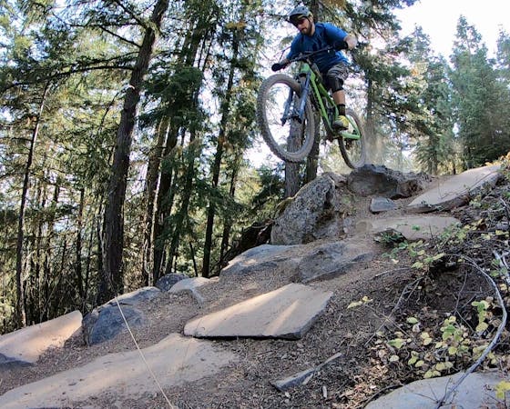
Beautiful singletrack up high leads to a ho-hum trail down low.
Moderate Mountain Biking
13 routes · Mountain Biking

52 routes · Mountain Biking · Freeride Skiing · Gravel Biking · Hiking · Road Biking