2.3 km away
Jabberwocky Loop
A flowy romp on Ashland's classic trail!
Moderate Mountain Biking
- Distance
- 10 km
- Ascent
- 421 m
- Descent
- 421 m
Beautiful singletrack up high leads to a ho-hum trail down low.
Mountain Biking Moderate

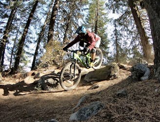
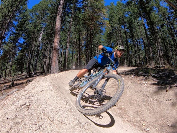
White Rabbit is one of the few bi-directional multi-use trails in the Mt. Ashland watershed. Most of the other trails in the region are designated for either mountain bikers or hikers, and most of the mountain bike trails are downhill-only. Consequently, if you're going to descend White Rabbit, be sure to ride a bit slower and expect uphill traffic.
While the bi-directional nature of the trail might make it seem like the perfect candidate as an out-and-back ride, the steep climb if ridden from the bottom is a real grunt that's not much fun. However, White Rabbit can easily be accessed from the more popular shuttle runs on Mt. Ashland, at the junction with Caterpillar. Thus, it makes for a great descent option if you're looking for a change from the classic Jabberwocky or BTI.
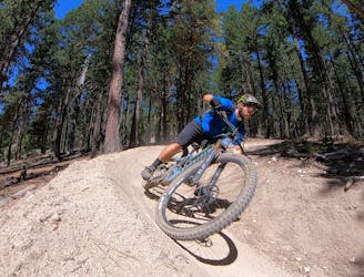
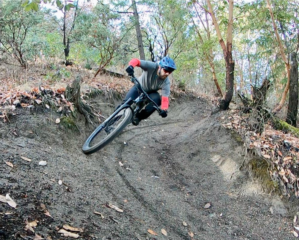
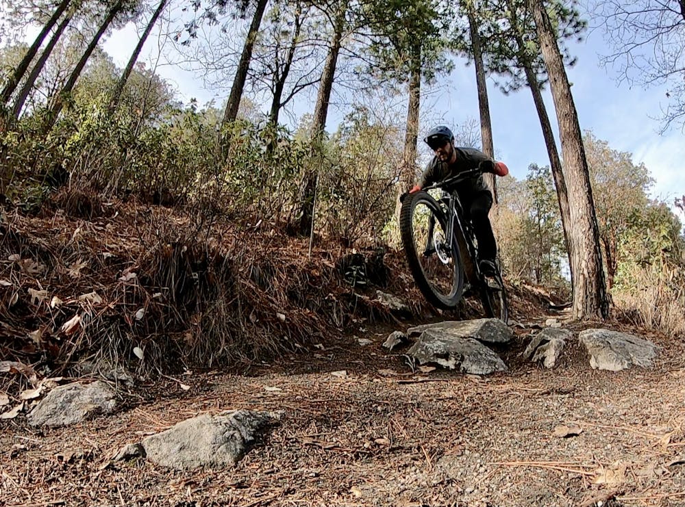
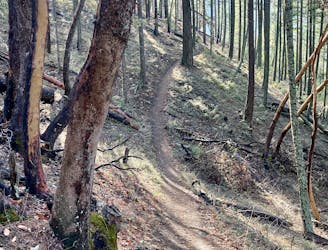
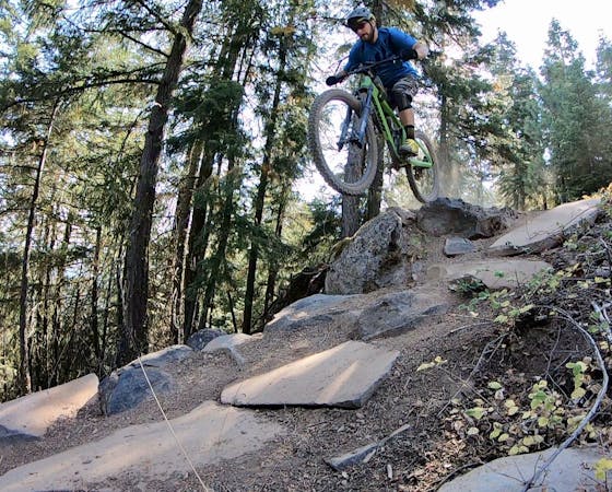
White Rabbit starts off with a short descent followed by a quick climb. Then, the shredding begins in earnest! The downhill starts off smooth and twisty, running across some small rock gardens up high. The singletrack twists and turns through tight switchbacks, some of which have been bermed up to allow riders to descend more quickly (stay alert for uphill traffic).
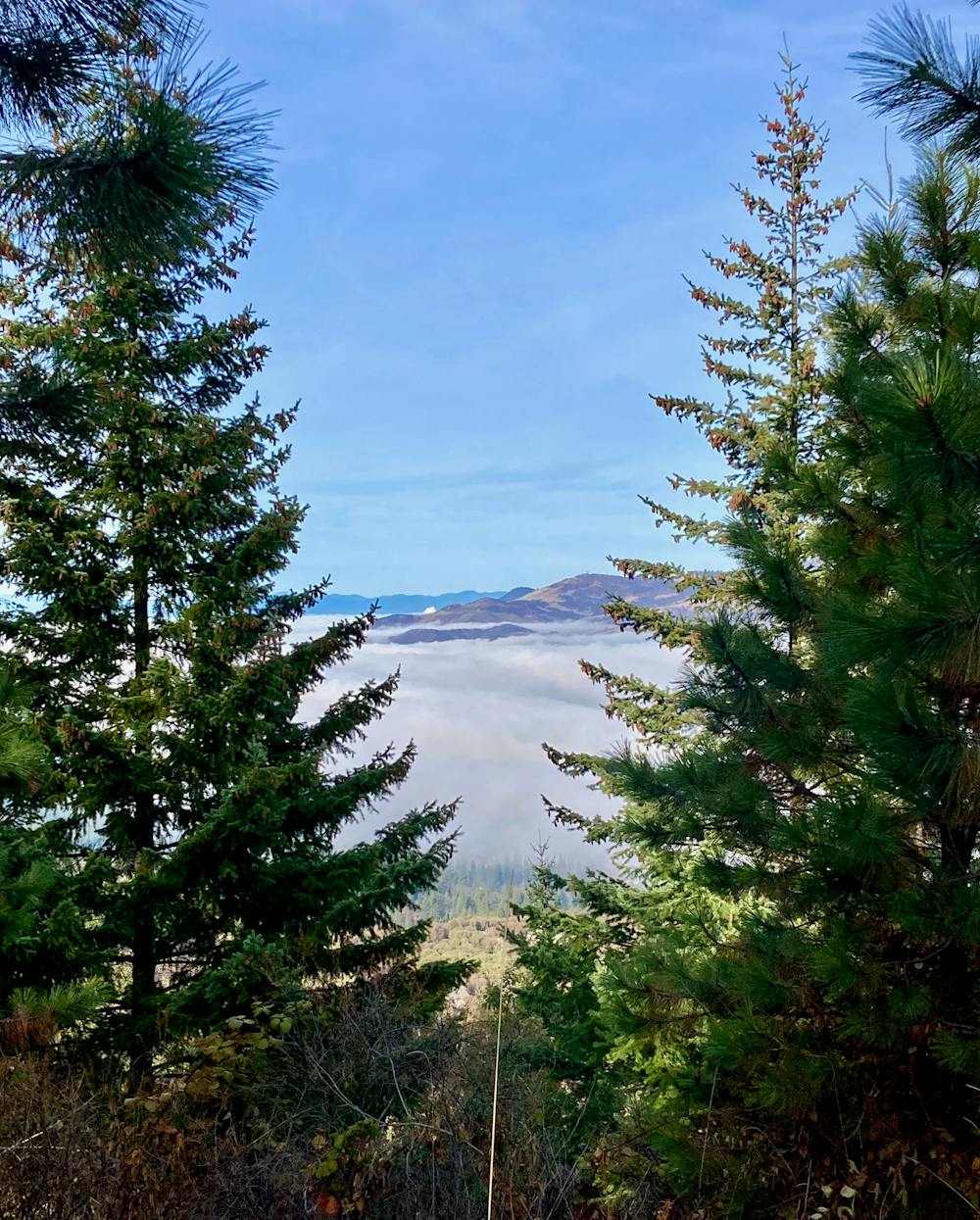
The upper sections of the trail offer some beautiful views through the trees if you take the time to pause and enjoy. You can also take an optional turn onto Looking Glass, which quickly rejoins White Rabbit but offers a few gorgeous views.
Lower down, the enjoyable singletrack widens out into almost a doubletrack, descending steeply down the fall line with waterbars providing erosion control. This lower section isn't nearly as entertaining as the upper zone, and you'll encounter more hikers down here. Ride heads-up.
Moderate
Mostly stable trail tread with some variability, with unavoidable obstacles 8in/20cm tall or less. Other obstacles such as rock gullies and steep sections may exist. Ideal for lower intermediate riders.

The trail contains some obstacles such as outcroppings and rock which could cause injury.
Away from help but easily accessed.
2.3 km away
A flowy romp on Ashland's classic trail!
Moderate Mountain Biking
2.3 km away
A short old school singletrack loop.
Moderate Mountain Biking
9.4 km away

Drop Time Warp then head to the little-ridden West Side.
Severe Mountain Biking
9.4 km away
The classic Mt. Ashland shuttle run still delivers the goods!
Difficult Mountain Biking
9.4 km away
One of the best—and most technical—shuttle runs on the mountain.
Severe Mountain Biking
9.4 km away
Plenty of gnar and flow on one of the best shuttle combinations on Mount Ashland.
Severe Mountain Biking
3 routes · Mountain Biking

20 routes · Mountain Biking
13 routes · Mountain Biking

15 routes · Mountain Biking

52 routes · Mountain Biking · Freeride Skiing · Gravel Biking · Hiking · Road Biking