
7 routes · Mountain Biking
A classic Oregon ride that's earned the IMBA Epic designation.
Mountain Biking Difficult

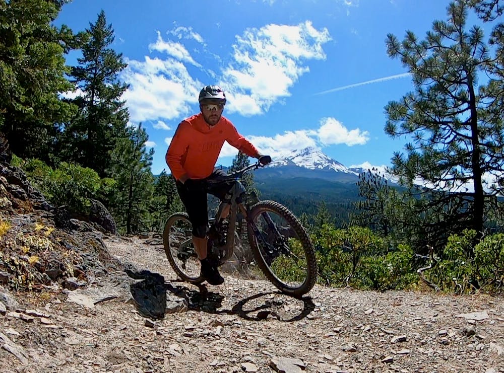
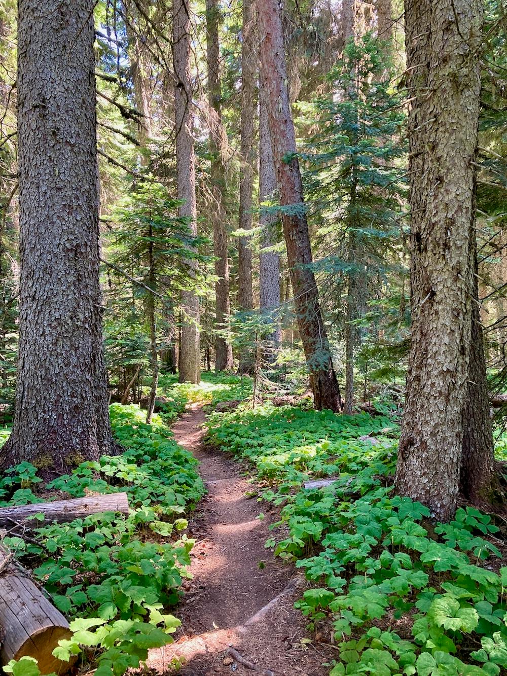
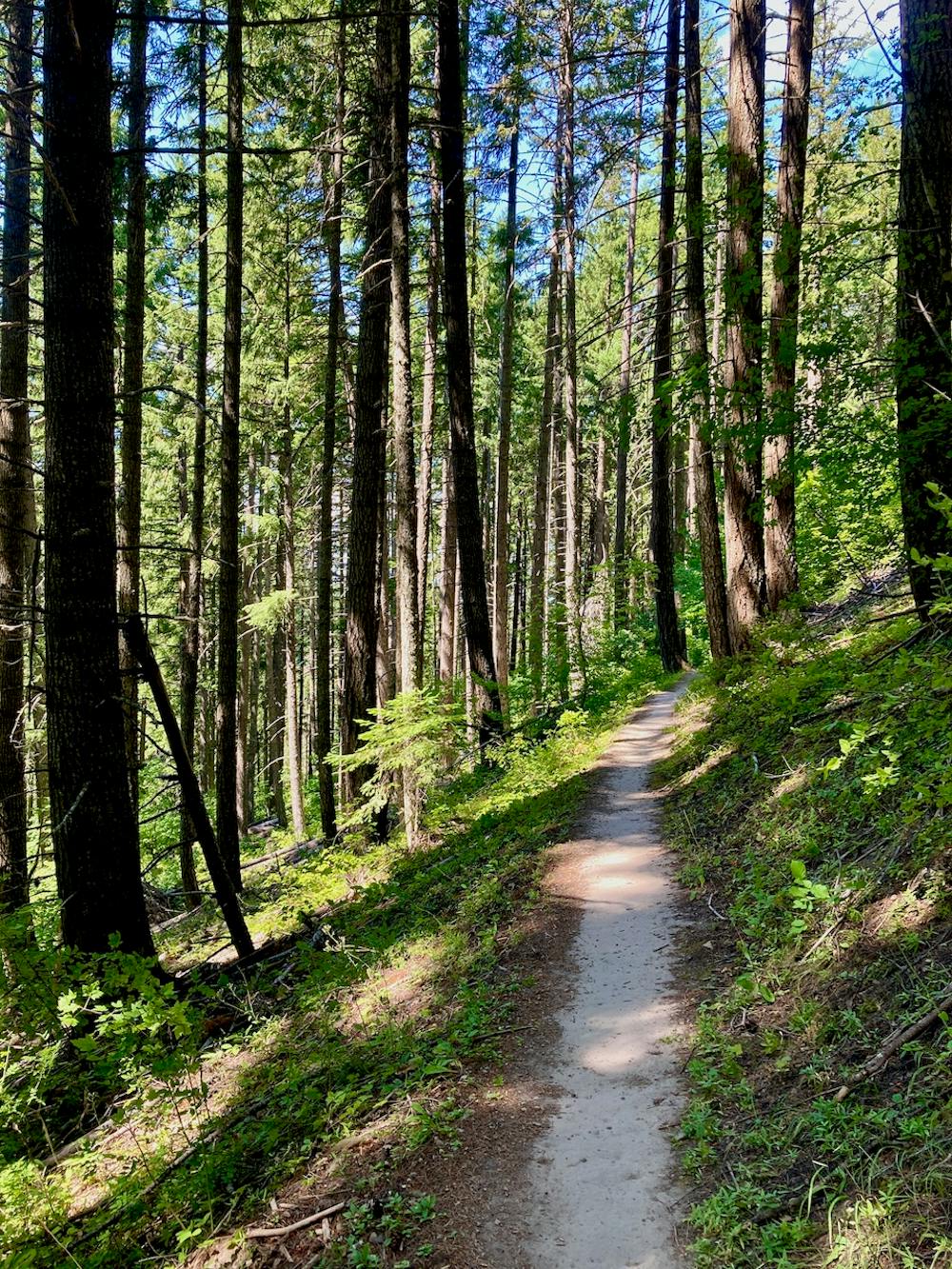
Surveyor’s Ridge is a classic Oregon mountain bike ride in the true sense of the word. This historic singletrack trail breaks out of the deep, dark forest into exposed alpine meadows that afford absolutely stunning views of the glaciated peak of Mount Hood! Thanks to this ride’s lengthy history and epic views, it’s earned the IMBA Epic designation.

You can ride Surveyor’s in any number of combinations. The easiest route is to drive higher into the mountains, park at an upper trailhead, and simply rider Surveyor’s as an out-and-back. You could also ride it as an out-and-back from the trailhead listed here, or from the bottom of Dog River, or, if you want to turn it into an epic loop route… follow the route mapped here.
In order to loop this trail, you’ll have to pedal up the highway for a few miles before beginning your main climb up the Dog River Trail. This grunt up the mountains is quite steep and technical, and you’ll need to ride wary of oncoming downhill traffic. Dog River is a very popular shuttle run, thanks to an upper trailhead and road access. While, of course, downhill traffic should always yield to uphill, we know that doesn’t always happen.
Once at the top of Dog River, Surveyor’s Ridge proper begins! Along the length of this undulating up-and-down trail, you’ll enjoy "unparalleled panoramas of the vast Eastern Oregon backcountry with the lofty heights of Mount Hood,” according to local mountain biker Chris Daniels.
According to Daniels, "Surveyor’s leaves a little to be desired in terms of fun factor, as any descent along the ridge is too often met with short and sometimes steep grunts, keeping in check any chance for sustainable speeds. Just as fast as you enter a section of flowy goodness in the downhill direction, you are met with an equal but opposite pitch going uphill, interrupting the rhythm.”
To combat this unfortunate lack of flow, take a left at the end of Surveyor’s and descend the Oak Ridge Trail back to your car. Oak Ridge is a black diamond-rated descent that drops over 1,900 feet in less than 3 miles. This steep rip is a challenging and fast reward for all the work you’ve invested up to this point!
Sources: https://www.singletracks.com/mtb-trails/the-hood-report-sojourning-on-surveyors-ridge-and-downing-dog-river/ https://www.imba.com/ride/where-to-ride/imba-epics
Difficult
Mostly stable trail tread with some variability featuring larger and more unavoidable obstacles that may include, but not be limited to: bigger stones, roots, steps, and narrow curves. Compared to lower intermediate, technical difficulty is more advanced and grades of slopes are steeper. Ideal for upper intermediate riders.

The trail contains some obstacles such as outcroppings and rock which could cause injury.

Little chance of being seen or helped in case of an accident.
7 routes · Mountain Biking

6 routes · Mountain Biking

5 routes · Mountain Biking

15 routes · Mountain Biking