BT "WilBo Baggins" Tour
Bend
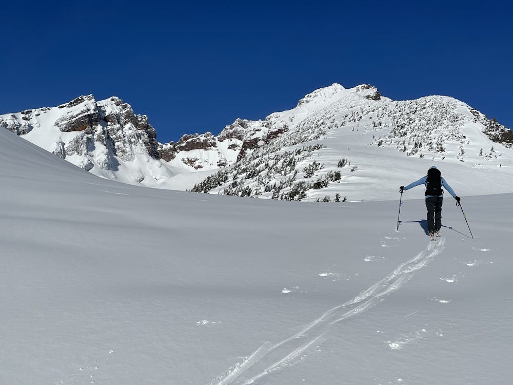
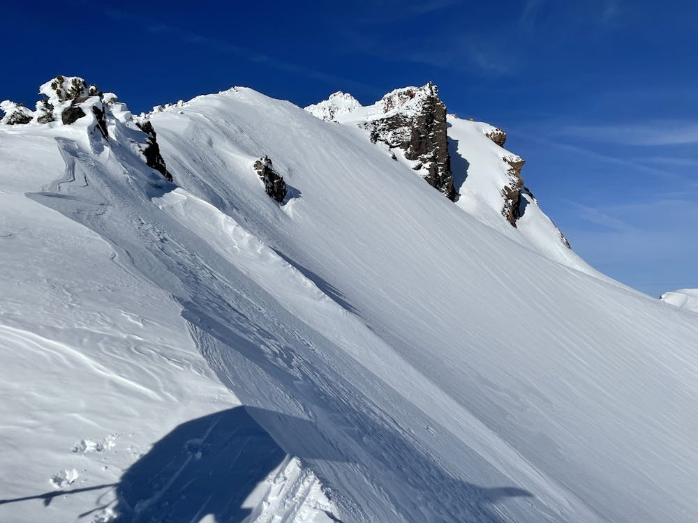
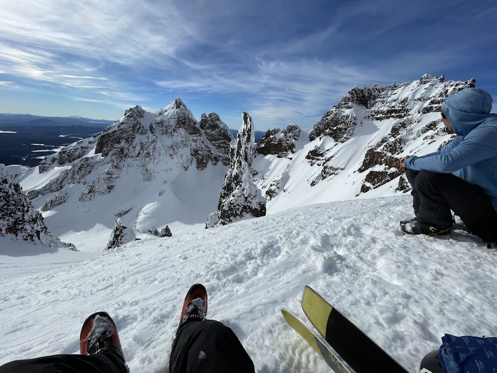
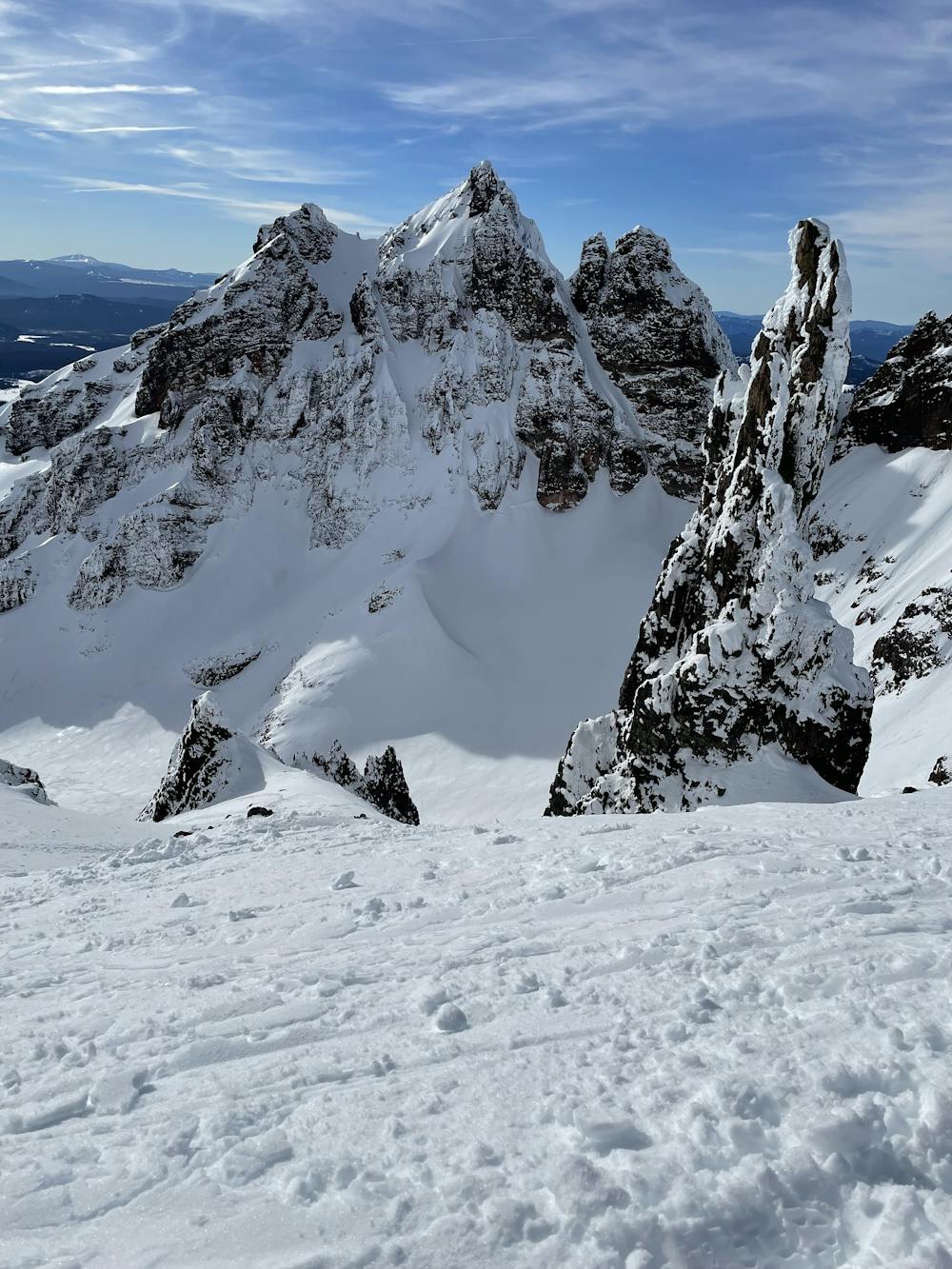
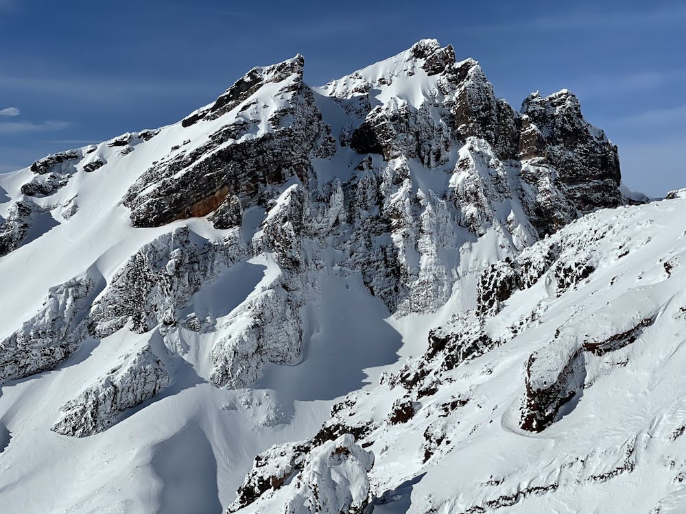
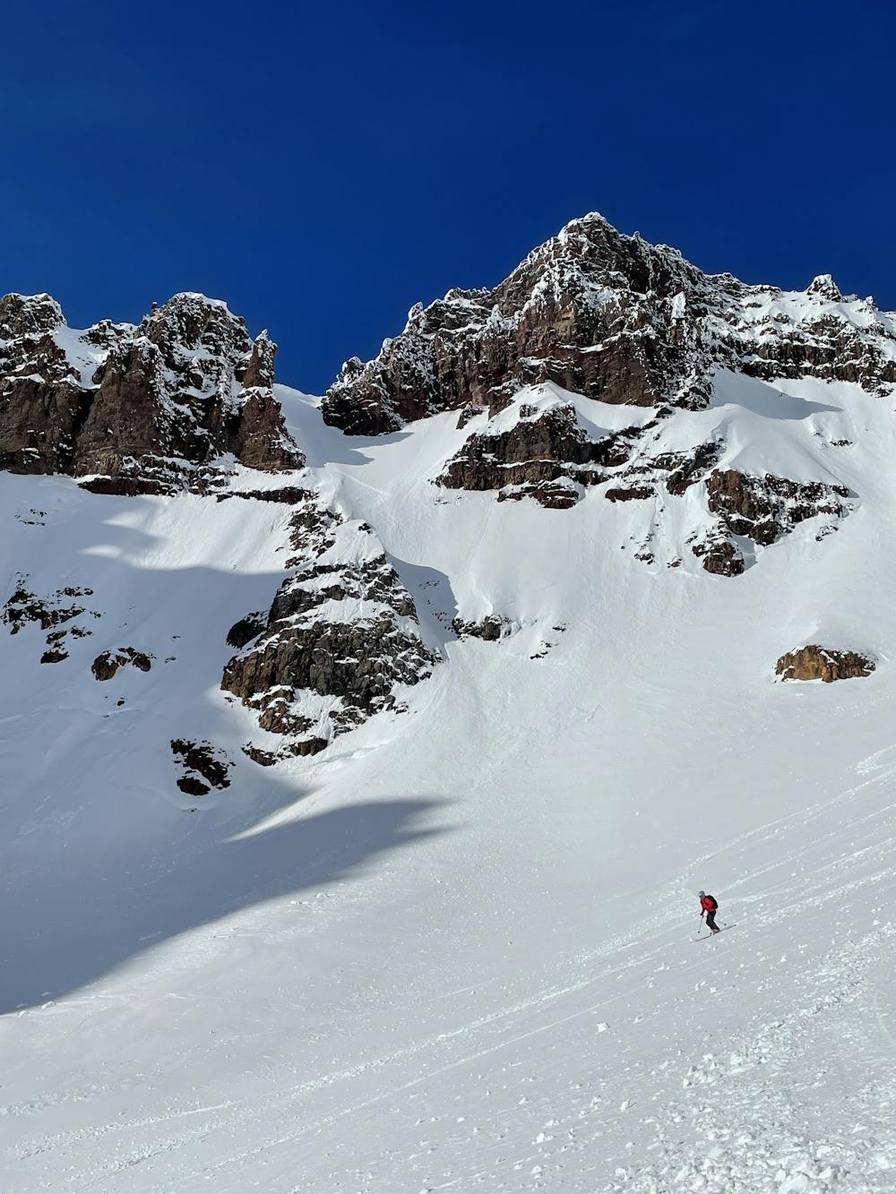
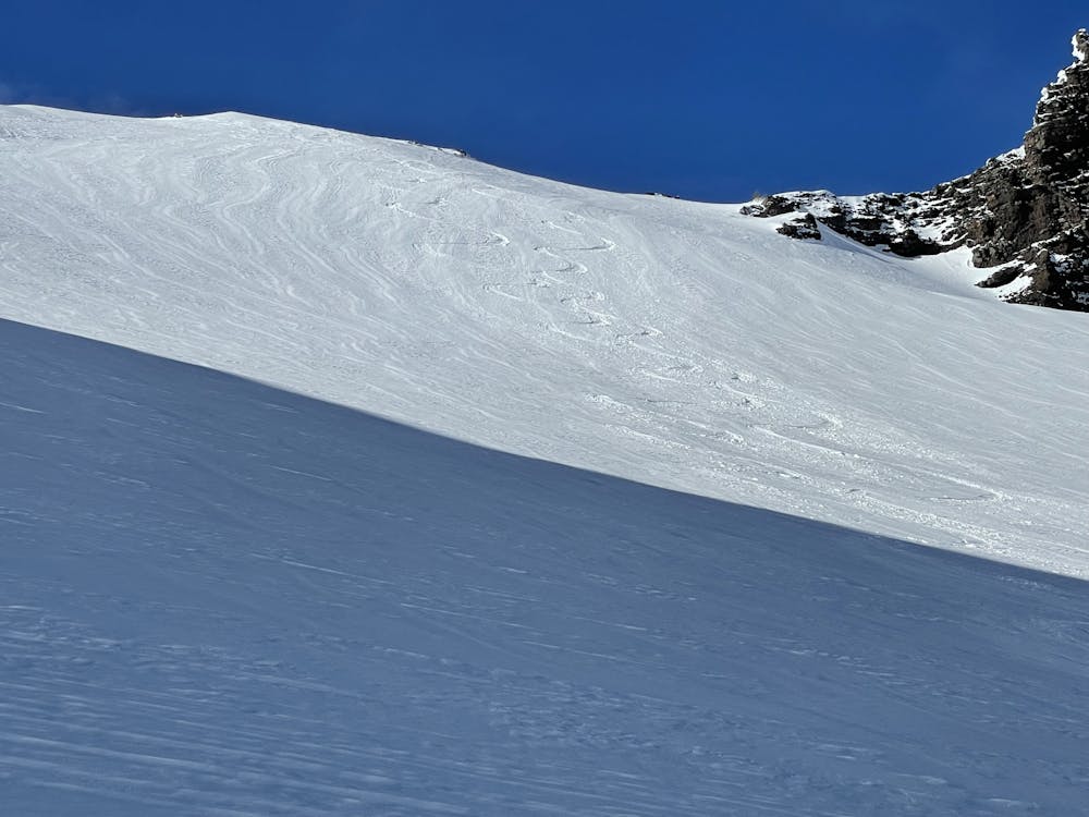
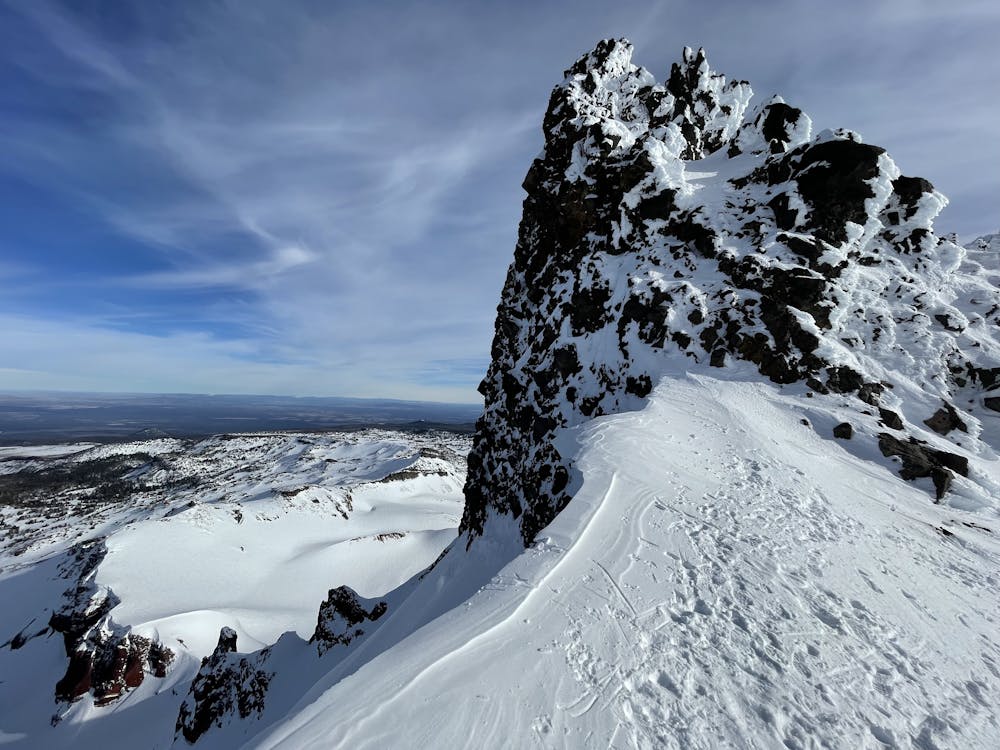
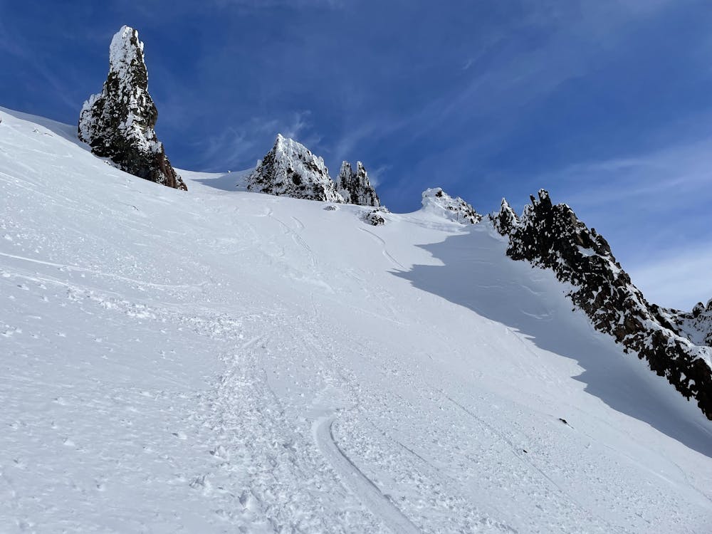
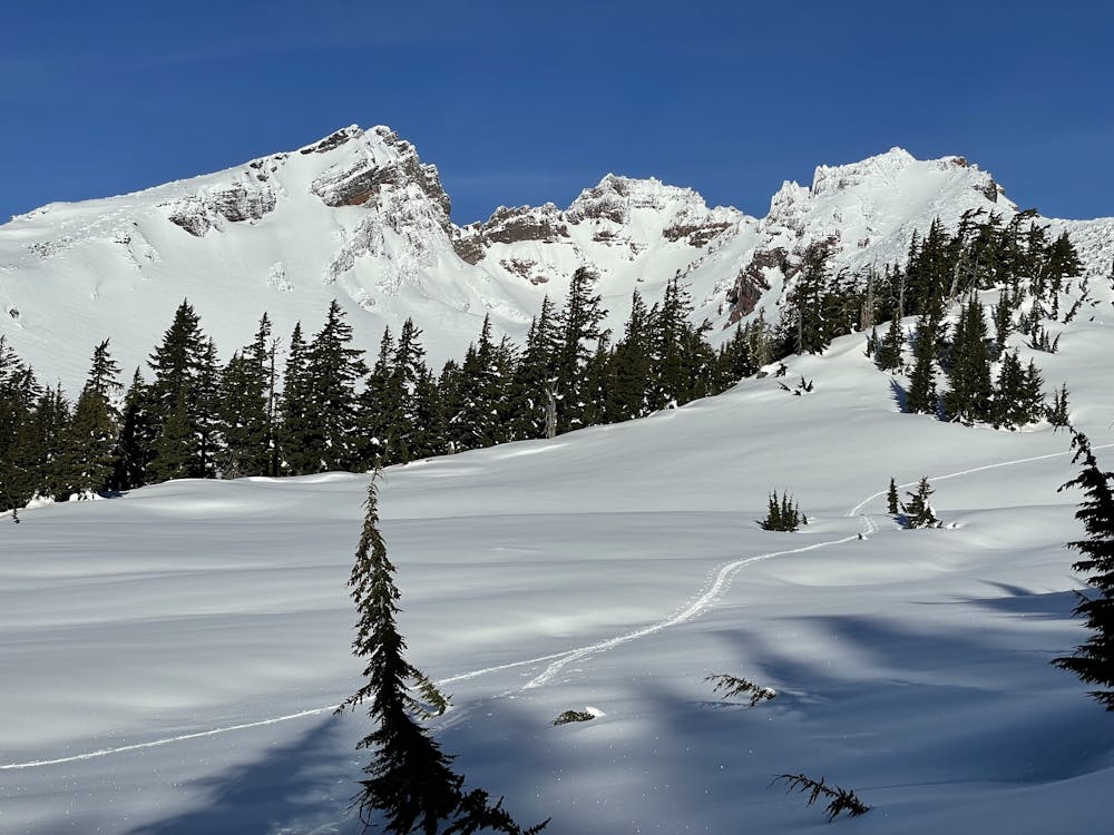
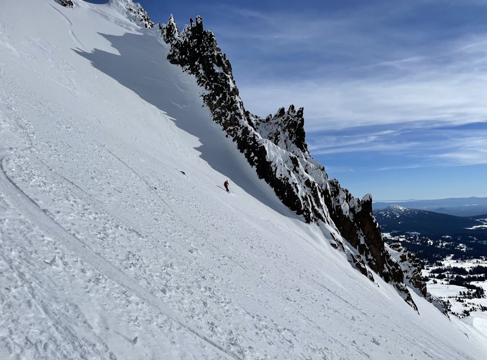
Fun COAC obs. Skied Smiley then Tower Couloir, with snomo access to boundary
Ski Touring Difficult
- Distance
- 50 km
- Ascent
- 1.8 km
- Descent
- 1.8 km
- Duration
- 1 day +
- Low Point
- 1.8 km
- High Point
- 2.7 km
- Gradient
- 21˚

This is a popular ski touring route which is generally considered to be difficult. It's remote, it features low exposure (e1) and is typically done between December and April. From a low point of 1.8 km to the maximum altitude of 2.7 km, the route covers 50 km, 1760 vertical metres of ascent and 1758 vertical metres of descent. You'll need skins and crampons to complete it safely.
- •
- •
- •
- •
- •
- •
- •
- •
- •
- •
- •
Description
Fun backcountry ski tour on Broken Top, with 2 ski descents.
Difficulty
Difficult
Serious gradient of 30-38 degrees where a real risk of slipping exists.
Low Exposure (E1)

Exposure is limited to that of the slope itself. Getting hurt is still likely if the slope is steep and/or the snow is hard.
Remoteness

Away from help but easily accessed.
Best time to visit
Features
- Face
- Couloir
Equipment required
- Skins
- Crampons