64 routes · Mountain Biking · Hiking · Trail Running
Ski Touring in Oregon
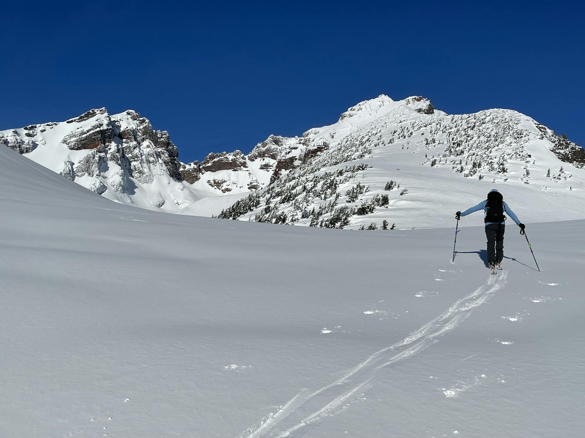
Go Ski Touring in Oregon with curated guides of the best routes across the region. With over 303 3D trail maps in FATMAP, you can easily discover and navigate the best routes in Oregon.
No matter what your next adventure has in store, you can find a guide on FATMAP to help you plan your next epic trip.
Get a top Ski Touring recommendation in Oregon from one of our 57 guidebooks, or get inspired by the 303 local adventures uploaded by the FATMAP community. Start exploring now!
Ski Touring Destinations in Oregon
![Mount Bachelor](https://fatmap-assets.imgix.net/resorts/MtBachelor.jpg)
12 routes · Mountain Biking
Mount Bachelor
![Timberline Lodge Summer](https://fatmap-assets.imgix.net/resorts/Timberline_Lodge_Summer_Don_Graham_Flickr.jpg)
12 routes
Timberline Lodge Summer
![Timberline Lodge](https://fatmap-assets.imgix.net/resorts/Timberline.jpg)
11 routes
Timberline Lodge
2 routes
Mt. Hood
Ski Touring Routes in Oregon
Alpine Trail Uphill
![Alpine Trail Uphill](https://fatmap-adventure-screenshots.imgix.net/routes/2856578-blank.png?w=328&h=250&auto=compress%2Cformat)
A popular ski tour through the woods from Summit Pass to Timberline Lodge.
Moderate Ski Touring
- Distance
- 4.6 km
- Ascent
- 599 m
- Descent
- 0 m
Glade Trail Uphill
![Glade Trail Uphill](https://fatmap-adventure-screenshots.imgix.net/routes/2856562-blank.png?w=328&h=250&auto=compress%2Cformat)
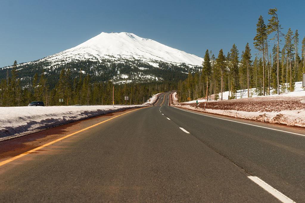
A relaxed ski tour from Government Camp up to Timberline Lodge.
Easy Ski Touring
- Distance
- 4.4 km
- Ascent
- 594 m
- Descent
- 0 m
Old Chute Ski Descent
![Old Chute Ski Descent](https://fatmap-adventure-screenshots.imgix.net/routes/2740066-blank.png?w=328&h=250&auto=compress%2Cformat)
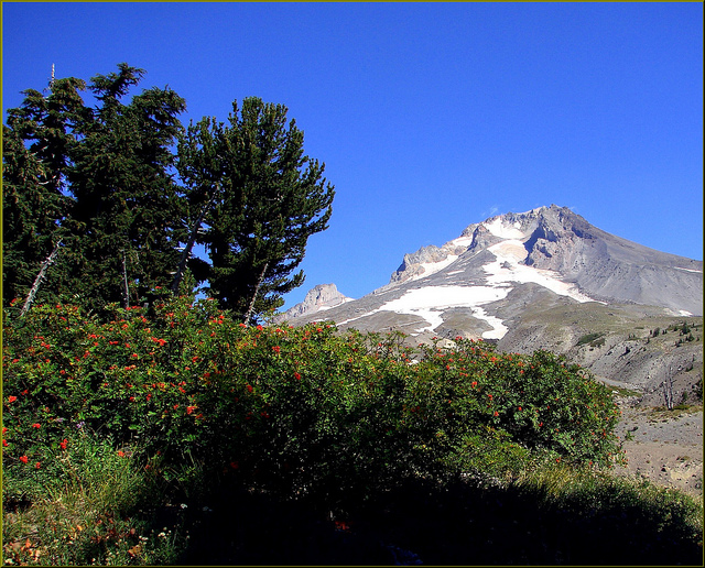
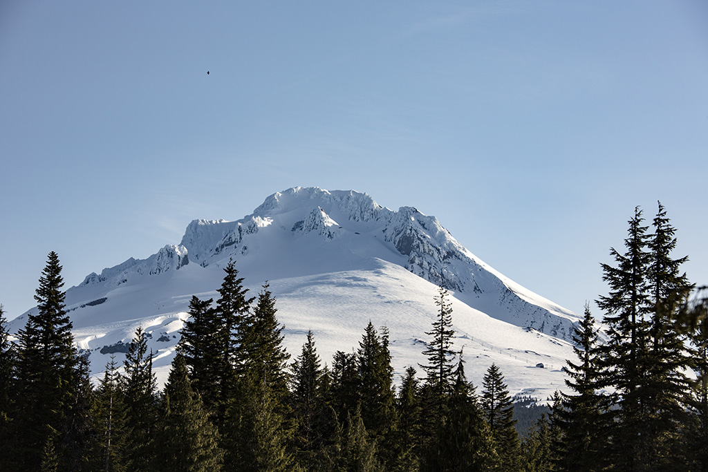
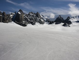
Skiing off Hood's summit ridge via the classic Old Chute route.
Severe Ski Touring
- Distance
- 750 m
- Ascent
- 0 m
- Descent
- 450 m
Mt. Jefferson - West Rib to North Face approach
![Mt. Jefferson - West Rib to North Face approach](https://fatmap-adventure-screenshots.imgix.net/routes/3244218-blank.png?w=328&h=250&auto=compress%2Cformat)
Mt. Jefferson - West Rib to North Face approach to the summit pinnacle
Severe Ski Touring
- Distance
- 9.3 km
- Ascent
- 2.3 km
- Descent
- 47 m
Broken Top Day Trip
![Broken Top Day Trip](https://fatmap-adventure-screenshots.imgix.net/routes/3078403-blank.png?w=328&h=250&auto=compress%2Cformat)
A decently long day trip on Broken Top
Difficult Ski Touring
- Distance
- 28 km
- Ascent
- 1.2 km
- Descent
- 1.2 km
Tumalo Day excursion
![Tumalo Day excursion](https://fatmap-adventure-screenshots.imgix.net/routes/3078402-blank.png?w=328&h=250&auto=compress%2Cformat)
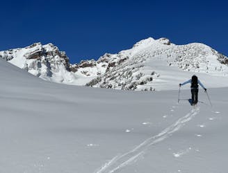
Nice easy backcountry excursion
Moderate Ski Touring
- Distance
- 5.2 km
- Ascent
- 514 m
- Descent
- 514 m
BT "WilBo Baggins" Tour
Fun COAC obs. Skied Smiley then Tower Couloir, with snomo access to boundary
Difficult Ski Touring
- Distance
- 50 km
- Ascent
- 1.8 km
- Descent
- 1.8 km
Bennet Pass
![Bennet Pass](https://fatmap-adventure-screenshots.imgix.net/routes/2860137-blank.png?w=328&h=250&auto=compress%2Cformat)
Fun and easy tree skiing across Highway 84 from Mt. Hood Meadows
Easy Ski Touring
- Distance
- 2.6 km
- Ascent
- 62 m
- Descent
- 178 m