4.3 km away
Salmon Creek Out-and-Back
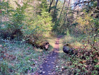
The perfect beginner trail!
Easy Trail Running
- Distance
- 13 km
- Ascent
- 140 m
- Descent
- 140 m
Score beautiful views of the North Fork of the Willamette River.
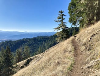
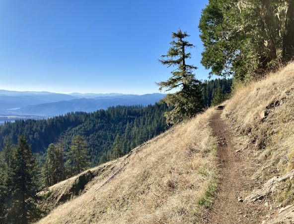
Trail Running Moderate

The North Fork Trail runs along the banks of North Fork of the Willamette River through a narrow river valley. You'll enjoy stunning river views along the entire length of this route!
The trail starts off easy and smooth, but after about 3 miles it gets quite a bit rougher, more technical, and more challenge. This more technical portion of the trail continues for an additional 8 miles. However, the route mapped here turns around at Alpine Road instead, for a simple 10-mile out-and-back route.
Beyond Alpine Road, not only is the trail continuously rough, but it's much less maintained than the first 5 or so miles. But if you're in for an adventure, continue on!
Since the North Fork trail is at such a low elevation, it stays accessible and snow-free most of the year. While conditions can get wet in the winter, the rocky trail bed drains very well, making it a popular escape for locals even during the depths of winter.
Sources: https://www.outdoorproject.com/articles/mountain-biking-oakridges-north-fork-trail https://ridespots.com/rides/middle-fork-willametter-oakridge-oregon-mountain-bike-ride/ https://www.alltrails.com/trail/us/oregon/north-fork-middle-fork-willamette-river-trail
Moderate

The trail contains some obstacles such as outcroppings and rock which could cause injury.

Little chance of being seen or helped in case of an accident.
4.3 km away
The perfect beginner trail!
Easy Trail Running
6.6 km away
"One of the most stunning trails near Oakridge."
Difficult Trail Running
6 routes · Trail Running