4.1 km away
Tumalo Falls and North Fork
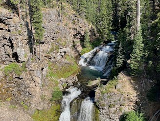
Run past the tourist stop at Tumalo Falls for a longer adventure on one of Bend's most beautiful trails.
Moderate Trail Running
- Distance
- 9.8 km
- Ascent
- 345 m
- Descent
- 345 m
An easy trail "highway" through the woods
Trail Running Easy

Very popular among mountain bikers, but very enjoyable on foot as well.
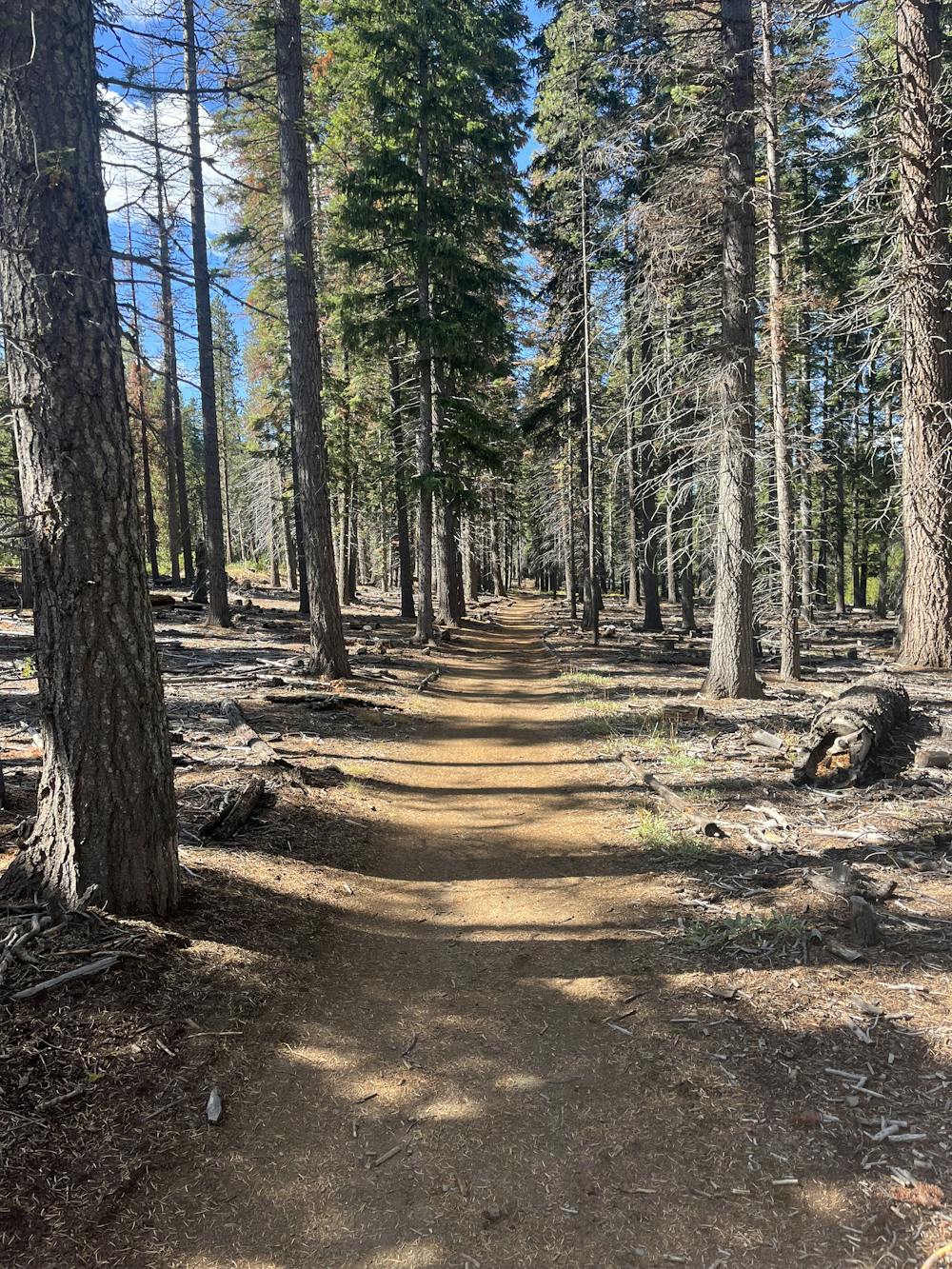
I called it a highway though the woods because it's very smooth, rolling with little climbing, perfect for beginners who want to get into trail running.
Being shared between two wheelers and pedestrians, need to keep your ears open for MTB (or hikers/trail runners) that you may encounter though the trail.
A few intersections, well marked. It ends at the intersection with Tumalo Falls Rd. To get the best view of the falls, you need cover a few more steps uphill on the N Fork Trail.
Keep going on the N Fork Trail #24.2 to add miles and vert for more stunning views of the valley.
Easy

The path is on completely flat land and potential injury is limited to falling over.
Close to help in case of emergency.
4.1 km away
Run past the tourist stop at Tumalo Falls for a longer adventure on one of Bend's most beautiful trails.
Moderate Trail Running
7 routes · Trail Running