1.1 km away
Prairie Vista Trail
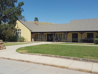
An easy family-friendly hike through the grasslands along Wind Cave's visitor center.
Easy Hiking
- Distance
- 1 km
- Ascent
- 30 m
- Descent
- 30 m
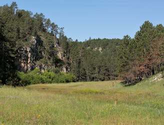
An easy hike on an old dirt road shouldered by limestone cliffs and ponderosa pine, and known for its birding opportunities.
Hiking Easy

Following a former road to the park's eastern boundary, Wind Cave Canyon is one of the best trails for birdwatching in the park; Cold Brook Canyon as another excellent option. According to the park, "Limestone cliffs provide nesting areas for cliff swallows, canyon wrens, and great horned owls," while woodpeckers chip away at the "snag trees," a term used to describe dead and decomposing trees that are still upright.
The trailhead is just east of the visitor center on Highway 385. The parking area is small and unpaved, and there are no restrooms or water available, though the visitor center offers both year-round. As a simple out-and-back to the park's edge, this is a day hike that everyone in the family will enjoy.
For those interested in a longer hike, the Wind Cave Canyon Trail begins 0.5-miles from the trailhead. "A brief, steep climb leads to the rolling hills of the prairie," where views of "Buffalo Gap and the Black Hills await," according to the park.
Easy
Walking along a well-kept trail that’s mostly flat. No obstacles are present.

The path is on completely flat land and potential injury is limited to falling over.

Away from help but easily accessed.
1.1 km away
An easy family-friendly hike through the grasslands along Wind Cave's visitor center.
Easy Hiking
2.6 km away
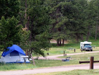
A short, dog-friendly hike around the campground where the towering ponderosa pine meet the lush grasslands.
Easy Hiking
3.3 km away
An out-and-back family-friendly hike popular for birdwatching.
Moderate Hiking
7.7 km away
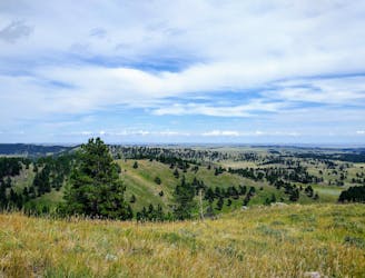
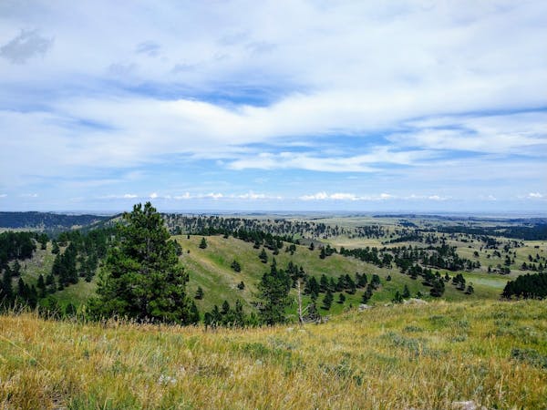
Wander through a mature ponderosa pine forest and enjoy breathtaking views from the park's highest point.
Easy Hiking
5 routes · Hiking

63 routes · Alpine Climbing · Hiking