18 m away
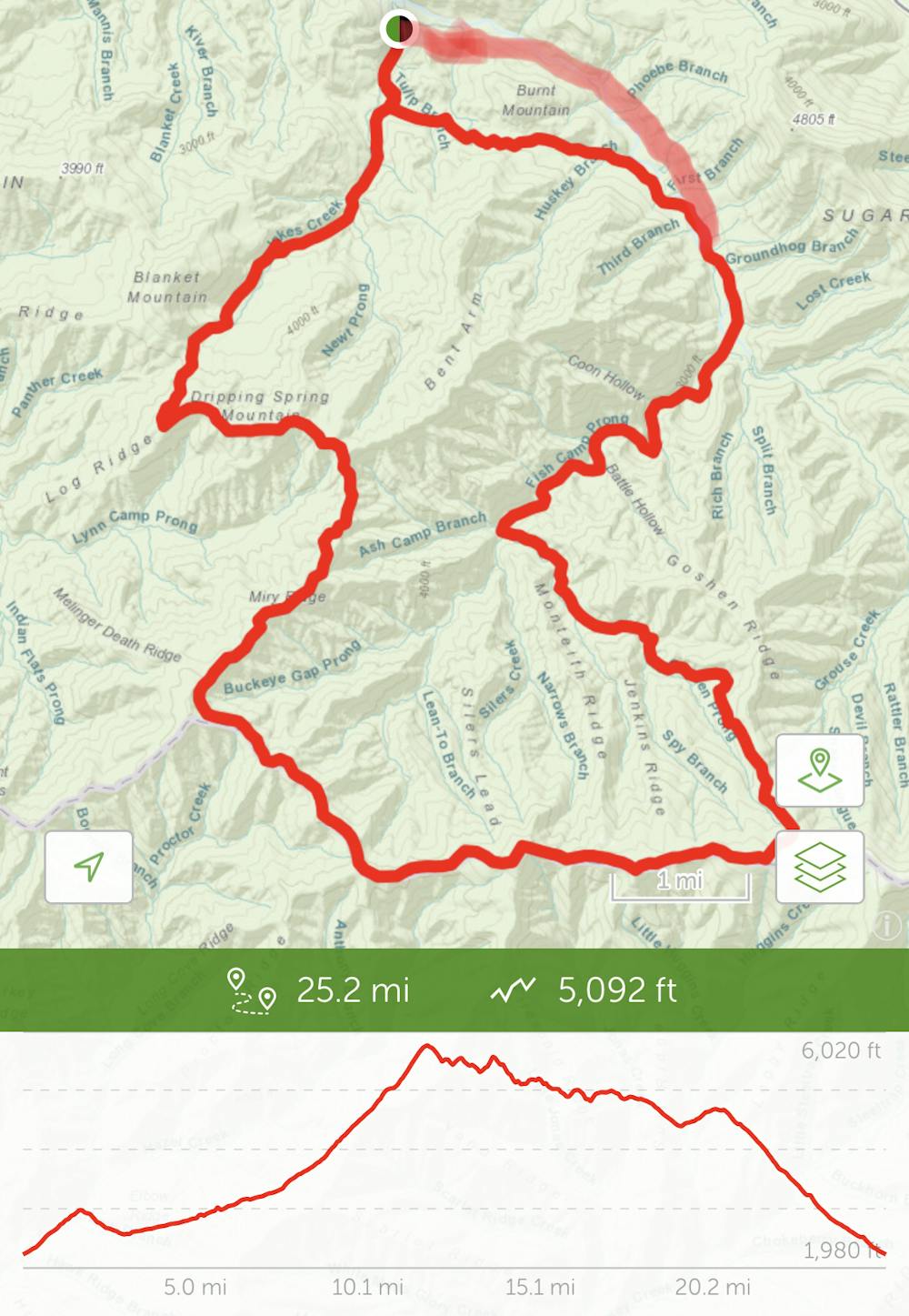
Elkmont Loop
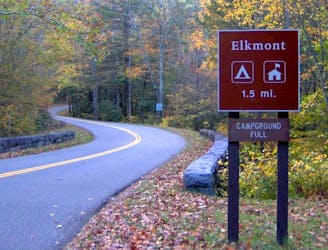
An epic one or two night backcountry loop starting at the Elkmont Campground.
Difficult Hiking
- Distance
- 40 km
- Ascent
- 1.6 km
- Descent
- 1.6 km
Little River Trail/Goshen Prong Trail/Appalacian Trail/ Miry Ridge Trail/Jakes CreekTrail
Hiking Difficult

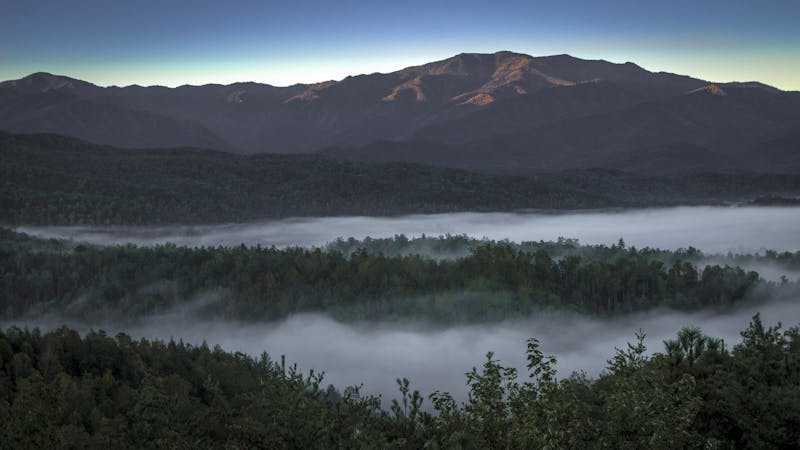
This is a popular hiking route which is generally considered to be difficult. It's remote, it features medium exposure and is typically done between March and November. From a low point of 656 m to the maximum altitude of 1.8 km, the route covers 40 km, 1603 vertical metres of ascent and 1603 vertical metres of descent.
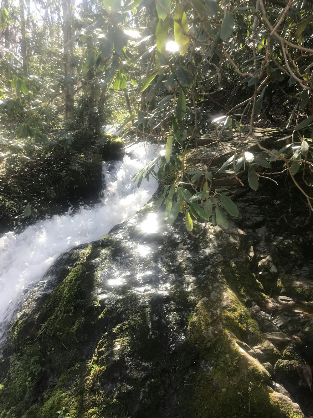
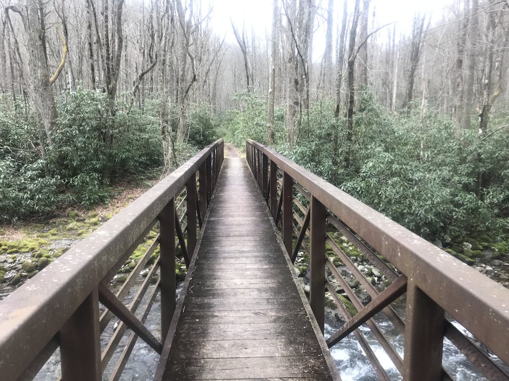
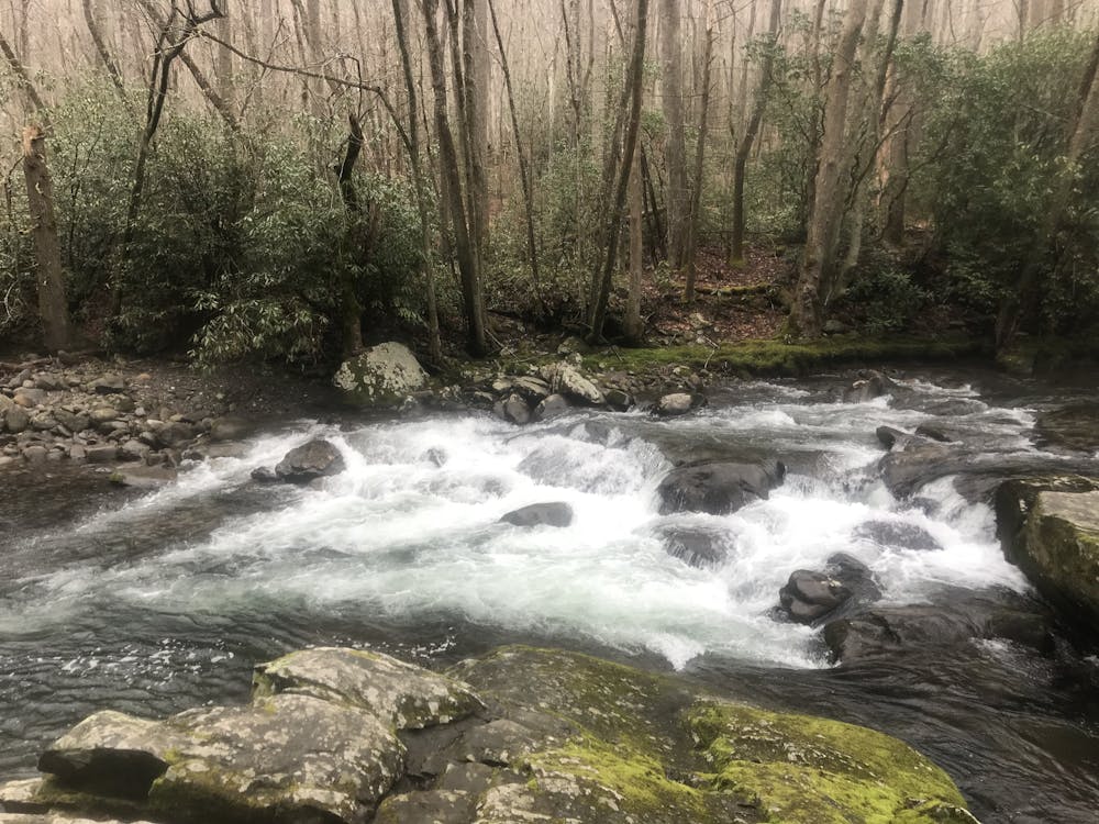
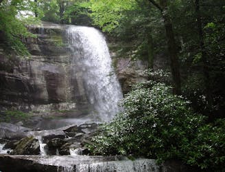
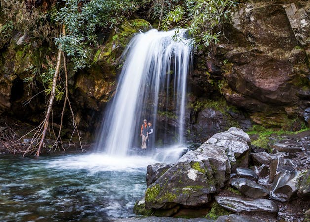
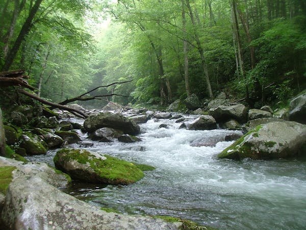
Beautiful views of waterfalls, rivers, creeks, bridges, Daisy Town ruins.
Difficult
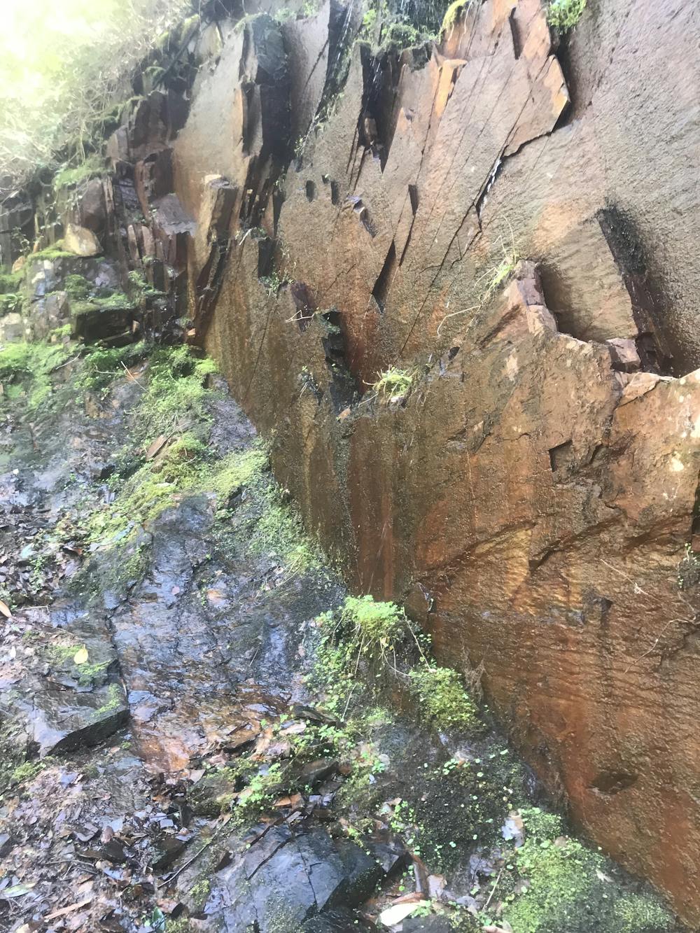
Hiking trails where obstacles such as rocks or roots are prevalent. Some obstacles can require care to step over or around. At times, the trail can be worn and eroded. The grade of the trail is generally quite steep, and can often lead to strenuous hiking.

The trail contains some obstacles such as outcroppings and rock which could cause injury.
Away from help but easily accessed.
18 m away
An epic one or two night backcountry loop starting at the Elkmont Campground.
Difficult Hiking
2 km away
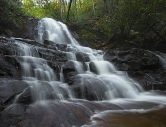
Family friendly, paved trail to one of the best waterfalls in Great Smoky Mountains National Park.
Easy Hiking
5.4 km away
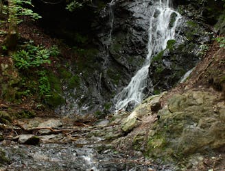
A quick family-friendly waterfall hike behind the Sugarlands Visitor Center.
Moderate Hiking
8.9 km away
The Rainbow Falls Trail is a challenging, yet rewarding hike to the highest waterfall in the Smokies!
Difficult Hiking
10 routes · Hiking
6 routes · Hiking
4 routes · Hiking