2.1 km away
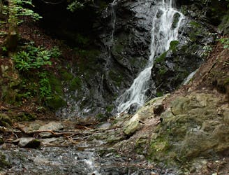
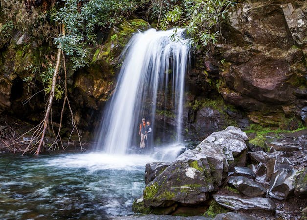
Grotto Falls
A short hike to a picturesque 25' waterfall that you can walk behind!
Moderate Hiking
- Distance
- 4.1 km
- Ascent
- 196 m
- Descent
- 196 m
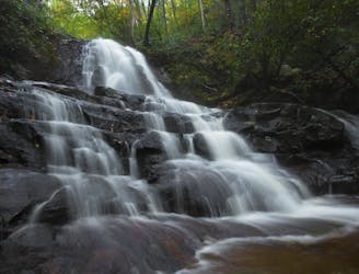
The Rainbow Falls Trail is a challenging, yet rewarding hike to the highest waterfall in the Smokies!
Hiking Difficult

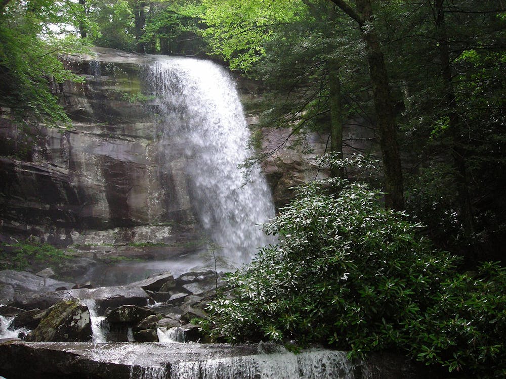
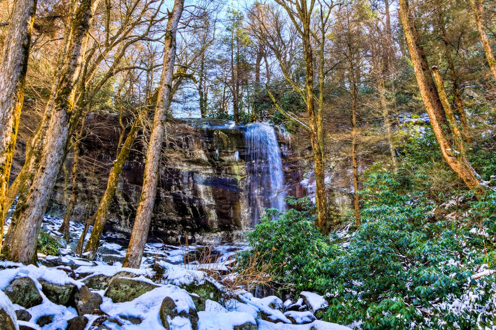
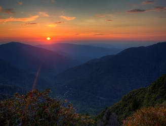
Boasting the title of "Highest Single-Drop Waterfall in the Smokies," this hike to Rainbow Falls should top your bucket list during your next visit. Toppling over an 80' ledge, the mist from the waterfall produces a stunning rainbow visible on most sunny afternoons. Should you plan your visit during the winter, you'll be welcomed with an "impressive ice formation built around the falls," the NPS proclaims.
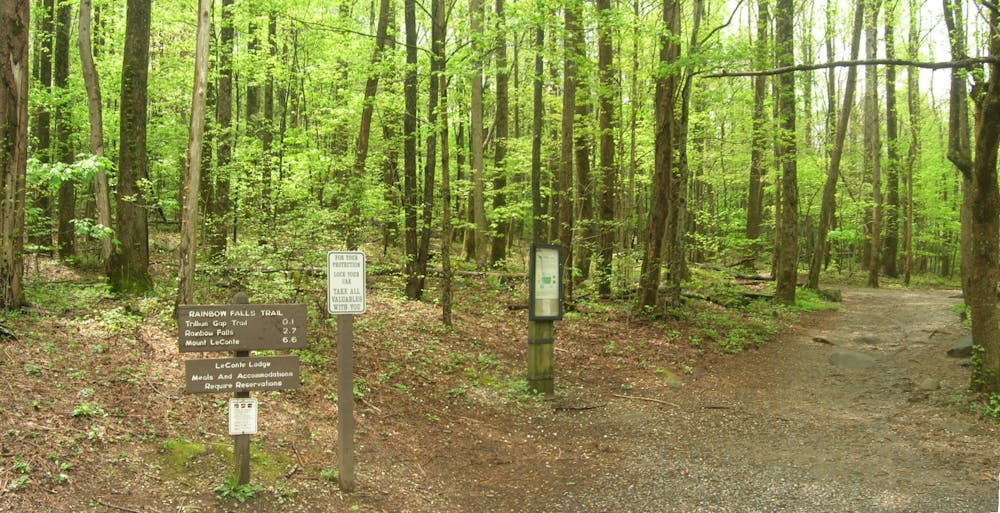
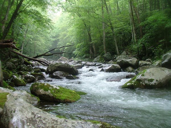
The trailhead is located in the Roaring Fork area, most often accessed from Gatlinburg. The parking area is clearly marked, and a secondary lot is located less than 1/10th of a mile ahead. There is no drinking water on the trail, so be sure to bring plenty along for the hike. On average, the route can take between 3 and 5 hours round-trip.
Though the NPS lists this as a moderate hike, novice hikers may find it more difficult due to a nearly 1,500' climb in just 2.7 miles. If you're up for the challenge, however, the view will surely take your mind away from the climb! The path is well-maintained and easy to follow, but sturdy hiking shoes are still recommended. Hiking in sandals is highly discouraged. As with most trails in the Smokies, neither dogs nor bicycles are allowed on the trail.
Should you be up for an even longer challenge, Rainbow Falls Trail continues pas the falls to the summit of Mount LeConte, one of the highest and most coveted peaks in the Smokies. If you have two vehicles, a popular option is to hike to LeConte the first day, spend the night at LeConte Lodge, then return down the Alum Cave Trail the following day.
Sources: https://www.nps.gov/grsm/planyourvisit/rainbow-falls-pyv.htm http://www.hikinginthesmokys.com/rainbow.htm
Difficult
Hiking trails where obstacles such as rocks or roots are prevalent. Some obstacles can require care to step over or around. At times, the trail can be worn and eroded. The grade of the trail is generally quite steep, and can often lead to strenuous hiking.

Some trail sections have exposed ledges or steep ascents/descents where falling could cause serious injury.
Little chance of being seen or helped in case of an accident.
2.1 km away
A short hike to a picturesque 25' waterfall that you can walk behind!
Moderate Hiking
4.7 km away
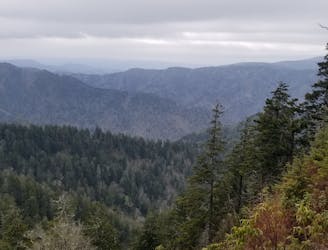
Steep climb to a popular viewpoint near a craggy summit.
Difficult Hiking
4.9 km away
A quick family-friendly waterfall hike behind the Sugarlands Visitor Center.
Moderate Hiking
6 km away
A popular route to the summit of Mount LeConte.
Difficult Hiking
8.6 km away
Family friendly, paved trail to one of the best waterfalls in Great Smoky Mountains National Park.
Easy Hiking
8.9 km away
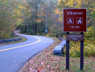
An epic one or two night backcountry loop starting at the Elkmont Campground.
Difficult Hiking
9 km away
The second half of the Great Smoky Mountains National Park.
Difficult Hiking

58 routes · Hiking
10 routes · Hiking

10 routes · Hiking
6 routes · Hiking
4 routes · Hiking