1.8 km away
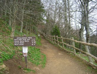
Mount LeConte via Alum Cave
A popular route to the summit of Mount LeConte.
Difficult Hiking
- Distance
- 17 km
- Ascent
- 933 m
- Descent
- 933 m
Steep climb to a popular viewpoint near a craggy summit.
Hiking Difficult

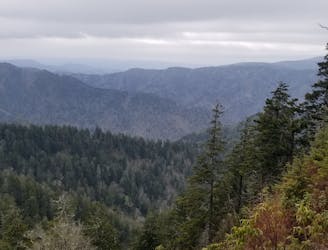
Chimney Tops Trail is one of the most popular hikes in Great Smoky Mountains National Park, due to its easy access from Gatlinburg and relatively short distance to rewarding views. It is not easy, however, because of its steepness. The Chimney Tops are a set of rock pinnacles at the top of the mountain. This trail now bears particular significance following the catastrophic wildfire of 2016. It’s where the fire started because of careless teenagers. After a period of closure and restoration, the trail has reopened. It now provides not only a great view, but also an intimate tour of the recovering ecosystem.
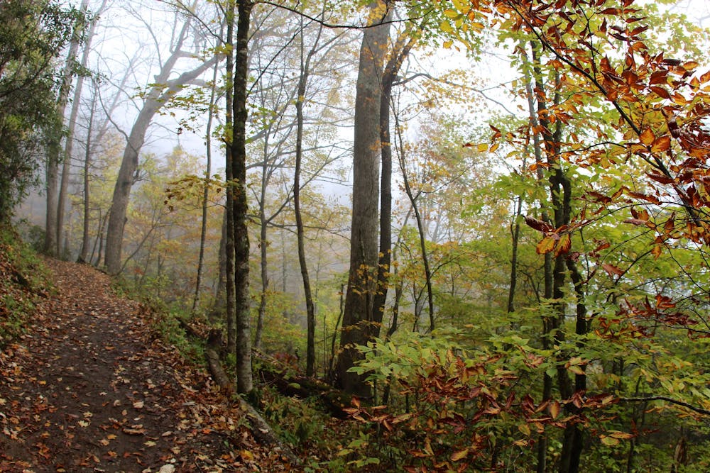
The first mile is relatively mellow, following a creek up a valley. Enjoy the streamside views and plentiful shade here. The second mile is much more difficult, as the trail heads pretty much straight up the mountain. There are some large roots and rock stairs all along the steep ascent to a ridgeline. The trail remains mostly under dense canopy, but near the top views open up quite a bit, mainly due to gaps left by burned trees.
Take time to admire the resurgence of growth that shows the forest’s resilience. Due to damage from the fire, the summit of the Chimney Tops is off limits. The culmination of the trail is an observation point on the ridge, where you can see many surrounding mountains and peer down the valley toward Gatlinburg.
Sources: https://www.nps.gov/grsm/planyourvisit/chimney-tops.htm
Difficult
Hiking trails where obstacles such as rocks or roots are prevalent. Some obstacles can require care to step over or around. At times, the trail can be worn and eroded. The grade of the trail is generally quite steep, and can often lead to strenuous hiking.

The trail contains some obstacles such as outcroppings and rock which could cause injury.
Away from help but easily accessed.
1.8 km away
A popular route to the summit of Mount LeConte.
Difficult Hiking
4.7 km away
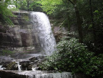
The Rainbow Falls Trail is a challenging, yet rewarding hike to the highest waterfall in the Smokies!
Difficult Hiking
4.9 km away
The second half of the Great Smoky Mountains National Park.
Difficult Hiking
5 km away
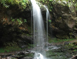
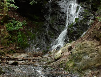
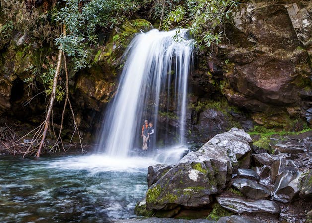
A short hike to a picturesque 25' waterfall that you can walk behind!
Moderate Hiking
8.5 km away
A quick family-friendly waterfall hike behind the Sugarlands Visitor Center.
Moderate Hiking
9 km away
The western terminus for North Carolina's Mountains to Sea Trail.
Difficult Hiking
9.1 km away
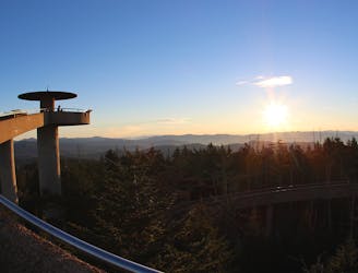
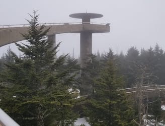
Paved path to an observation tower at the highest point in Great Smoky Mountains National Park.
Easy Hiking

58 routes · Hiking
10 routes · Hiking

7 routes · Hiking

16 routes · Hiking

10 routes · Hiking
6 routes · Hiking