3 m away
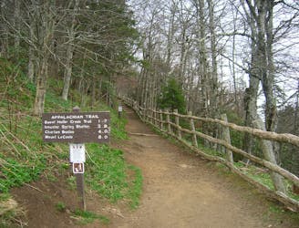
Clingmans Dome
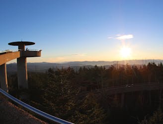
Paved path to an observation tower at the highest point in Great Smoky Mountains National Park.
Easy Hiking
- Distance
- 1.9 km
- Ascent
- 101 m
- Descent
- 101 m
The western terminus for North Carolina's Mountains to Sea Trail.
Hiking Difficult

The Mountains to Sea Trail is North Carolina's premier thru-hiking trail. Connecting the Great Smoky Mountains National Park to the Outer Banks, it showcases the state's diverse and beautiful terrain. It connects high elevation spruce-fir forests to rolling Piedmont hills and fresh springs to coastal beaches.
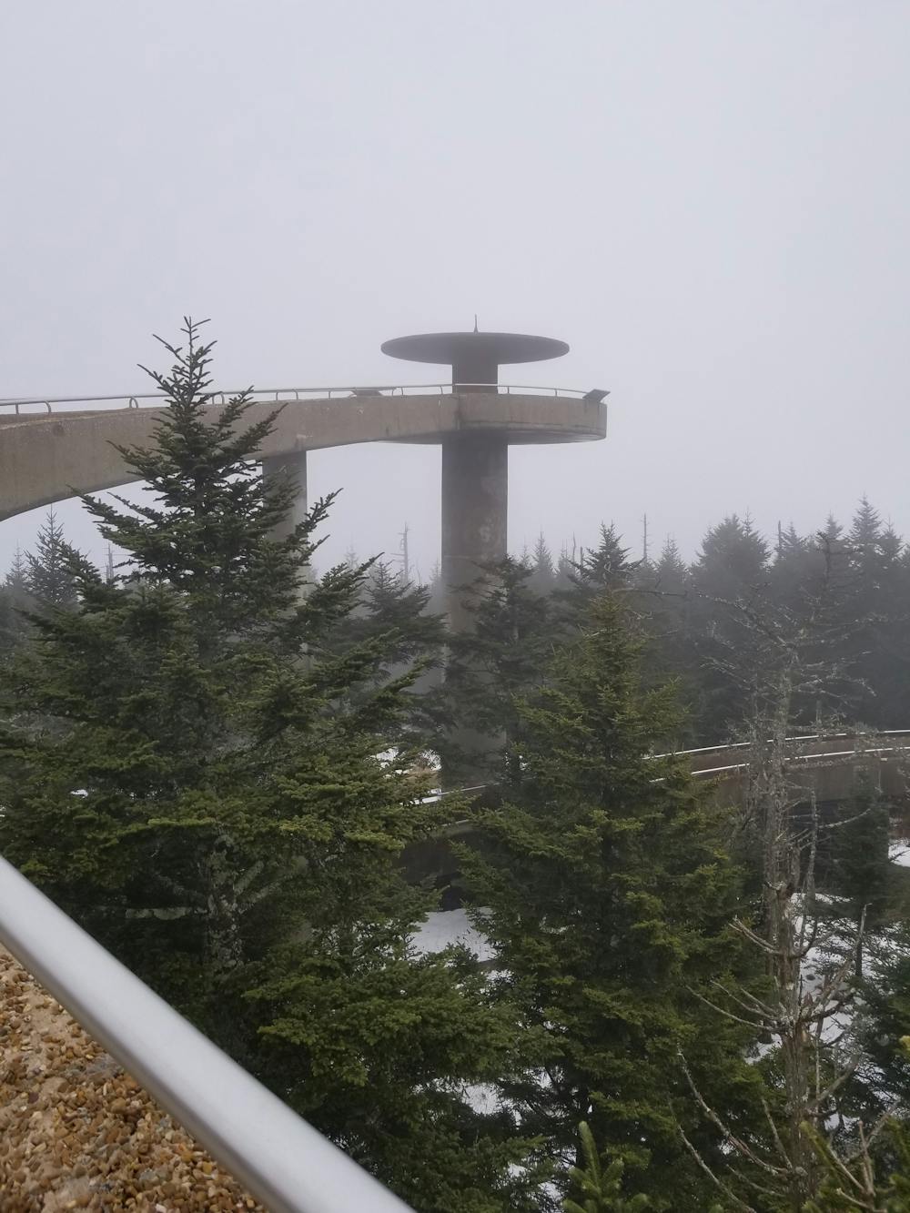
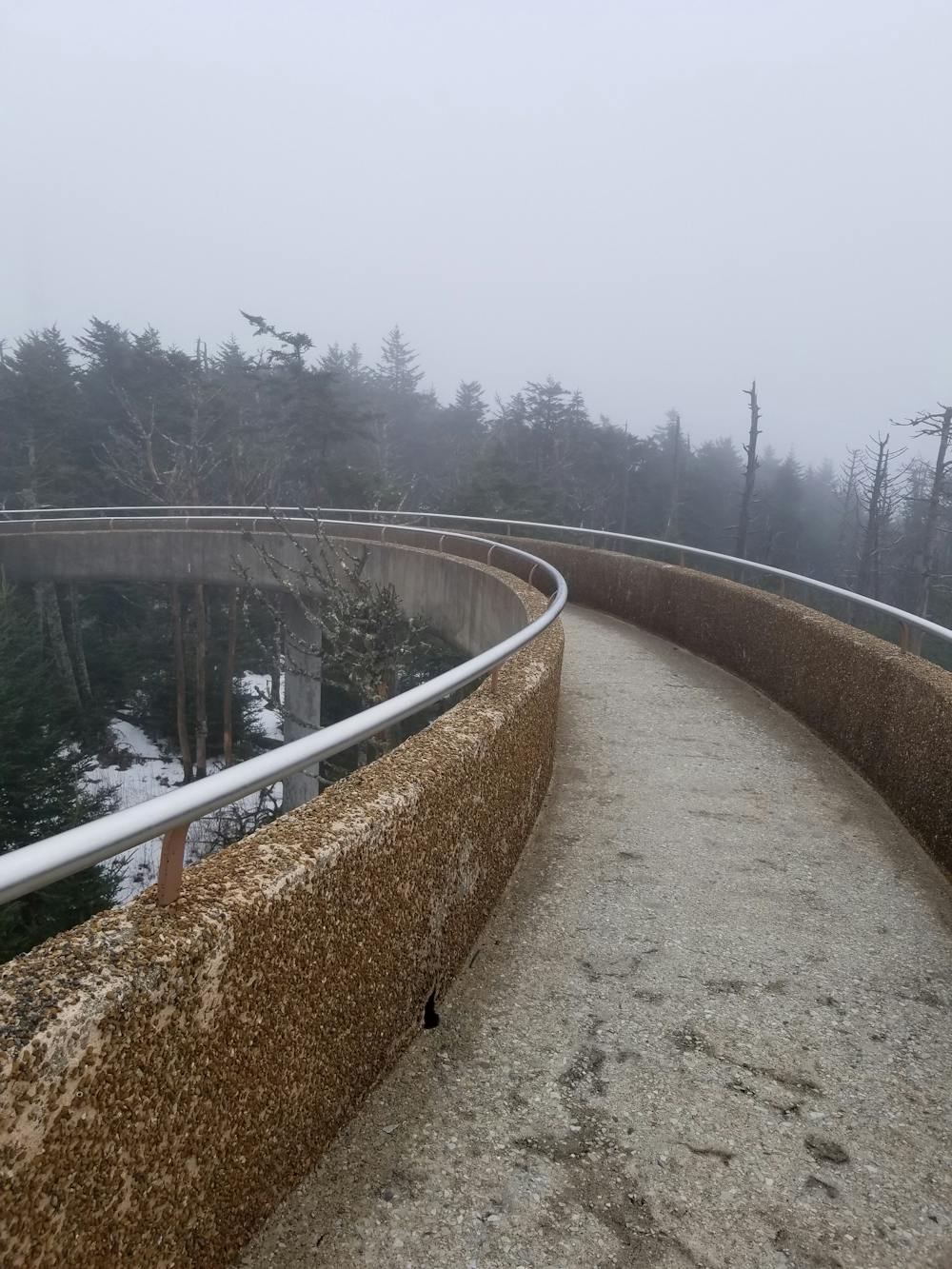
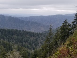
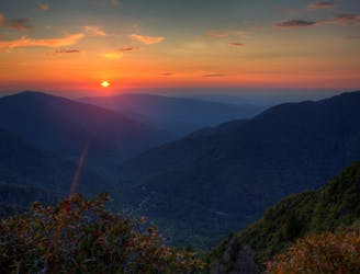
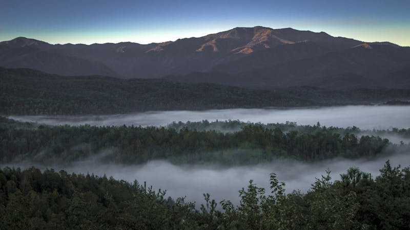
This portion of the trail is perfect for day hikers and backpackers and makes a great point-to-point trek. The MST follows several of the National Park's best trails, beginning at the iconic Clingmans Dome. From the parking lot adjacent to the summit, the entire family can enjoy the inaugural segment of the trail as it climbs to the highest point in the National Park. Atop the viewing platform, you will be welcomed with dramatic, sweeping views of the Smoky Mountains and surrounding Blue Ridge.
The Mountains to Sea Trail, most often referred to as the MST, follows the Appalachian Trail north to the summit of Mountain Collins before departing east. The AT heads northbound for Mount Katahdin in Maine.
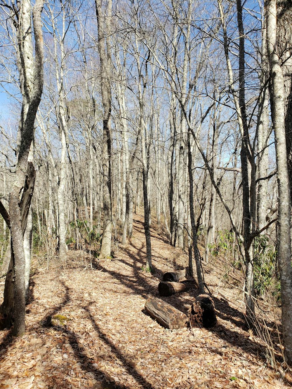
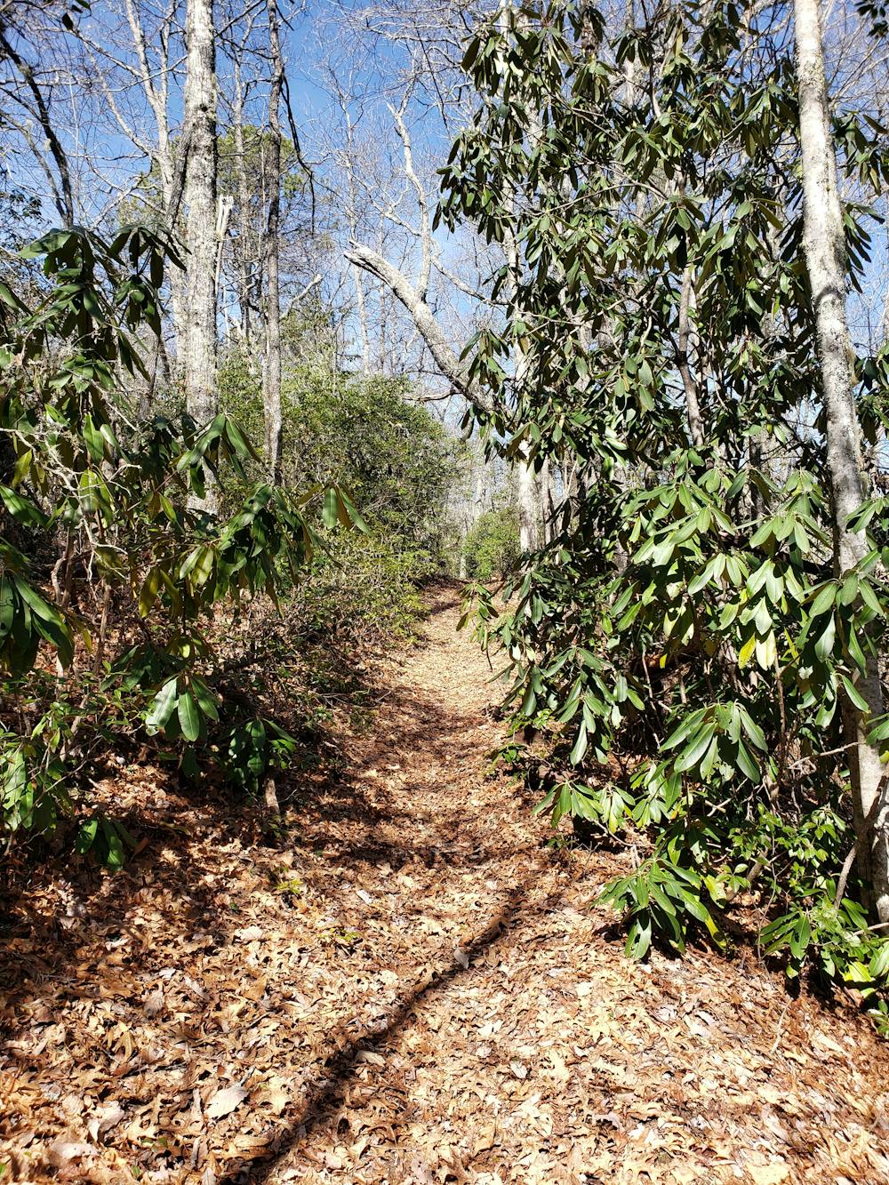
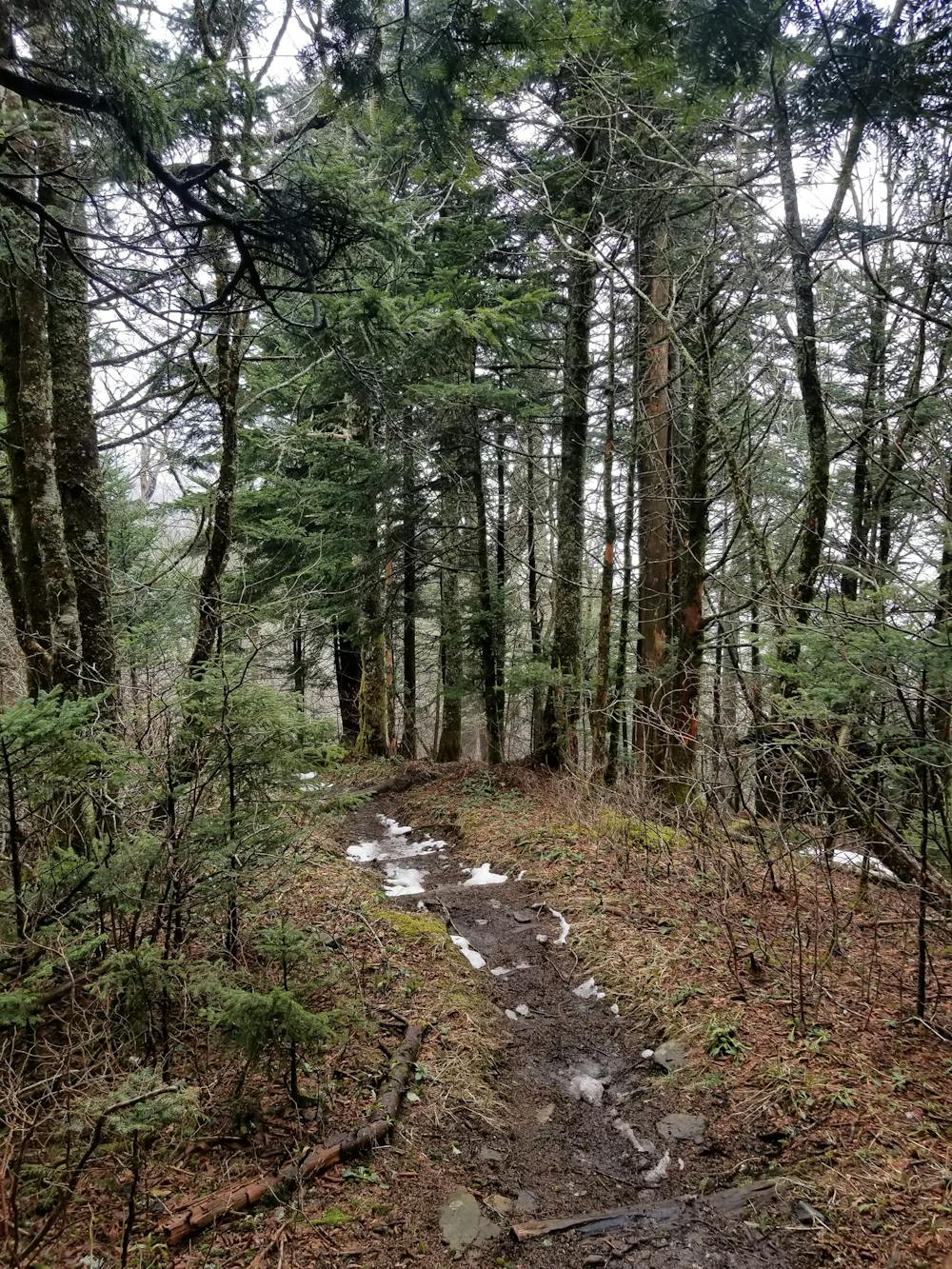
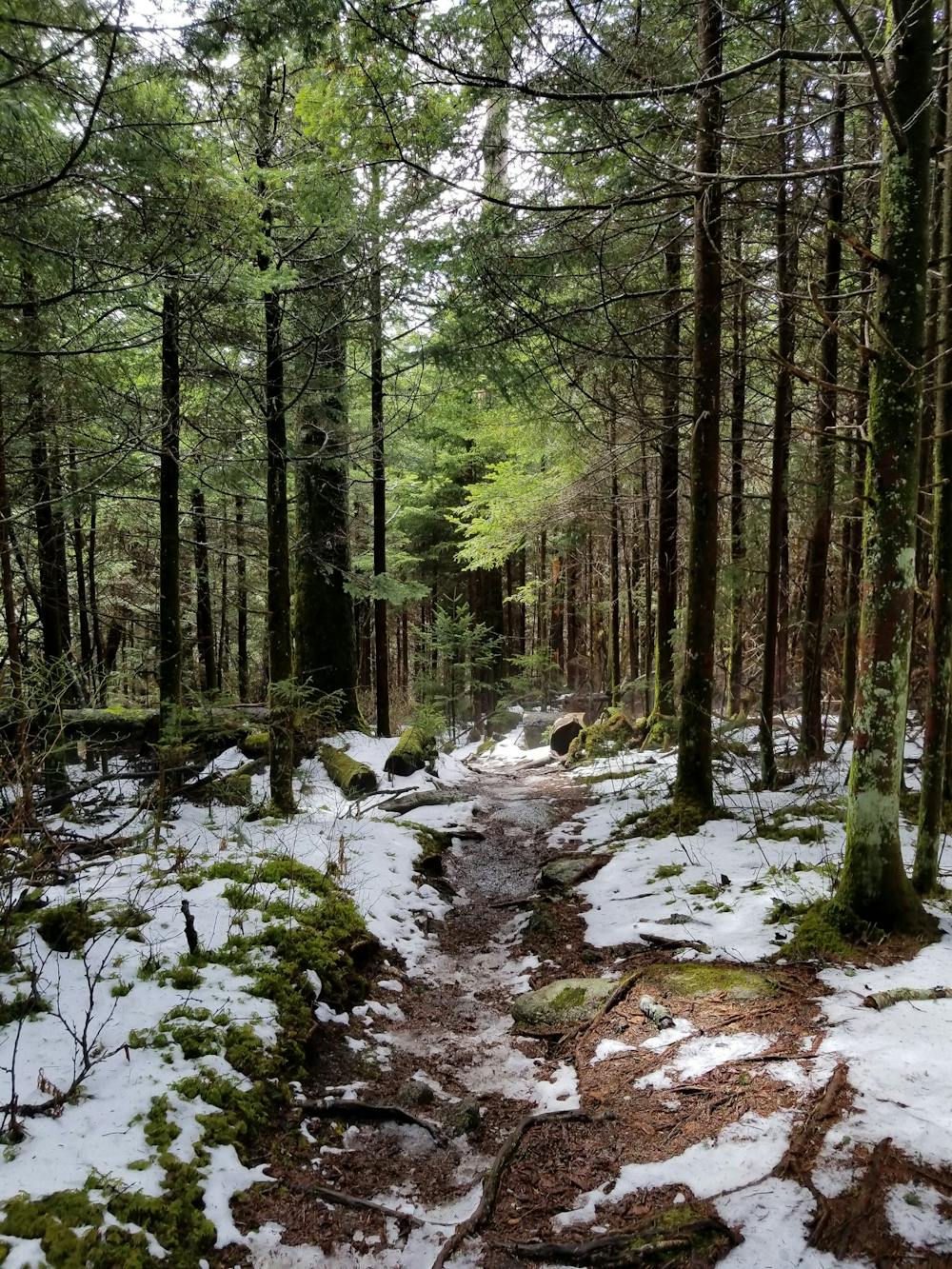
Following the Fork Ridge Trail, take note as the forest transitions away from the beautiful and unique southern Appalachian spruce-fir forest. Typically found in the northern latitudes, this is just the first opportunity you'll have to appreciate the unique flora and fauna found at these elevations.
The MST then follows the Deep Creek Trail as it descends through a drainage and into a narrow valley below. At the junction with the Sunkota Ridge Trail, follow it as it switchbacks its way atop another ridge. Almost instinctively, the trail follows some of the most challenging and relentless routes as it weaves between high peaks and low river valleys.
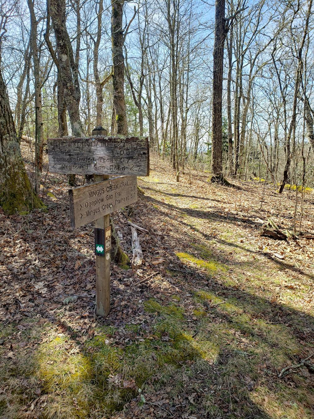
Connecting to Newton Bald via the Thomas Divide Trail, the MST reaches the formerly bald summit. Despite the name, there are no pronounced views and the name is only a reference to the region's long-lasting history of logging and farming.
Round out this portion by descending the historic Mingus Creek Trail. After a brief ridge-top traverse, it turns and follows a river drainage leading to the Historic Mingus Mill.
According to the NPS, "built in 1886, this historic grist mill uses a water-powered turbine instead of a water wheel to power all of the machinery in the building." Mingus Mill also serves as an excellent short hike for the entire family, accessible from the nearby Oconaluftee Visitor Center.
Sources: https://mountainstoseatrail.org/ https://www.nps.gov/grsm/planyourvisit/mfm.htm
Difficult
Hiking trails where obstacles such as rocks or roots are prevalent. Some obstacles can require care to step over or around. At times, the trail can be worn and eroded. The grade of the trail is generally quite steep, and can often lead to strenuous hiking.

The trail contains some obstacles such as outcroppings and rock which could cause injury.

Little chance of being seen or helped in case of an accident.
3 m away
Paved path to an observation tower at the highest point in Great Smoky Mountains National Park.
Easy Hiking
8.8 km away
The second half of the Great Smoky Mountains National Park.
Difficult Hiking
9 km away
A popular route to the summit of Mount LeConte.
Difficult Hiking
9 km away
Steep climb to a popular viewpoint near a craggy summit.
Difficult Hiking

58 routes · Hiking
10 routes · Hiking

7 routes · Hiking

16 routes · Hiking

10 routes · Hiking