9 km away
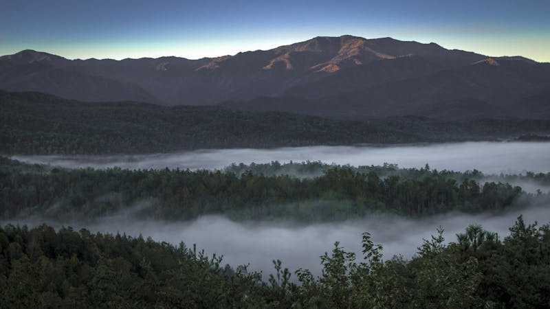
Mount Sterling Loop

Overnight loop with huge elevation gain along waterfall creeks and steep ridgelines in Great Smoky Mountains National Park.
Difficult Hiking
- Distance
- 27 km
- Ascent
- 1.3 km
- Descent
- 1.3 km
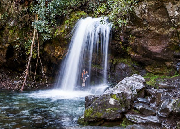
A stunning 90' waterfall that spreads from 2' at the top, to 20' at its base.
Hiking Moderate

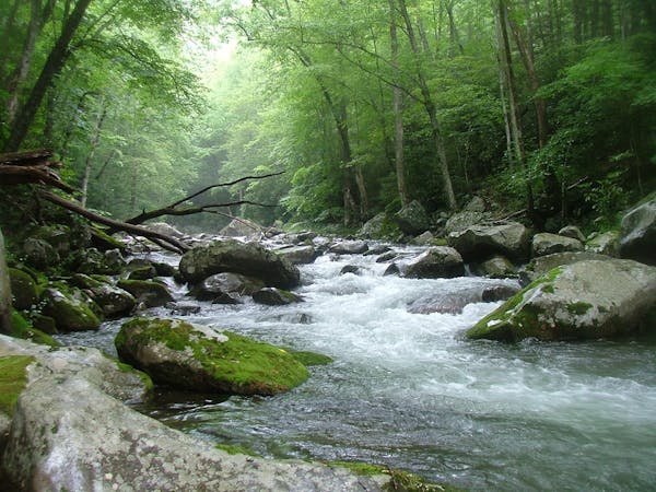
Hen Wallow Falls is a stunning 90' waterfall that spreads from a mere 2' at its highest, to 20' at its base. It's a great hike year-round and moderate to difficult at most. The NPS notes that the walk is 4.4 miles round trip and takes most people between 3 and 4 hours.
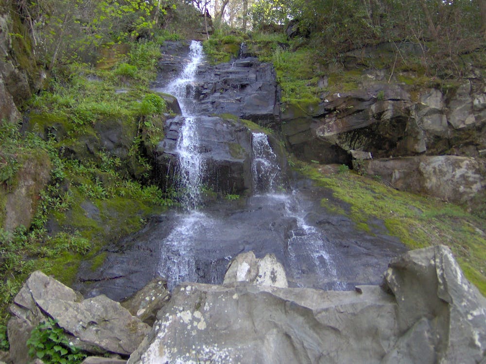
There are several things that make this waterfall hike great. To start, during the warmer months, you can often find salamanders along the base of the falls. During the winter, "the waterfall can freeze into a beautiful icy column," the NPS writes. No matter the time of year, though, the mixture of beautiful hemlock and rhododendron tunnels will surely bring a smile to your face.
As for parking, look for a designated hiker parking lot near the Cosby Picnic Area. Alternatively, if you are spending the night within the campground, there is a spur to access Gabes Mountain Trail instead. The trail is well marked, and the simple out-and-back makes it hard to get lost. The waterfall is located about two miles up the trail and accessed by spur trail to its base.
Source: https://www.nps.gov/grsm/planyourvisit/hen-wallow-falls.htm
Moderate
Hiking along trails with some uneven terrain and small hills. Small rocks and roots may be present.

The trail contains some obstacles such as outcroppings and rock which could cause injury.
Away from help but easily accessed.
9 km away
Overnight loop with huge elevation gain along waterfall creeks and steep ridgelines in Great Smoky Mountains National Park.
Difficult Hiking
9.5 km away
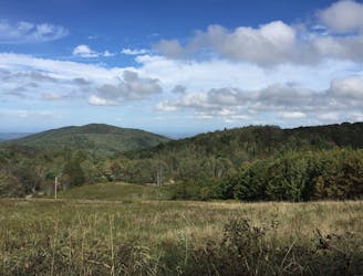
The trek to Max Patch Mountain, a bald, grassy summit with 360° views of the Blue Ridge Mountains.
Moderate Hiking

58 routes · Hiking
10 routes · Hiking
6 routes · Hiking
4 routes · Hiking