3.6 km away
Mullens Cove Loop
A classic trail running loop off the Cumberland Trail in Prentice Cooper State Forest.
Difficult Trail Running
- Distance
- 14 km
- Ascent
- 512 m
- Descent
- 512 m
A lesser-visited loop in Prentice Cooper State Forest with plenty of views along the way.
Trail Running Difficult

Pot Point Loop is one of two popular trail running routes in Prentice Cooper State Forest—Mullens Cove Loop being the other. Both loops combined make up 33.8 miles of the Cumberland Trail and hikers often pair them into an overnight trip.
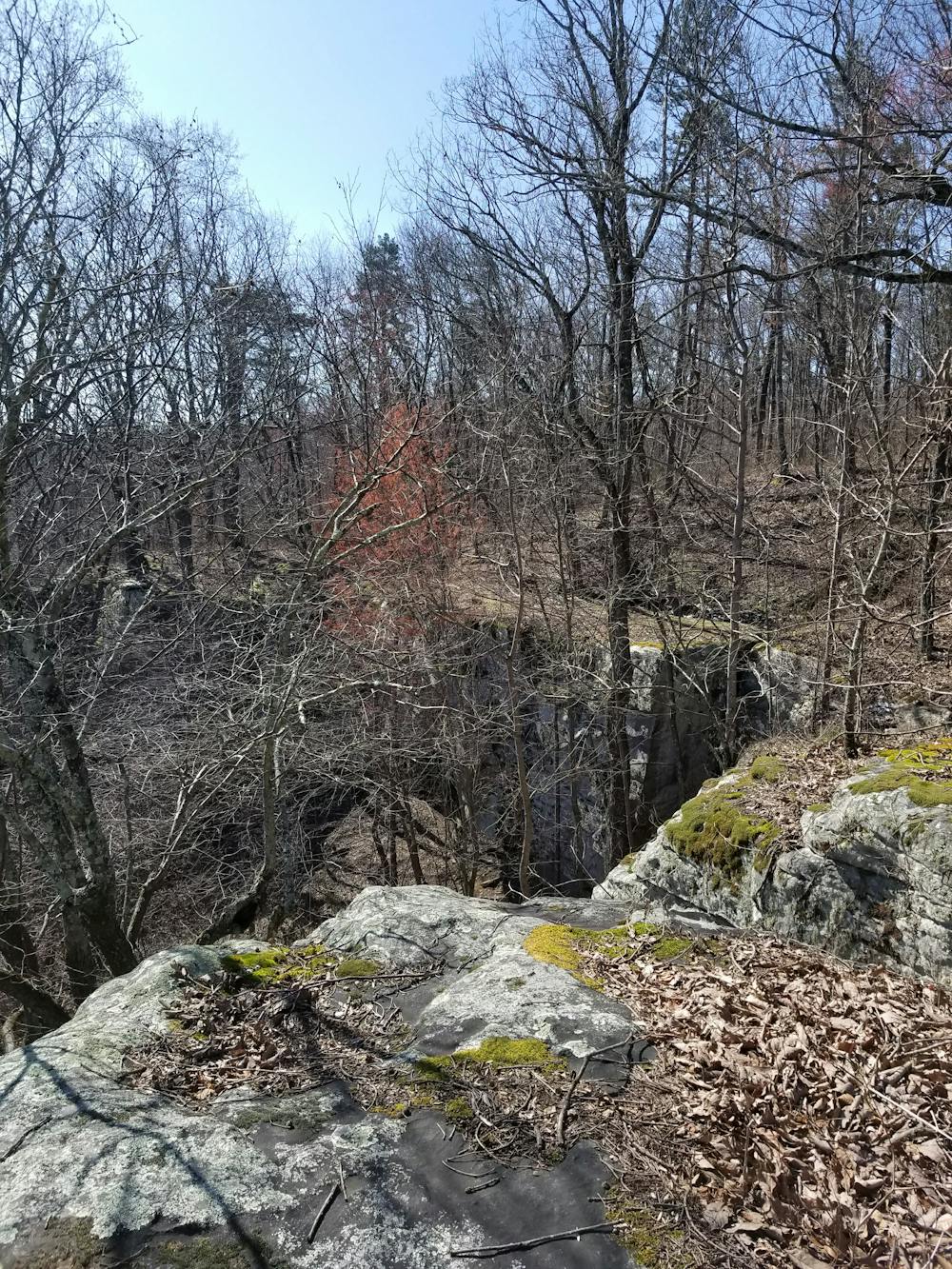
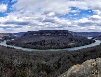
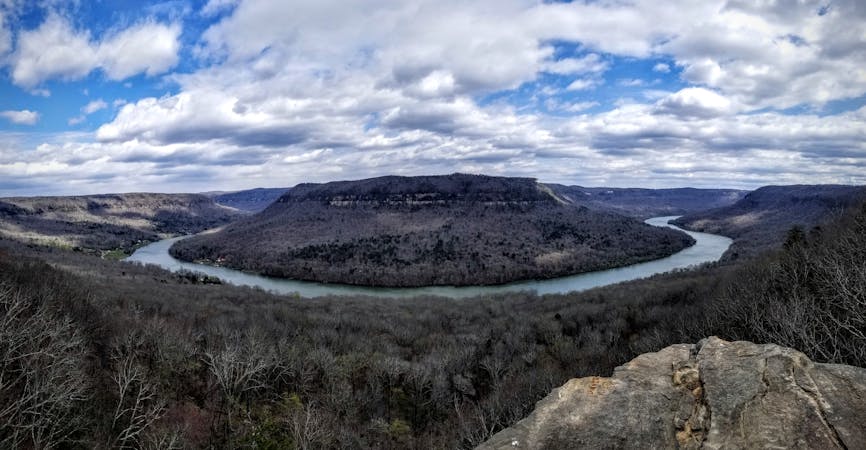
The loop begins at the parking area for Snoopers Rock Overlook. Just a short walk in you're rewarded with an incredibly beautiful overlook of the Chattanooga River. Being close to the parking lot, this is a common destination for a short walk or a great place to enjoy lunch at the end of your run.
Run clockwise, the trail hugs elevation contours as it follows the curve of the Chattanooga River below. Along the way, you'll pass over Natural Bridge, a landmark with a unique traverse over a rock that is "about 25 feet high and 35 feet wide," according to cumberlandtrail.org. Pot Point lies ahead before the trail turns west.
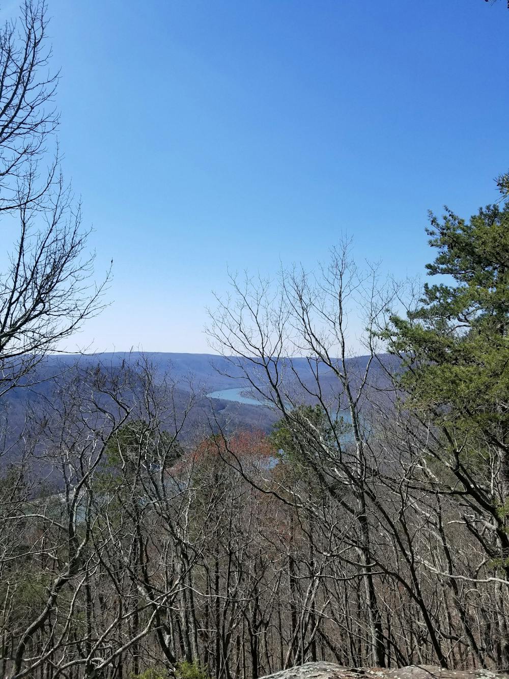
Accessible by a short spur, Raccoon Mountain Overlook lies along the southern stretch of the route and provides some partial views to the river below. This is also an excellent opportunity to enjoy a secluded lunch away from the frequently visited Snoopers Rock.
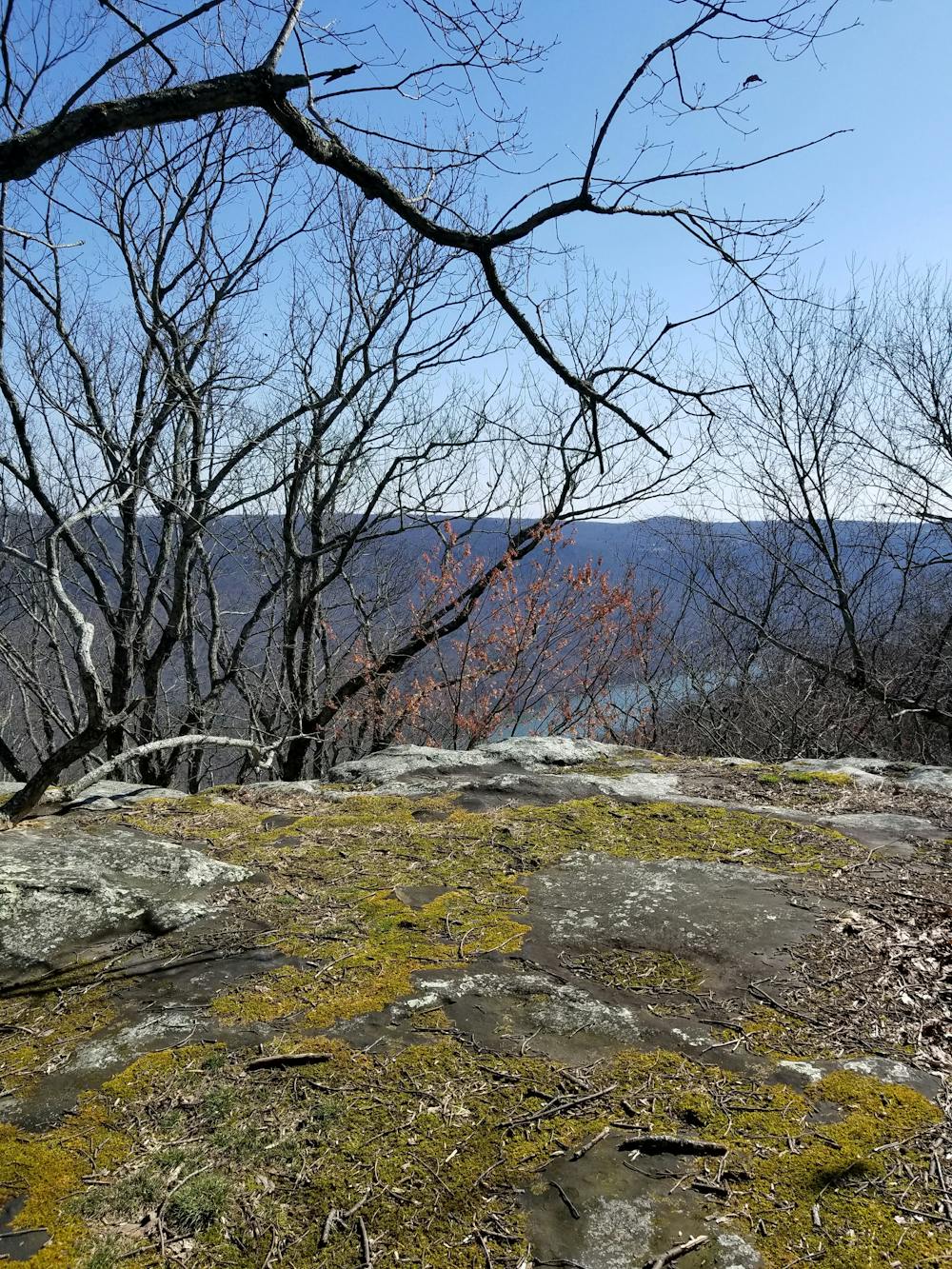
The southwestern corner of the loop passes Gulf Camp, a popular overnight stop for hikers. Crossing Tower Drive, you'll pass a trail kiosk before meandering to the Ransom Hollow Overlook. Another short spur leads to another overlook with partial views to the west.
The loop finishes by sharing a short stretch of trail with the Mullens Cove Loop as you return to the parking lot. Camping is available at Hemlock Branch, just west of where the loops join back together should you wish to spend the night.
Sources: https://www.cumberlandtrail.org/maps-and-guides/trail-segments/tn-river-gorge/pot-point-loop/
Difficult

The trail contains some obstacles such as outcroppings and rock which could cause injury.

Little chance of being seen or helped in case of an accident.
3.6 km away
A classic trail running loop off the Cumberland Trail in Prentice Cooper State Forest.
Difficult Trail Running
6.5 km away
A long trail run atop Raccoon Mountain made popular by the Rabid Raccoon 25K.
Difficult Trail Running
6 routes · Trail Running