7.8 km away
Big Daddy Loop
A staple trail running loop on Lookout Mountain that extends into Georgia.
Moderate Trail Running
- Distance
- 18 km
- Ascent
- 628 m
- Descent
- 628 m
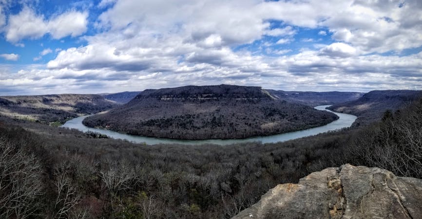
Urban singletrack in north Chattanooga with an overlook of the city.
Trail Running Moderate

Popular among locals, Stringers Ridge is the perfect opportunity to hit the trail without leaving town. The Blue Loop is one of the most traveled and best marked, and there are several opportunities to shorten or extend your run if you're up to explore.
Prentice Cooper State Forest, Racoon Mountain, and Lookout Mountain are all popular destinations for trail runners and hikers alike, but the drive often rules them out for a before or after work run. That's where Stringers Ridge steps up to the plate.
Just 3.5 miles, the blue loop is a great foundation for any run. For extra miles, explore other trails around the park like Cherokee, Strut, Negley's Knoll, or Choo-Choo. Additionally, a developed observation deck on Cherokee Trail is just a short trek off the Blue Loop as you near the center of the park. Look for a sign denoting the way.
This loop begins at the Stringers Ridge - Spears Avenue Trailhead. Alternatively, the High Ridge Trailhead is another popular option to start your run. The entire loop is well-groomed singletrack and the elevation change is always gradual. That said, this is a great opportunity to work on speed, since there are no punishing climbs to disrupt your pace.
Sources: https://www.trgt.org/stringers
Moderate

The trail contains some obstacles such as outcroppings and rock which could cause injury.

Close to help in case of emergency.
7.8 km away
A staple trail running loop on Lookout Mountain that extends into Georgia.
Moderate Trail Running
9.9 km away
A long trail run atop Raccoon Mountain made popular by the Rabid Raccoon 25K.
Difficult Trail Running
6 routes · Trail Running