5.4 km away
Tuff Canyon Trail
A short hike along a stunning canyon formed by ancient lava flows.
Easy Hiking
- Distance
- 927 m
- Ascent
- 25 m
- Descent
- 25 m
A moderate backcountry hike with incredible views, a desert spring, and remnants of an ancient ranch.
Hiking Moderate

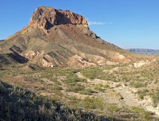
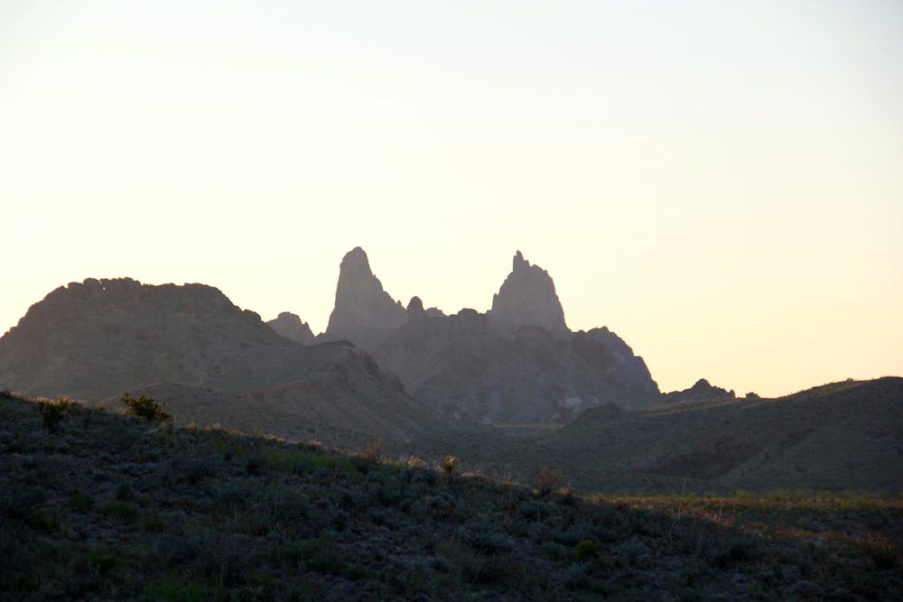
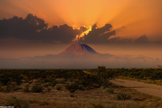
The Mule Ears are a pair of distinct mountain peaks that can be seen throughout the park. There is no official summit trail to reach them, but this hike begins with a spectacular overlook of the peaks, then wanders along the desert floor to the remnants of an ancient ranch. For those who continue further to Smoky Creek, some sources even suggest you may find quartz and other crystals scattered along the creek bed, though collecting them is not allowed in the park.
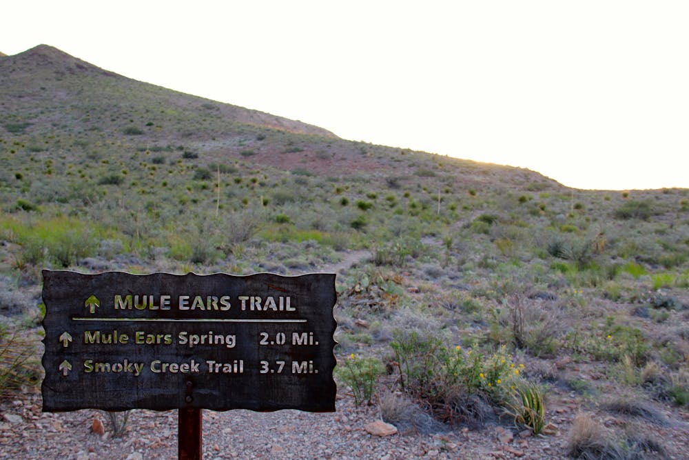
To begin this hike, make your way to the Mule Ears Overlook off of Ross Maxwell Scenic Drive. There is no cell reception within the park, so grab a printed map or ask a Ranger for directions if you are nervous about finding the trailhead. The parking area is small, but many visitors forgo the hike for a photo from the overlook instead. There are no facilities, drinking water, or shade at the parking lot, so plan accordingly.
This hike is mapped at 3.5 miles each way, though many hikers choose only to hike in two miles to the stone ranch ruins and nearby spring. While it is rarely more than a trickle for most of the year, the spring should not be disturbed or used as a source of potable water or for bathing. You may, however, enjoy relaxing in the nearby shade before returning back to the trailhead.
Those who choose to venture further on the trail towards Smoky Creek will be welcomed with more spectacular views of the Mule Ears towering above the desert floor. There is a distinct drop in elevation as you approach the end of the trail, though, so do not hesitate to turn around if you are feeling fatigued or are running short on water. This portion of the park is extremely remote, and human interaction is extremely unlikely.
Sources:
https://bigbendguide.com/inside-the-park/hikes/day-hikes/mule-ear-spring-trail/ http://www.texashiking.com/Logs/ShowLog.aspx?LogID=2831
Moderate
Hiking along trails with some uneven terrain and small hills. Small rocks and roots may be present.

The trail contains some obstacles such as outcroppings and rock which could cause injury.

Little chance of being seen or helped in case of an accident.
5.4 km away
A short hike along a stunning canyon formed by ancient lava flows.
Easy Hiking
12 routes · Hiking
4 routes · Hiking