5.4 km away
Mule Ears Trail
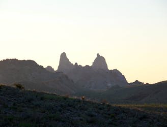
A moderate backcountry hike with incredible views, a desert spring, and remnants of an ancient ranch.
Moderate Hiking
- Distance
- 11 km
- Ascent
- 318 m
- Descent
- 318 m
A short hike along a stunning canyon formed by ancient lava flows.
Hiking Easy

Tuff Canyon is one of the classic short hikes in Big Bend National Park, and despite its name, it's actually quite easy! There are several views along the rim of the canyon, or you could venture further in along a spur trail for spectacular close-up views where the lava rock walls seamlessly transition into the canyon floor. Most versions of this hike are less than one mile and perfect for the entire family.
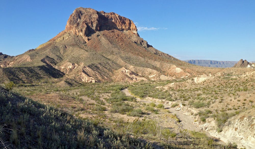
The canyon earned its name from "the material that lines the steep walls on either side of the trail," also known as "tuff". Abrasive and light in color, "tuff is volcanic ash that has hardened into rock-like forms," and remnants of this ancient volcanic activity have created many unique and interesting rock formations. Most of these rocks can be viewed from the trail, or from one of the several defined vistas along the way.
Parking for this hike begins near mile marker 20 on Ross Maxwell Scenic Drive. It is a small roadside pull-off with no drinking water, restrooms, or shade. The Castolon Historic District is just a short drive further and a great "place to stop on the way to the spectacular Santa Elena Canyon," according to the NPS. The area also offers the opportunity to learn about the history of Big Bend, specifically the extensive ranching and farming that continued until 1961.
Easy
Walking along a well-kept trail that’s mostly flat. No obstacles are present.

The trail contains some obstacles such as outcroppings and rock which could cause injury.
Away from help but easily accessed.
5.4 km away
A moderate backcountry hike with incredible views, a desert spring, and remnants of an ancient ranch.
Moderate Hiking
12 routes · Hiking
4 routes · Hiking