5.6 km away
Fresno-Sauceda IMBA Epic Loop
"The Other Side of Nowhere" — a brutal, demanding loop running deep into the most remote corners of Big Bend Ranch State Park.
Severe Mountain Biking
- Distance
- 94 km
- Ascent
- 1.2 km
- Descent
- 1.2 km
Easy singletrack rolling along a mostly-flat desert floor.
Mountain Biking Moderate

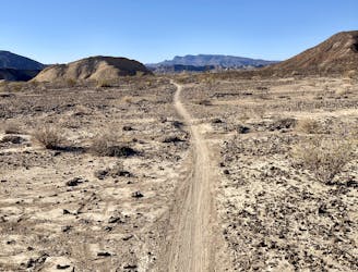
The Lajitas Airport Trails offer beginner-friendly singletrack winding through the desert just to the east of Big Bend Ranch State Park. While these trails are not nearly as high quality as the Contrabando trails, they still have a loyal following of riders and do offer some beautiful views of the surrounding mountains.

The trailhead is easily accessible off of Highway 170, and on most days during peak season, you'll see a few cars parked here. While there are several different trails and loops through this system, the route shown here is one of the more popular itineraries.
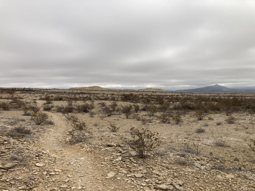
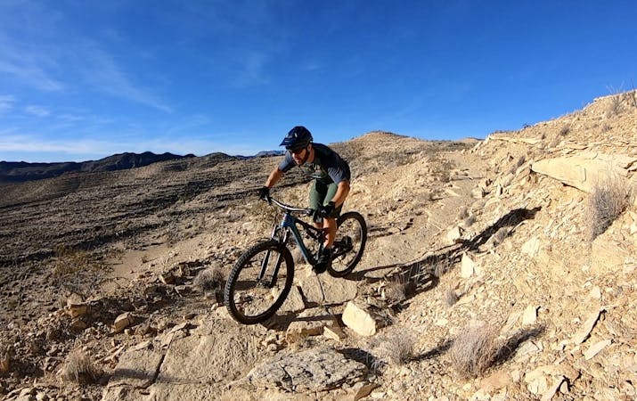
The singletrack at the start of the ride is smooth and twisty, winding slowly up the rise of the desert. This non-technical singletrack makes the Lajitas Airport trails a fantastic place to help new mountain bikers get into the sport. At some points, the trail gets a bit steep as it climbs up small ridges before bombing down the other side.
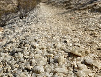
As you ride, keep your eyes out for reroutes around places where flash floods have washed out the trail. These reroutes can be hard to spot, but they're usually marked by rock cairns.
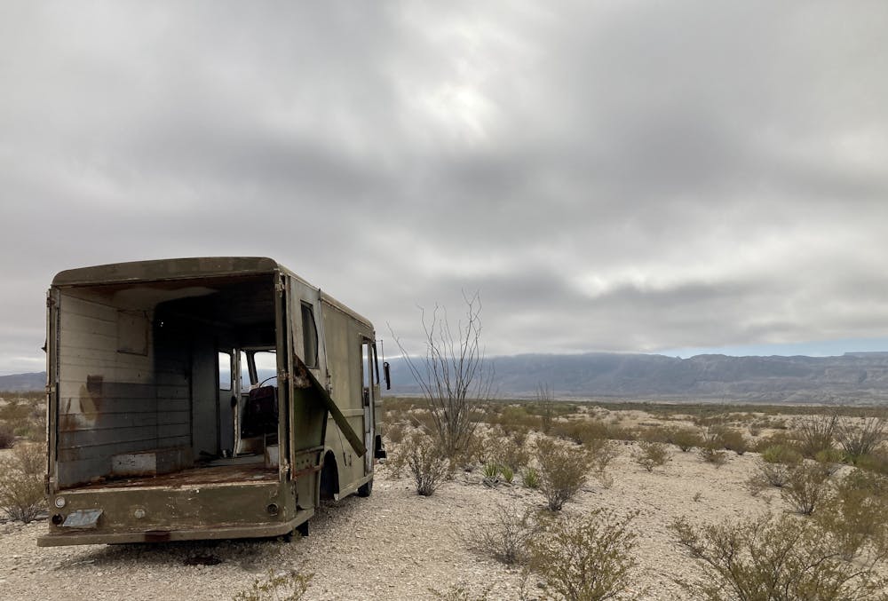
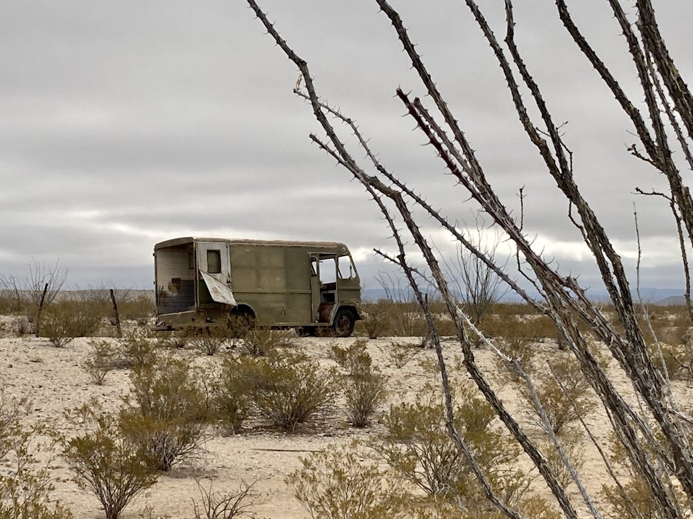
Near the midpoint of the loop, you'll pass a gutted-out box truck in the middle of the desert and inevitably spend some time wondering about this truck's story.
The far reaches of the loop demand the most climbing as you'll pedal up the bottoms of the foothills on a series of short climbs and descents. The views from the elevated vantage points are vast—you'll get to appreciate the immensity of the Chihuahuan desert.
The final stretches of the loop navigate through a mess of poorly-signed trails, some old doubletrack road grades, and some better-maintained gravel roads. Be sure to download this route for offline access so you can navigate through this maze of desert tracks.
Moderate
Mostly stable trail tread with some variability, with unavoidable obstacles 8in/20cm tall or less. Other obstacles such as rock gullies and steep sections may exist. Ideal for lower intermediate riders.

The path is on completely flat land and potential injury is limited to falling over.
Close to help in case of emergency.
5.6 km away
"The Other Side of Nowhere" — a brutal, demanding loop running deep into the most remote corners of Big Bend Ranch State Park.
Severe Mountain Biking
5.6 km away
Pedal flowy trails out to the historic Whit Roy Mine.
Moderate Mountain Biking
5 routes · Mountain Biking