1 m away
Fresno-Sauceda IMBA Epic Loop
"The Other Side of Nowhere" — a brutal, demanding loop running deep into the most remote corners of Big Bend Ranch State Park.
Severe Mountain Biking
- Distance
- 94 km
- Ascent
- 1.2 km
- Descent
- 1.2 km
Pedal flowy trails out to the historic Whit Roy Mine.
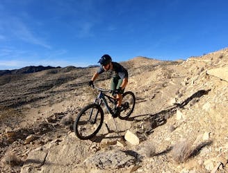
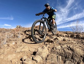
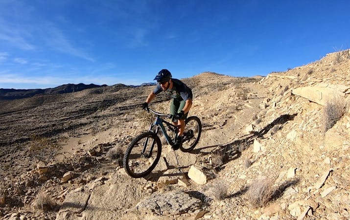
Mountain Biking Moderate

The East Contrabando Trailhead is one of the most easily-accessible mountain bike trailheads in the region, located just across the highway from the Barton Warnock Visitors Center for Big Bend Ranch State Park. From the trailhead, you have the choice to begin on the Dog Cholla trail (recommended) or on Buena Suerte Road. Even if you follow the route as mapped and make the most of the short stretches of dedicated singletrack connecting to Buena Suerte Road, Buena Suerte still forms the core of this ride out to the Whit Roy Mine and Buena Suerte Ghost town.
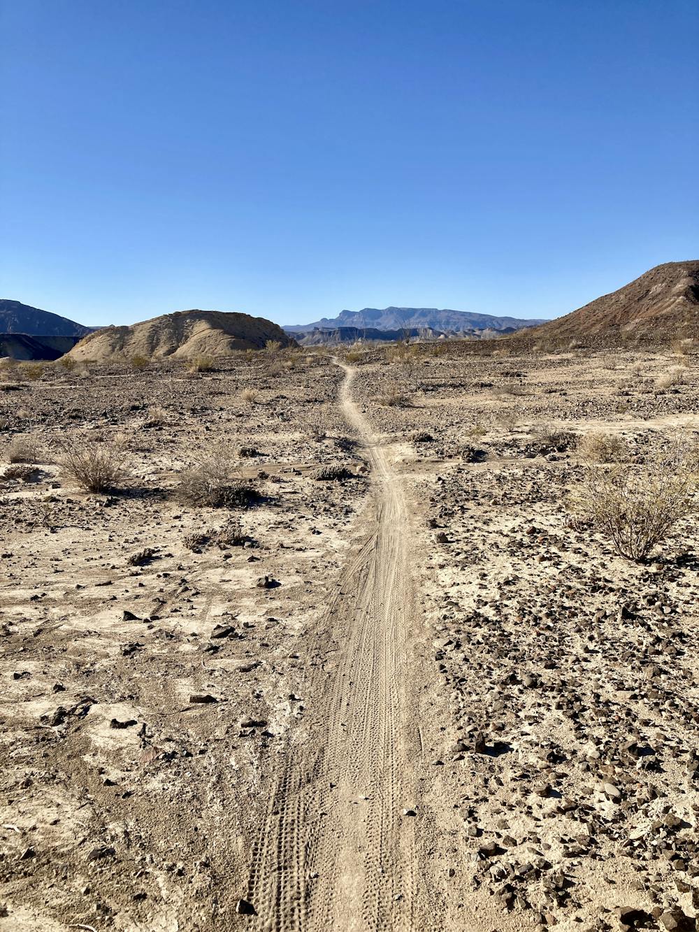
Calling Buena Suerte a "road" is a misnomer today, as this old wagon trail has narrowed down to a singletrack trail in many places. However, the name harkens back to the region's history as one of the top quicksilver producers in the nation. The quicksilver mining heydays lasted from about 1900 to 1950, when demand from World Wars I and II saw quicksilver—at the time, a key ingredient in detonators—from Big Bend shipped around the world.
The mines through the region and at the end of this ride extracted cinnabar ore, which occurs here in high concentrations. "Mining companies dug shafts hundreds of feet deep and lugged out cinnabar by hand, cart, and burro," writes Matt Joyce on TexasHighways.com. "Furnaces heated the scarlet-red rock to release mercury vapor, which was condensed into liquid metal and bottled in cast-iron flasks," he continues.
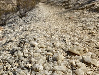
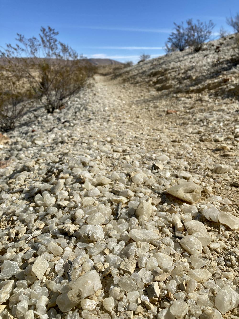
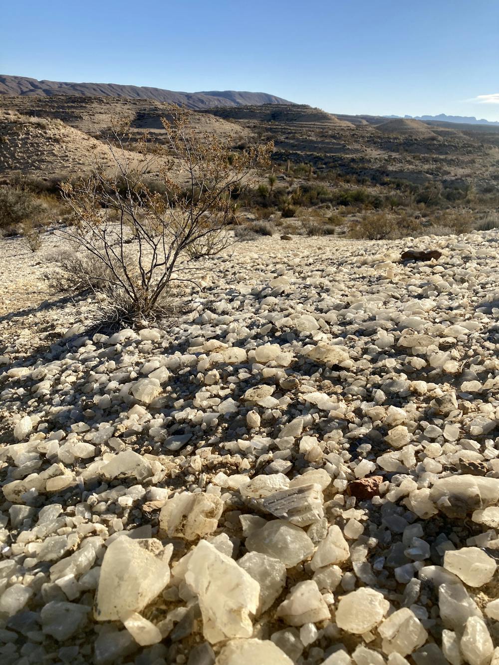
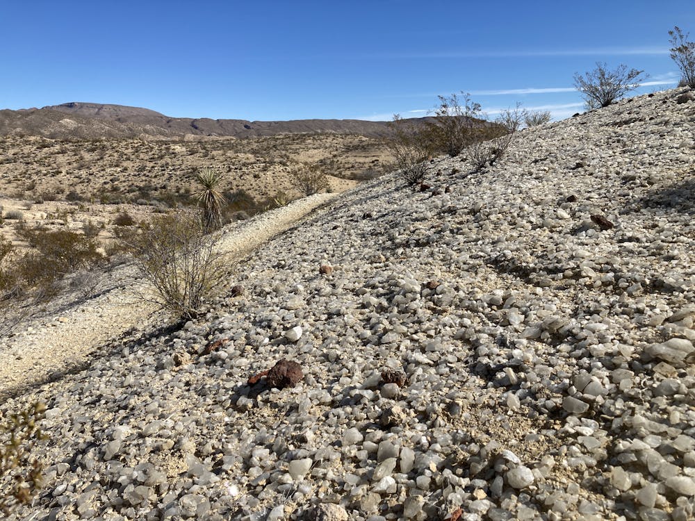
The ride out to Whit Roy Mine follows Buena Suerte Road for the most part, but it spurs off onto optional singletrack offshoots. Some, such as the Crystal Trail, are easy and entertaining singletrack. Crystal Trail is well-worth the diversion, as the singletrack leads to a hillside covered in quartz crystals glittering in the sunlight.
The nearby Rock Quarry trail is steeper and rougher, but provides a fun diversion from the smooth, easy pedaling found on Buena Suerte.
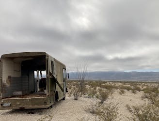
The eventual destination is Whit Roy Mine. Buena Suerte ghost town and Fresno Mine are both located in this same area as well.
"At the Whit-Roy Mine, the steel, concrete, and rubber of an old rock crusher, hopper, furnace, and conveyor belt convey the mine’s industrial nature, minus the constant noise that would have accompanied such an operation," writes Matt Joyce. "Steps away, the ghost town of Buena Suerte retains the abandoned buildings of a 1940s mercantile and school as well as a striking collection of row houses."
Once done exploring the mine site, you can choose to return to the car the same way you came. If you're looking for more mileage, you can also tack on a loop on the West Contrabando Trails, which connect to Buena Suerte Road. Finally, this mere 15.5-mile out-and-back ride is just the beginning of a demanding 58-mile IMBA Epic loop ride heading deep into the remotest parts of Big Bend Ranch State Park. You can't tackle this loop on a whim, though—you'll have to come fully prepared for a true desert excursion.
Moderate
Mostly stable trail tread with some variability, with unavoidable obstacles 8in/20cm tall or less. Other obstacles such as rock gullies and steep sections may exist. Ideal for lower intermediate riders.

The path is on completely flat land and potential injury is limited to falling over.

Away from help but easily accessed.
1 m away
"The Other Side of Nowhere" — a brutal, demanding loop running deep into the most remote corners of Big Bend Ranch State Park.
Severe Mountain Biking
5.6 km away
Easy singletrack rolling along a mostly-flat desert floor.
Moderate Mountain Biking
9.1 km away
A rough and rowdy loop through the West Contrabando trails.
Severe Mountain Biking
9.1 km away
Rip down the longest descent in the West Contrabando trail system.
Difficult Mountain Biking
5 routes · Mountain Biking