4 km away
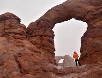
Fiery Furnace
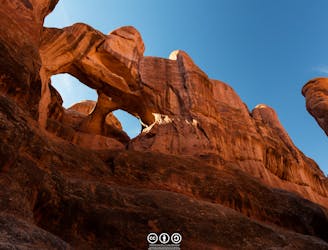
This off-trail hiking area provides one of Moab's most challenging—and rewarding—hiking experiences.
Extreme Hiking
- Distance
- 2.9 km
- Ascent
- 180 m
- Descent
- 180 m
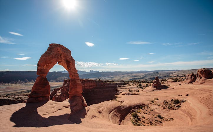
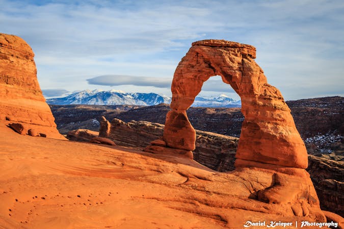
Hike to the iconic arch in Arches National Park.
Hiking Moderate

The 3-mile out-and-back hike to the iconic Delicate Arch is one of those National Park experiences that you must EXPECT to be crowded. It is well-worth adjusting your expectations to the full understanding that you are one of many visitors who want to see such an incredibly beautiful place. Once that is understood, it is much easier to enjoy the experience.

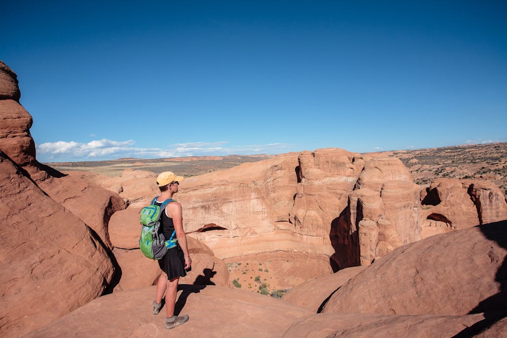
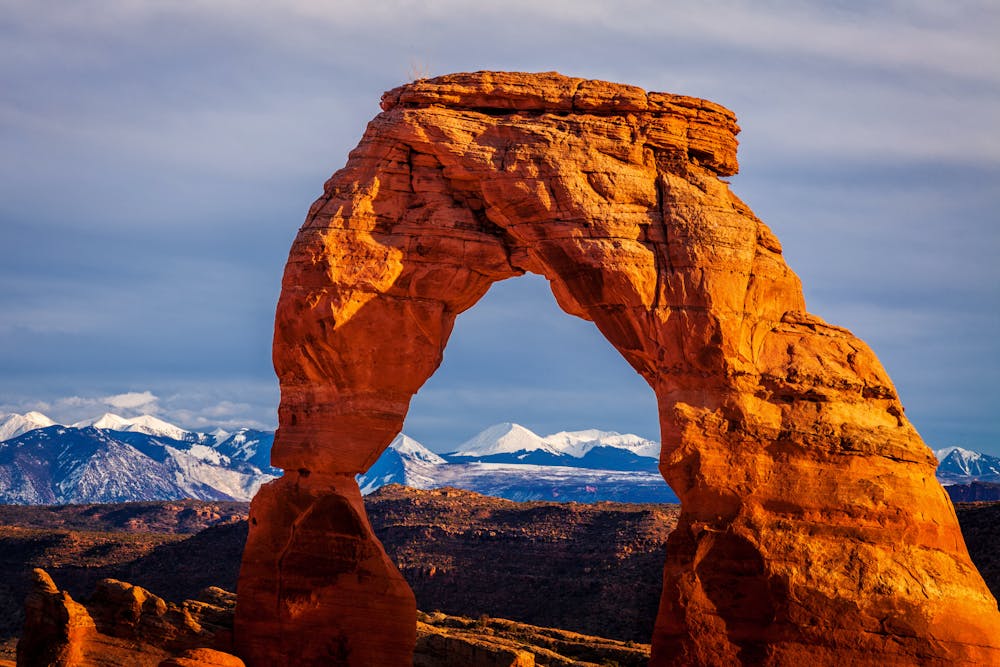
The hike begins at the historic Wolfe Ranch, which dates back to 1888. It is worth the time to look around, either at the start or end of the hike.
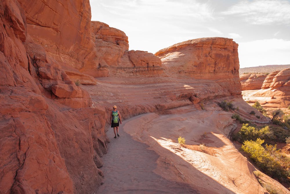
The first 1/2 mile of trail is pristine, but soon after becomes a long expanse of slickrock that takes hikers steadily upward.
The route is marked with rock cairns, but is also quite obvious due to the worn marks created by millions of feet over many, many years. This part of the hike is completely open, which means that it is almost always hot. As with all hikes in the park, it is best to go in the spring or the fall, when the temperature is less brutal.
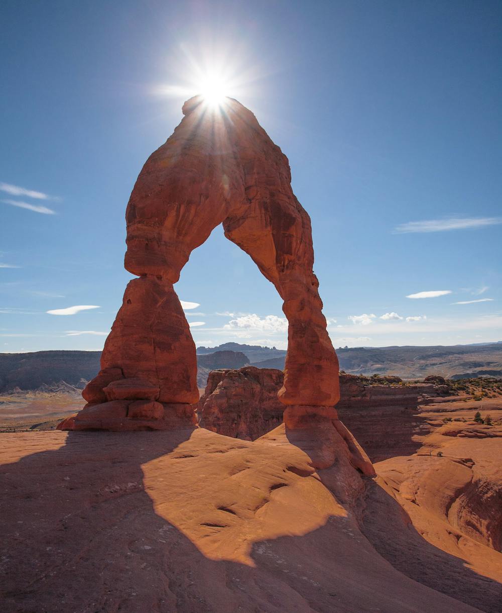
The final stretch of trail is a wide ledge, amazingly built into rock walls. This ledge is flat and wide, but can still provoke some anxiety in those with a fear of heights. This ledge takes hikers around a corner to the first breathtaking view of Delicate Arch.
Delicate Arch is one of the most photographed arches anywhere, but be prepared to be patient if getting the perfect shot is the goal. If the usual crowds are present, it can take quite a while to get a shot without people in it. It is worth remembering that, literally, the entire world wants to see Delicate Arch as much as you do!
Like so many destinations in National Parks, Delicate Arch is worth the time to be patient and simply soak it all in.
On the return trip, shortly before getting back to the trailhead, there is a very short trail to a Ute petroglyph panel. The short diversion is worth it for the opportunity to see some well-defined petroglyphs close up.
Moderate
Hiking along trails with some uneven terrain and small hills. Small rocks and roots may be present.

The trail contains some obstacles such as outcroppings and rock which could cause injury.
Away from help but easily accessed.
4 km away
This off-trail hiking area provides one of Moab's most challenging—and rewarding—hiking experiences.
Extreme Hiking
5.5 km away
One of the easiest hikes in Arches National Park leads to one of the best views!
Easy Hiking
5.6 km away
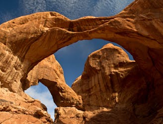
Home to the largest concentration of natural arches in the world!
Moderate Hiking
8.3 km away
The most difficult maintained trail in Arches National Park.
Severe Hiking
6 routes · Hiking
14 routes · Hiking
4 routes · Mountain Biking · Hiking

25 routes · Alpine Climbing · Hiking

10 routes · Hiking

10 routes · Hiking

63 routes · Alpine Climbing · Hiking