4 km away
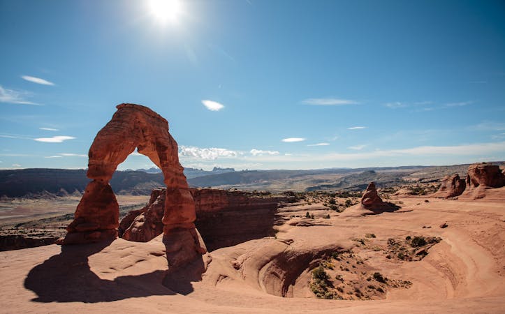
Delicate Arch
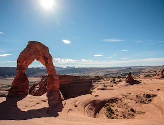
Hike to the iconic arch in Arches National Park.
Moderate Hiking
- Distance
- 5 km
- Ascent
- 193 m
- Descent
- 193 m
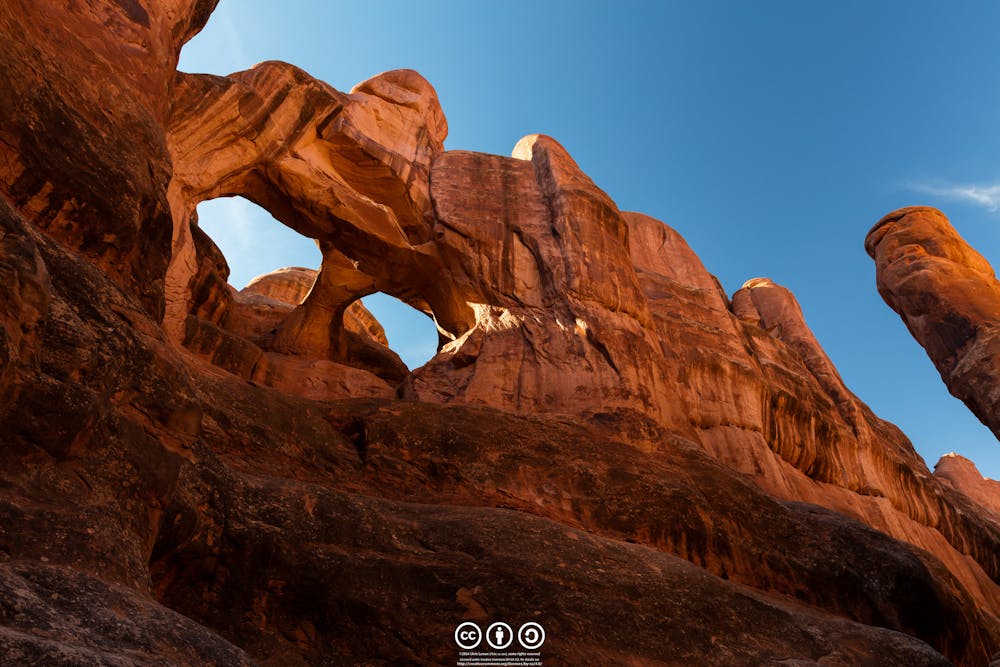
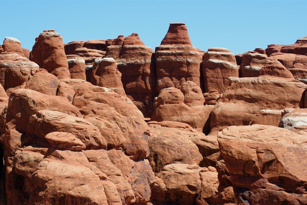
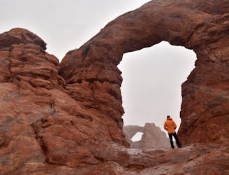
This off-trail hiking area provides one of Moab's most challenging—and rewarding—hiking experiences.
Hiking Extreme

The Fiery Furnace area isn't a clearly-defined hike down a marked trail but rather, a labyrinth of soaring rock fins, spires, and arches that intrepid hikers can scramble through. Hiking through this area of Arches National Park requires climbing up and over the rock fins, squeezing through narrow passages, traversing narrow rock ledges, and more. The Fiery Furnace area "spans a roughly 2-mile route between towering, maze-like canyon walls," according to NationalParks.org.
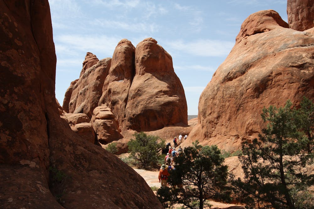
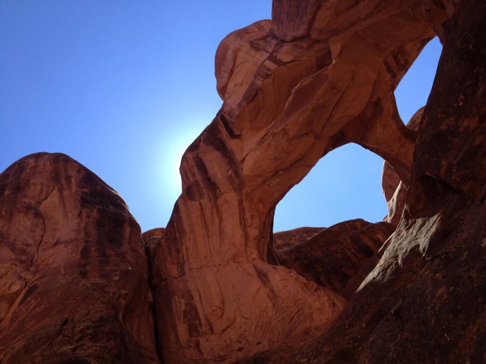
If you choose to head into the Fiery Furnace, you must be prepared to be 100% self-sufficient and be able to navigate without any trail markers whatsoever. "Unlike many hiking trails, which feature steep climbs and high elevations, Fiery Furnace tests your ability to keep your bearings and find solid footing in a disorienting place," says NationalParks.org. "There are no trail signs or markers, and GPS units have a tendency to fail among the lofty sandstone walls. Navigating the difficult passages takes stamina, agility, and acute attention to detail."
For advanced hikers and climbers, the unmarked and totally off-trail nature of hiking in the Fiery Furnace is precisely the allure. You can't find this type of raw exploration anywhere except the unique rock formations provided by these desert landscapes.
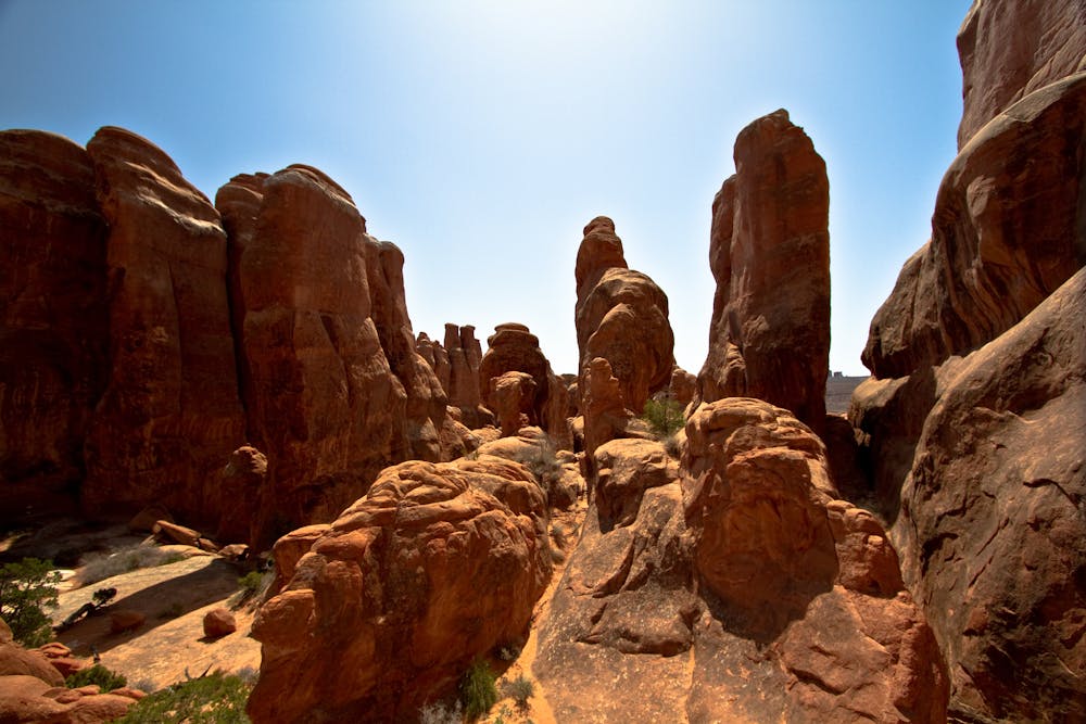
If you choose to head into the Fiery Furnace, you'll have to acquire a backcountry permit from the Visitors Center. Alternatively, if you're not quite up for scrambling through a forbidding rock landscape on your own, you can choose to instead join a ranger-led guided tour for a cost of $10 per person.
Extreme
Scrambling up mountains and along technical trails with moderate fall exposure. Handholds are necessary to navigate the trail in its entirety, although they are not necessary at all times. Some obstacles can be very large and difficult to navigate, and the grades can often be near-vertical. The challenge of the trail and the steepness of the grade results in very strenuous hiking. Hikes of this difficulty blur the lines between "hiking" and "climbing".

Some trail sections have exposed ledges or steep ascents/descents where falling could cause serious injury.

In the high mountains or remote conditions, all individuals must be completely autonomous in every situation.
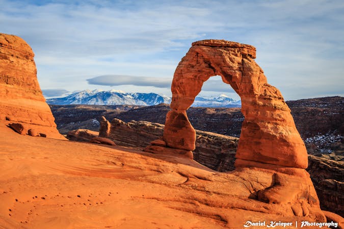
4 km away
Hike to the iconic arch in Arches National Park.
Moderate Hiking
5.1 km away
The most difficult maintained trail in Arches National Park.
Severe Hiking
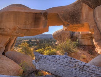
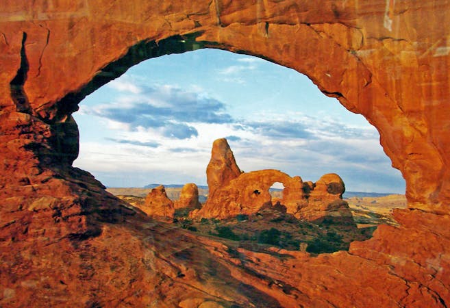
6.5 km away
One of the easiest hikes in Arches National Park leads to one of the best views!
Easy Hiking
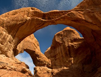
6.7 km away
Home to the largest concentration of natural arches in the world!
Moderate Hiking
6 routes · Hiking
14 routes · Hiking
4 routes · Mountain Biking · Hiking

25 routes · Alpine Climbing · Hiking

10 routes · Hiking

10 routes · Hiking

63 routes · Alpine Climbing · Hiking